Steel Fell to Helm Crag
Distance: 14.7km
Ascent: 606m
Duration: 6 Hours 56 Minutes
Today I was dropped off at Wythburn on the southern end of Thirlmere and did a linear walk to Steel Fell, Calf Crag, Gibson Knott and ending at Helm Crag.
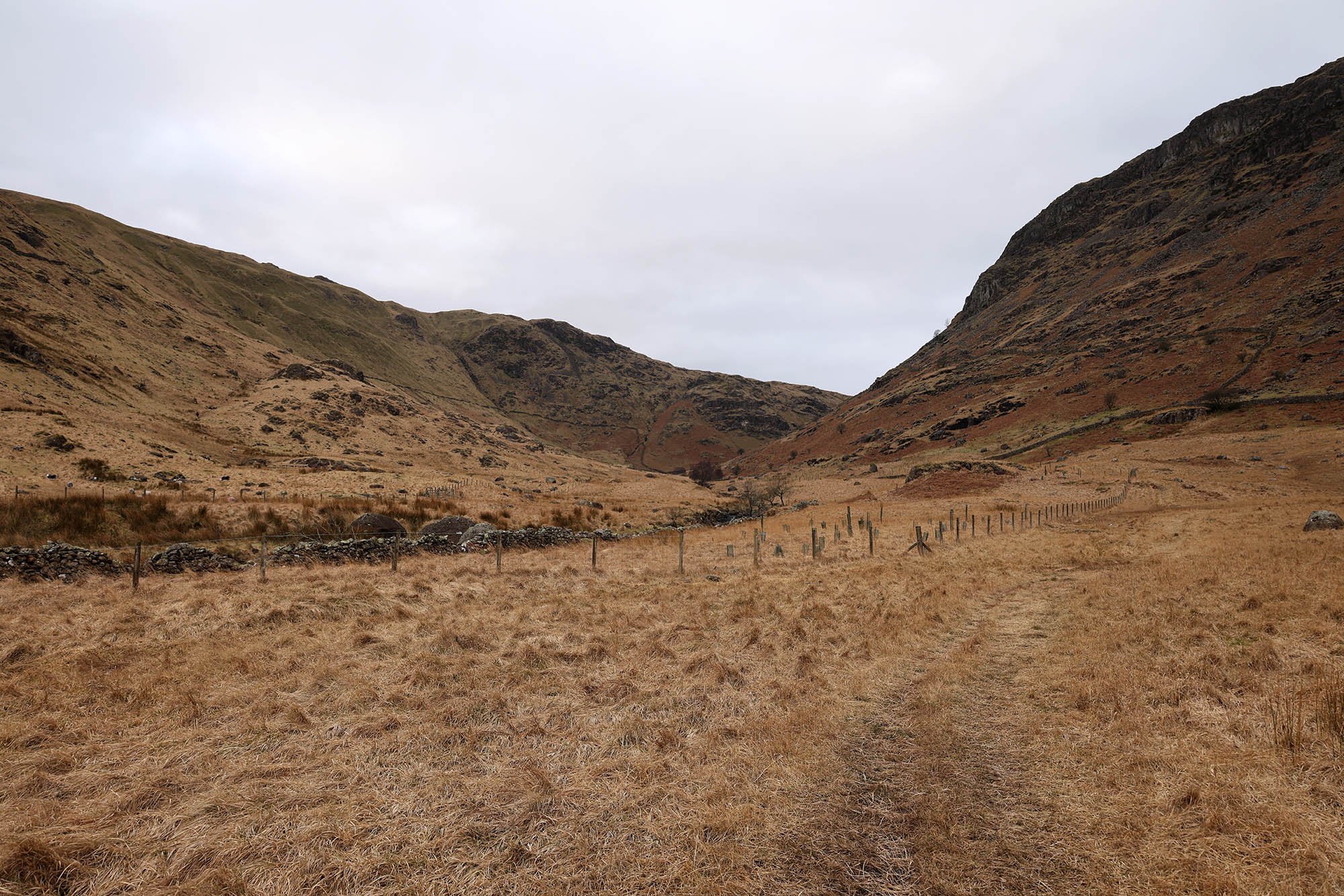
The view into Wythburn from close to the road. I followed the faint path up the valley.
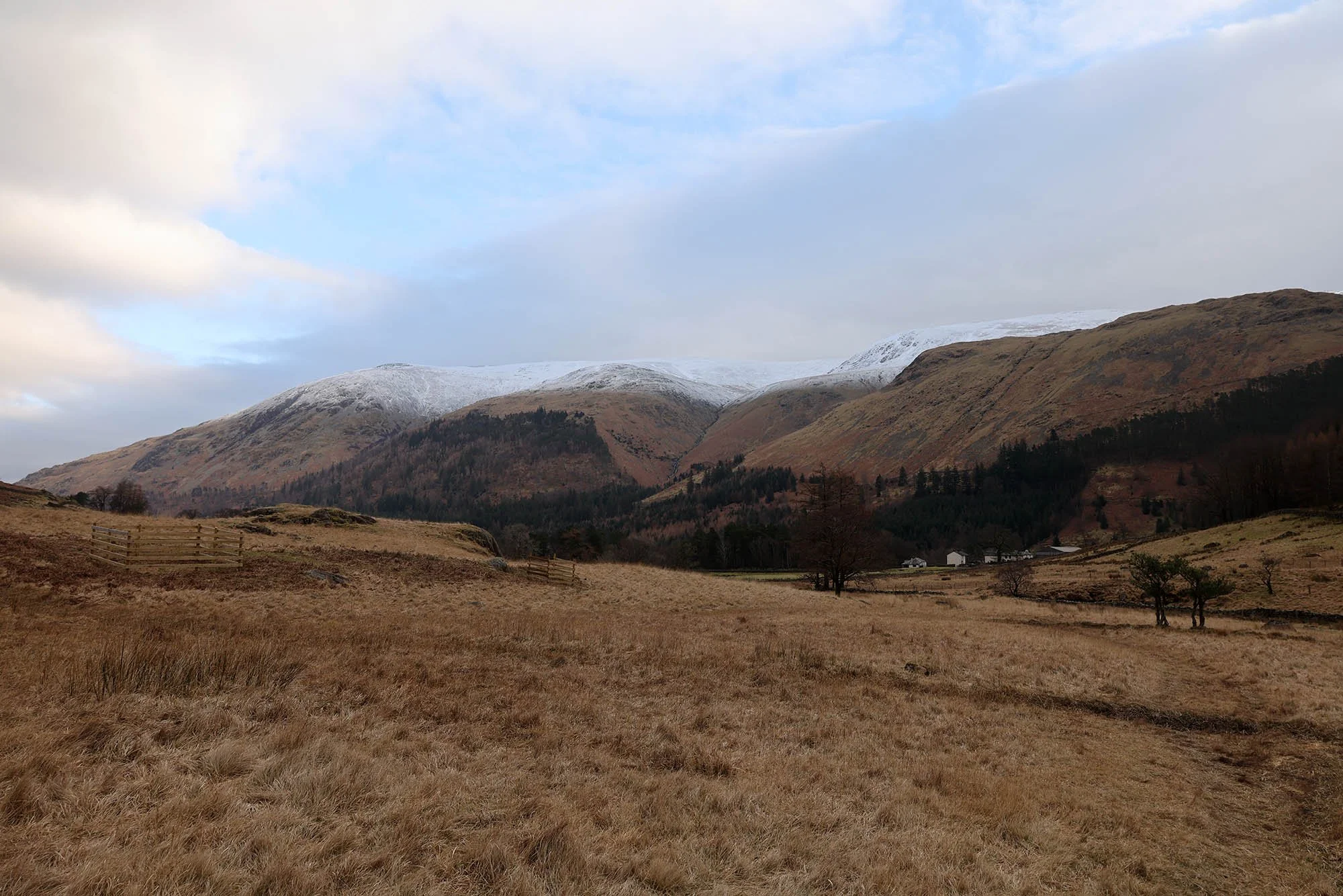
Looking back to Helvellyn and the last few houses that remain from Wythburn.
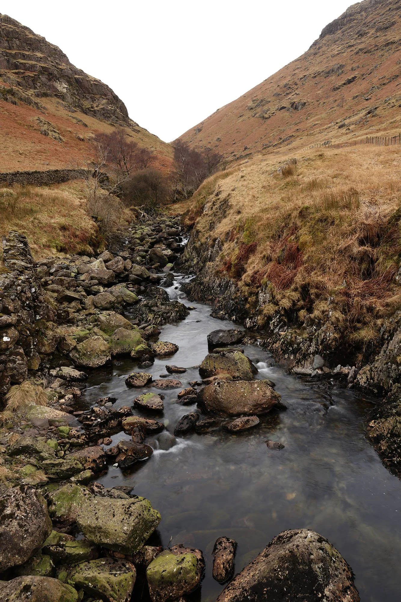
The beck of Wyth Burn with waterfalls up ahead. This is my first time ever in this valley!
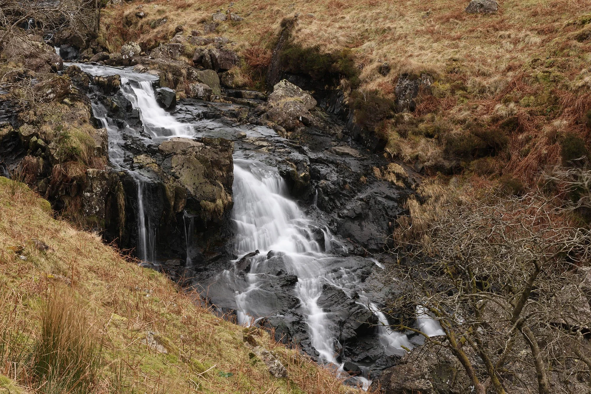
Wyth Burn Waterfalls.
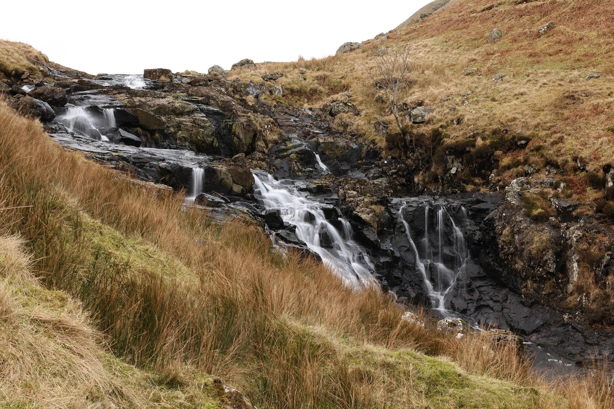
And more upstream.
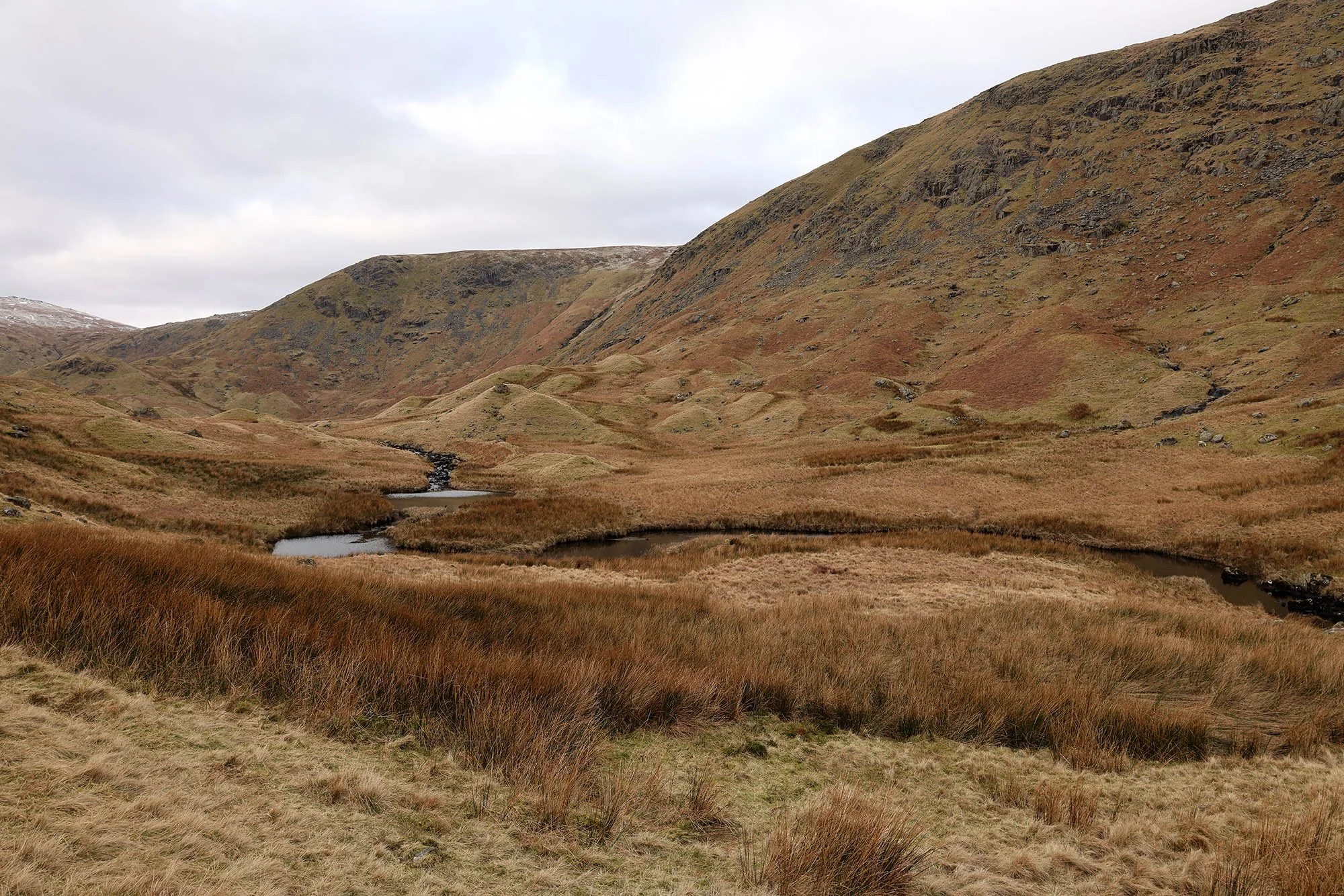
Wythburn Head Tarns.
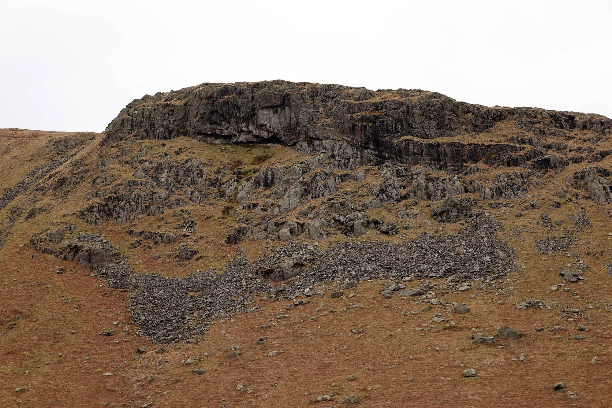
Castle Crags and what appears to be a cave.
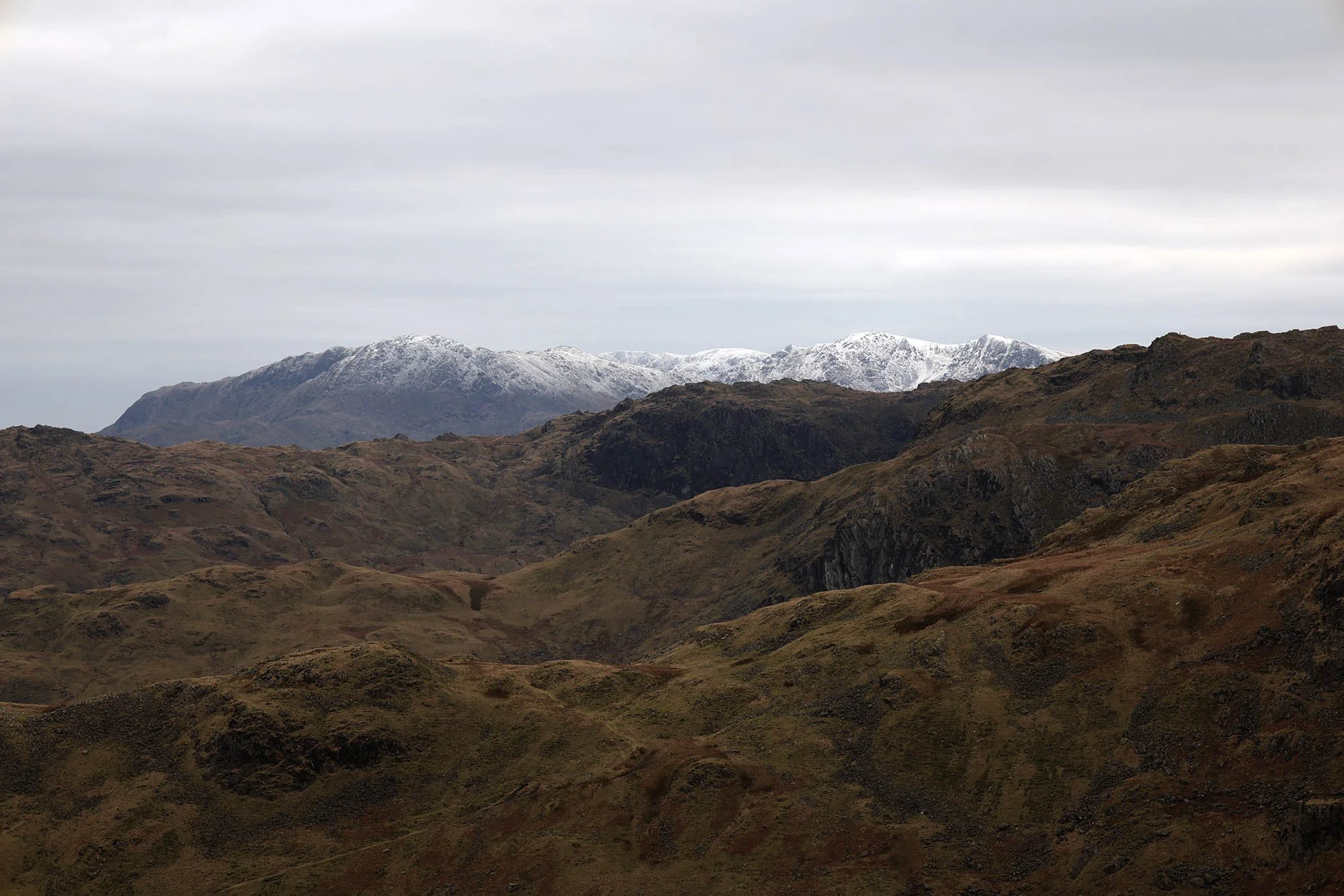
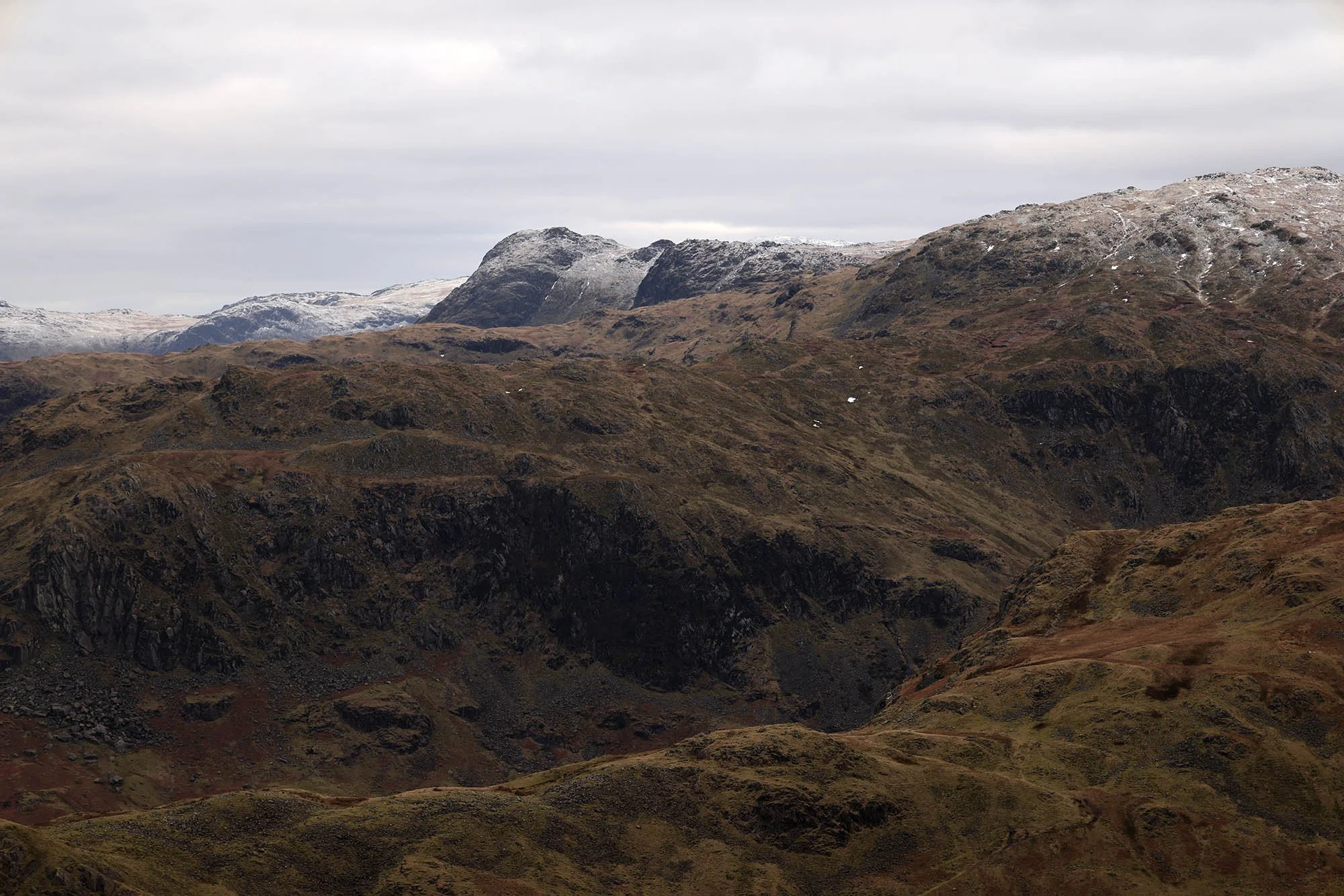
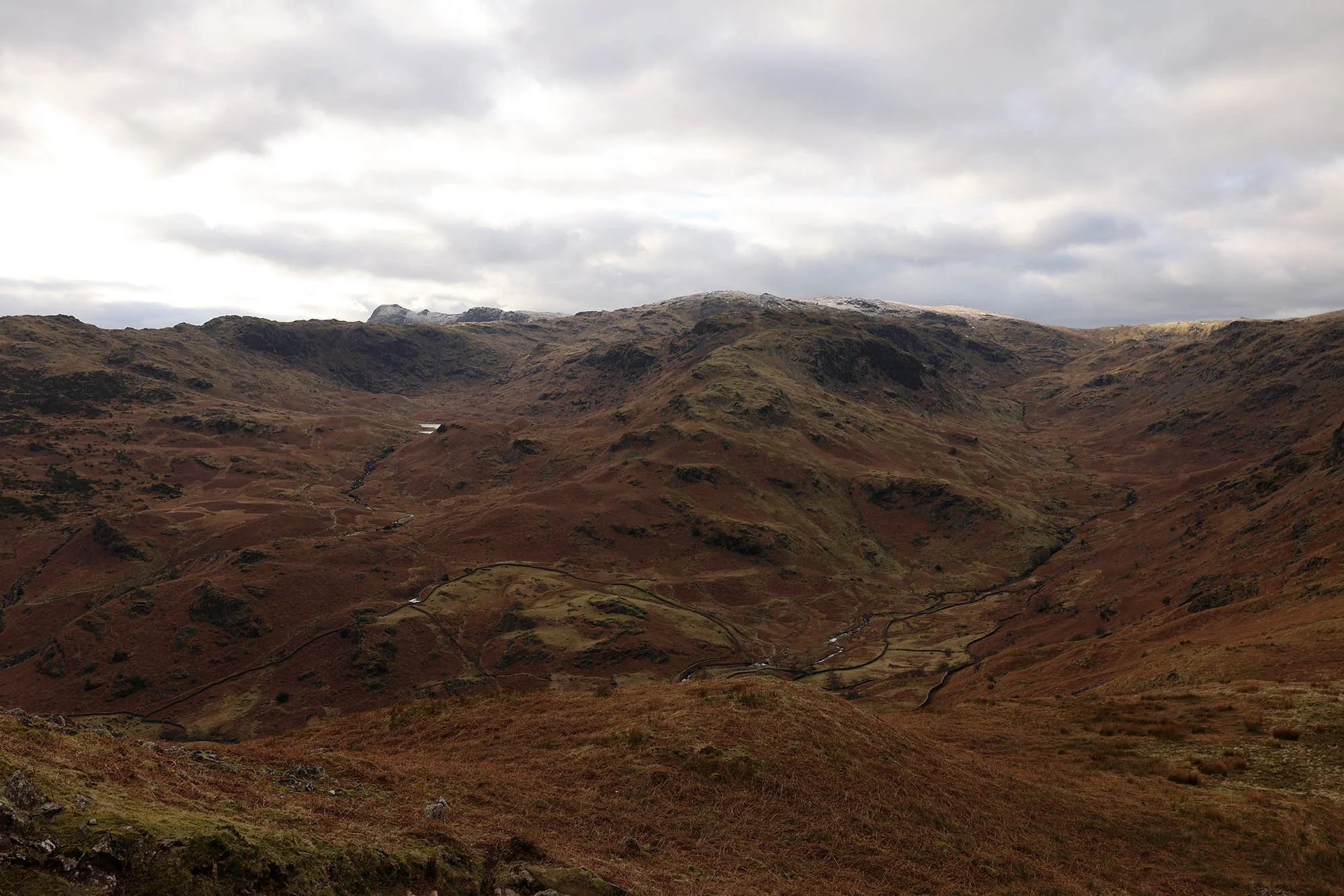
From the top of the ridge I could see across to the Coniston Fells.
The summit of Steel Fell looking North.

And here looking west to the Langdale Pikes.
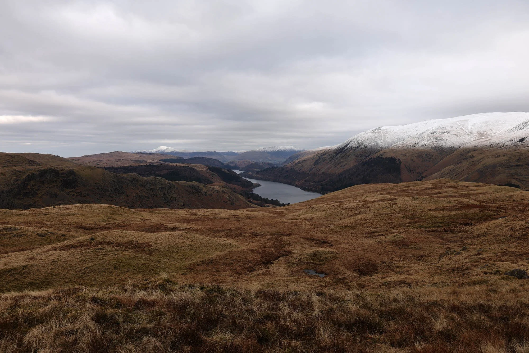
Thirlmere with Skiddaw and Blencathra beyond.
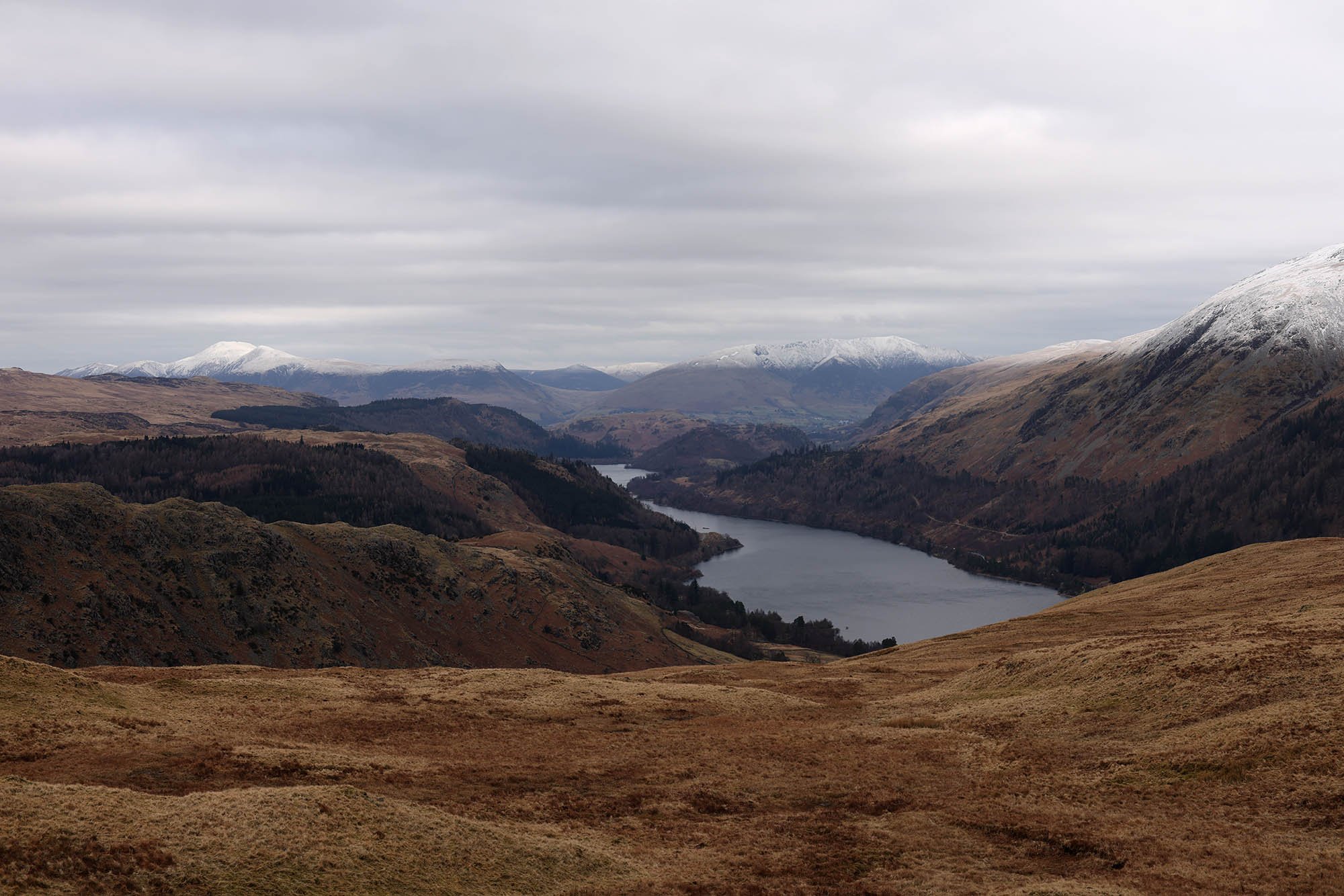
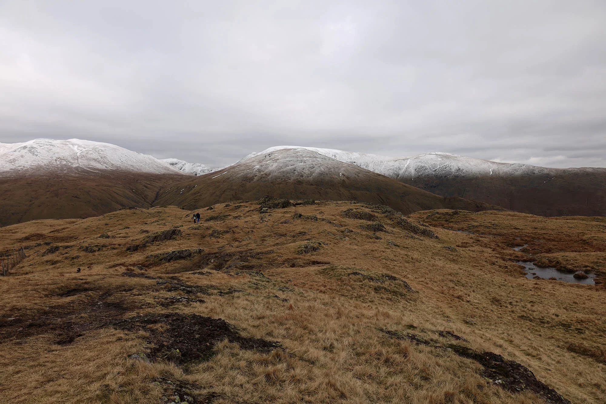
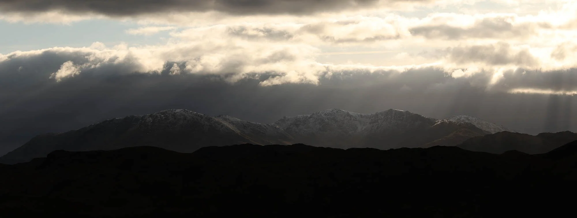
Helvellyn covered in a layer of snow.
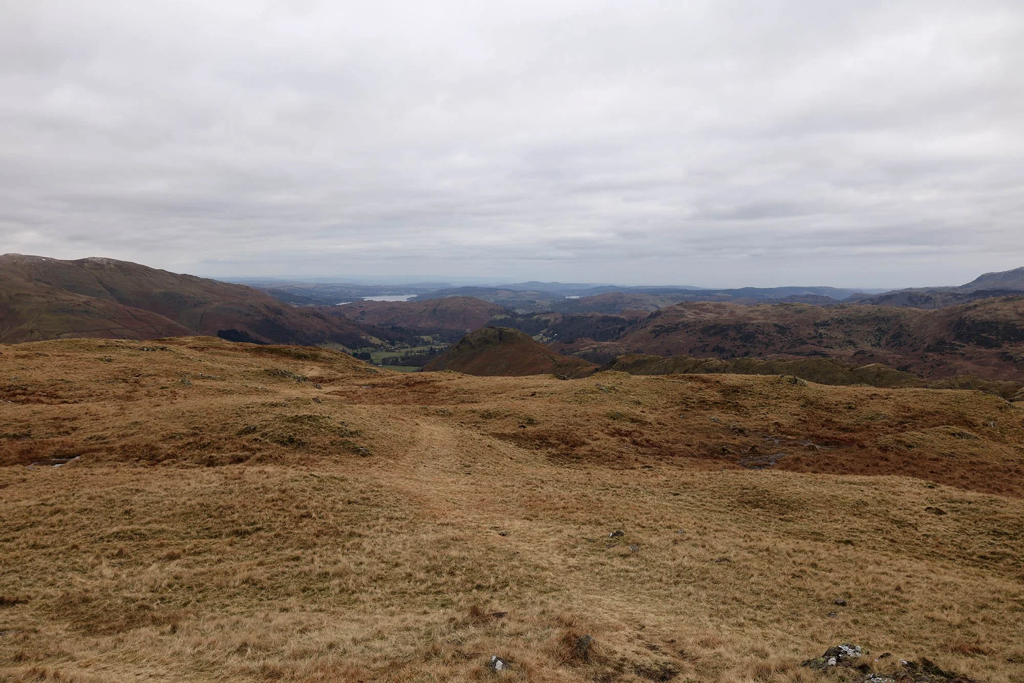
Looking south to Windermere.
Seat Sandal and Fairfield.
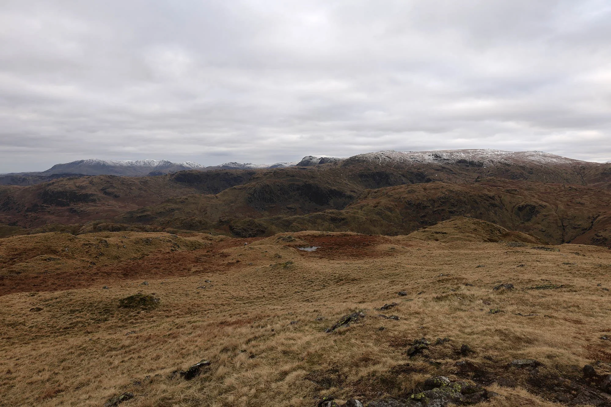
The Coniston Fells round to the the Langdales and High Raise.
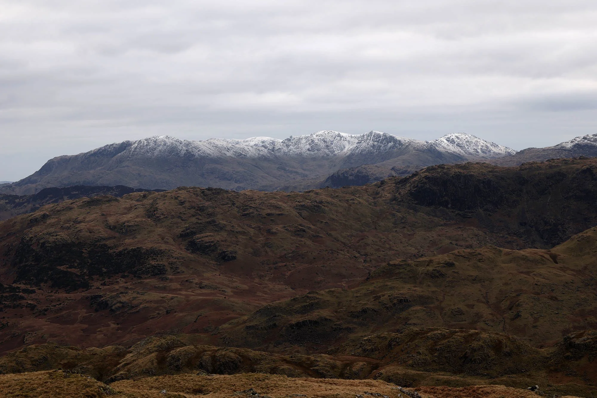
The Coniston Fells.
The Langdale Pikes.
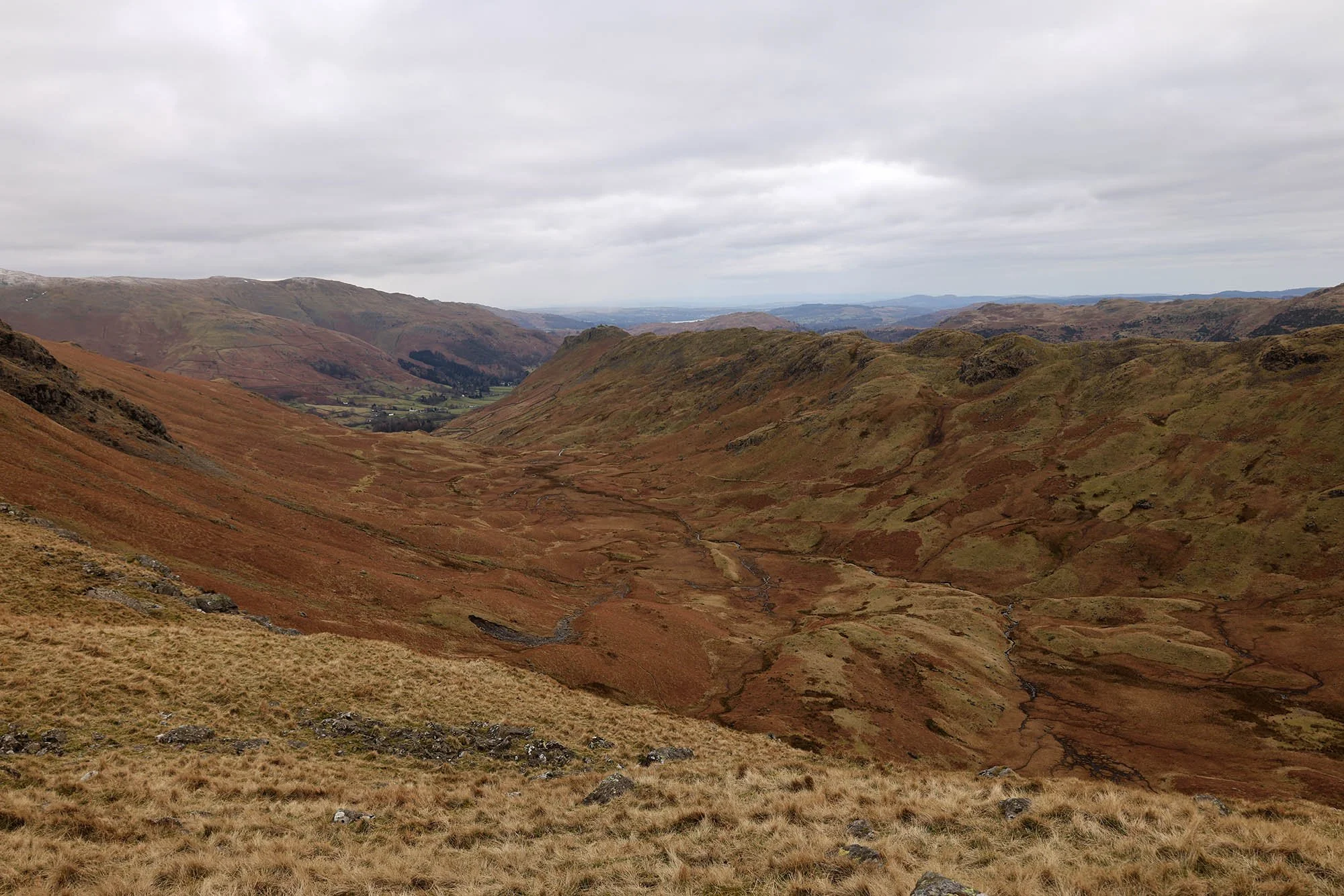
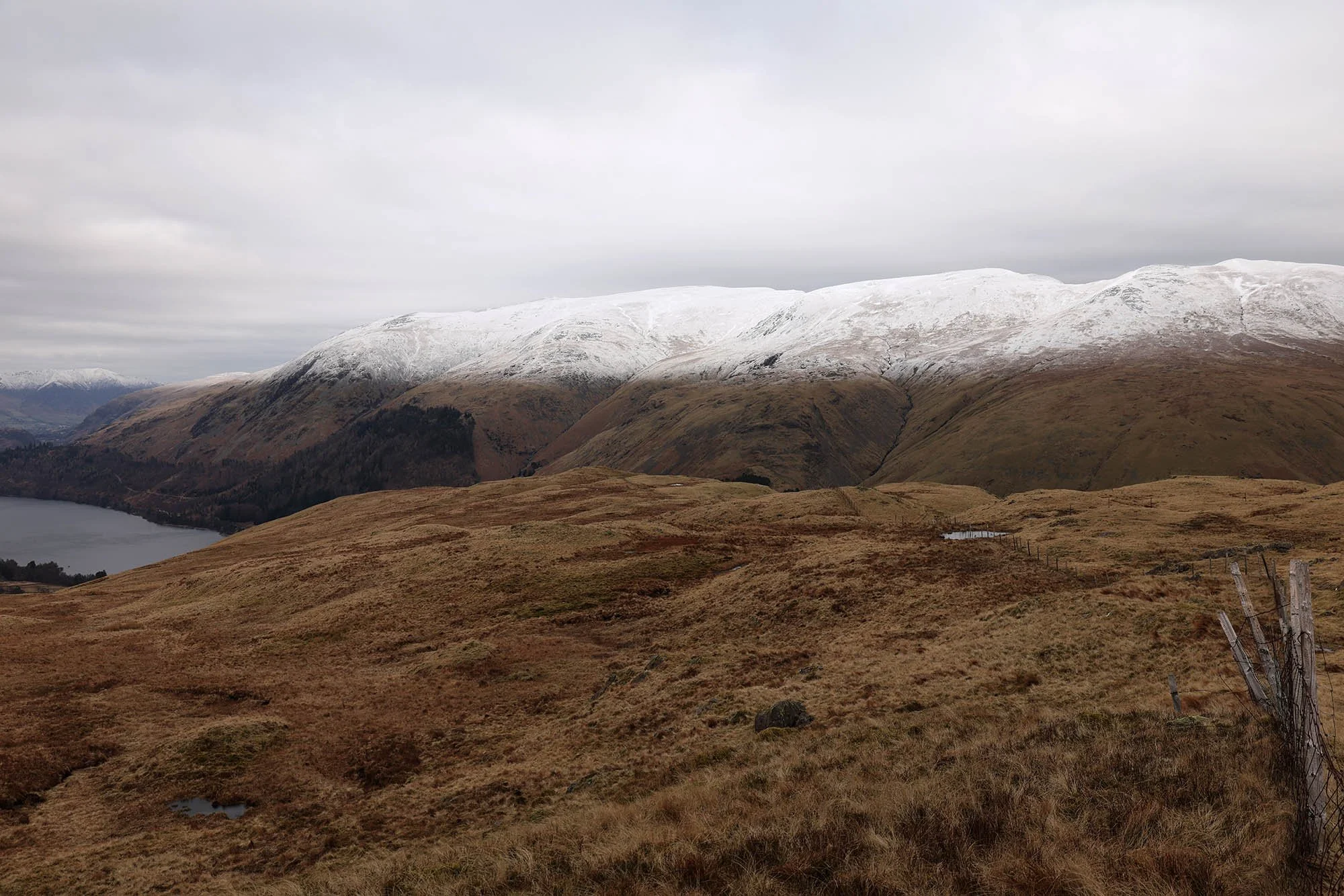
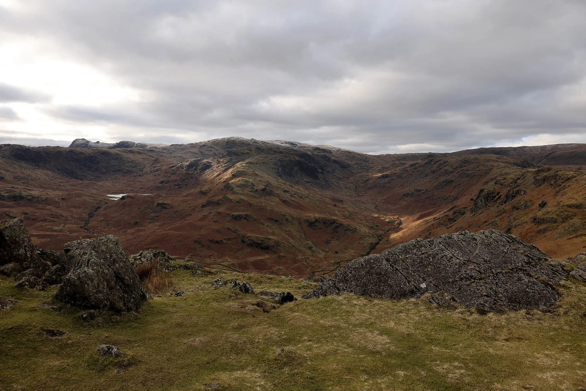
Greenburn Bottom.
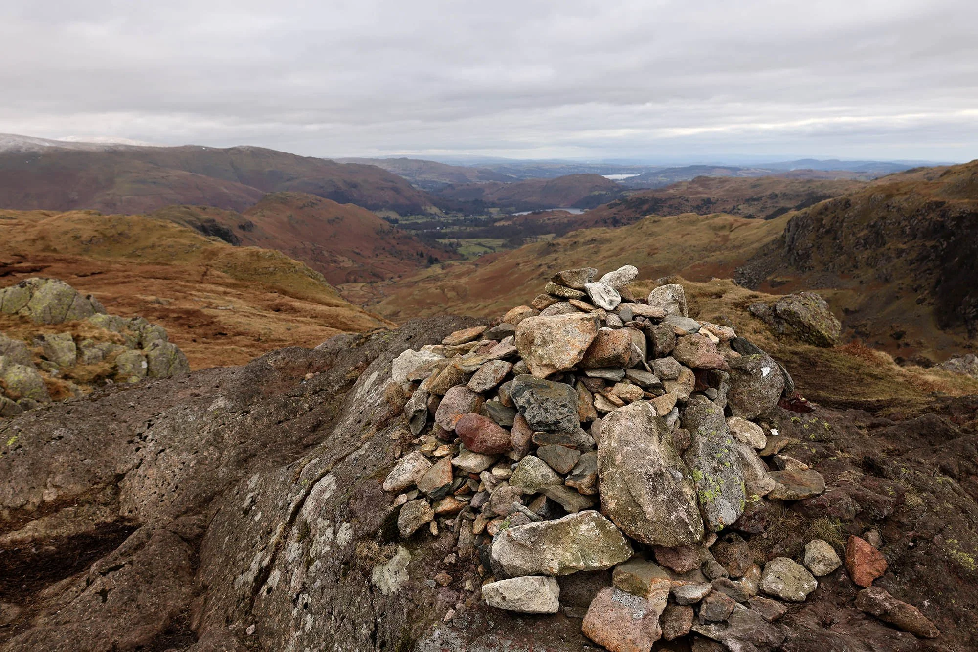
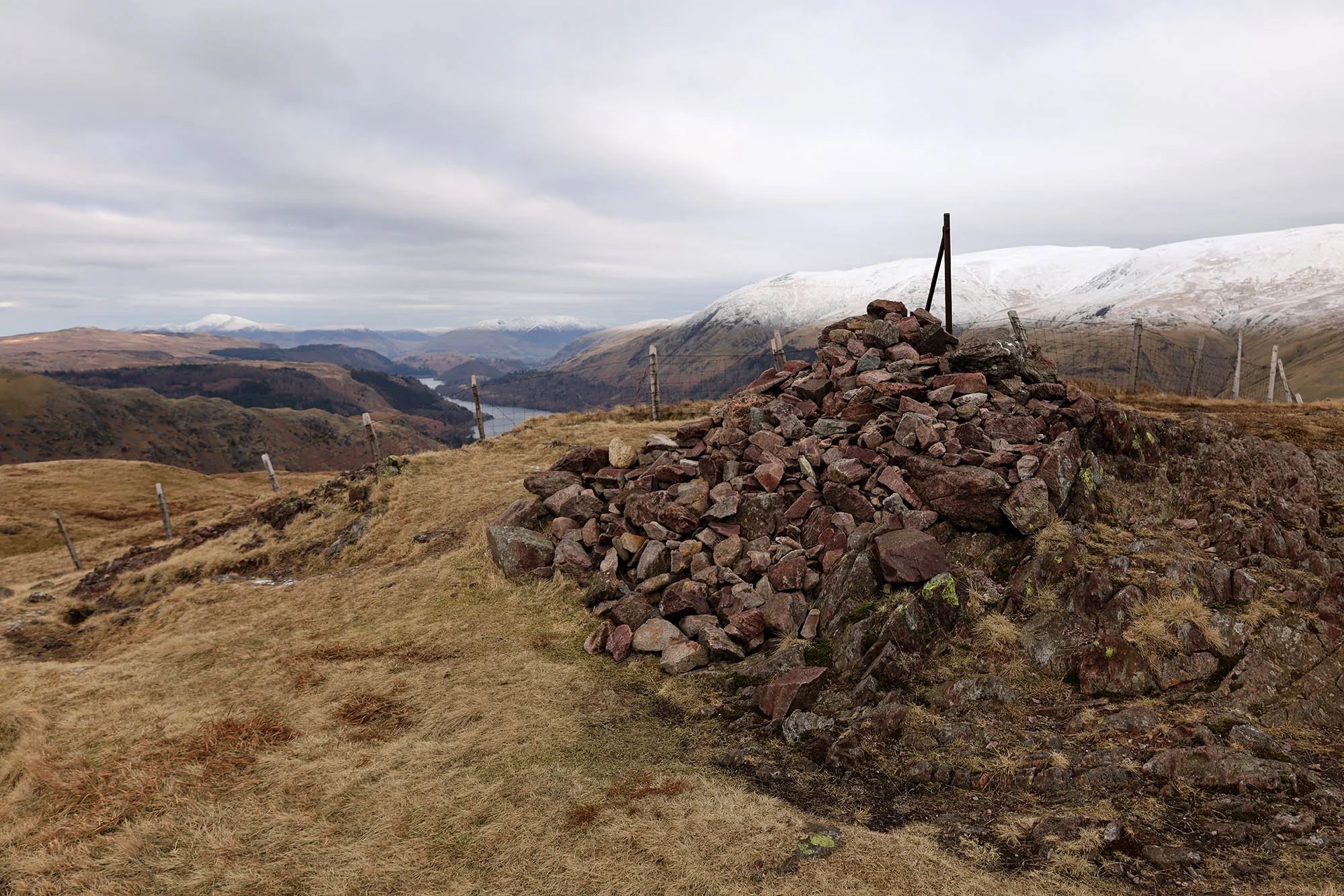
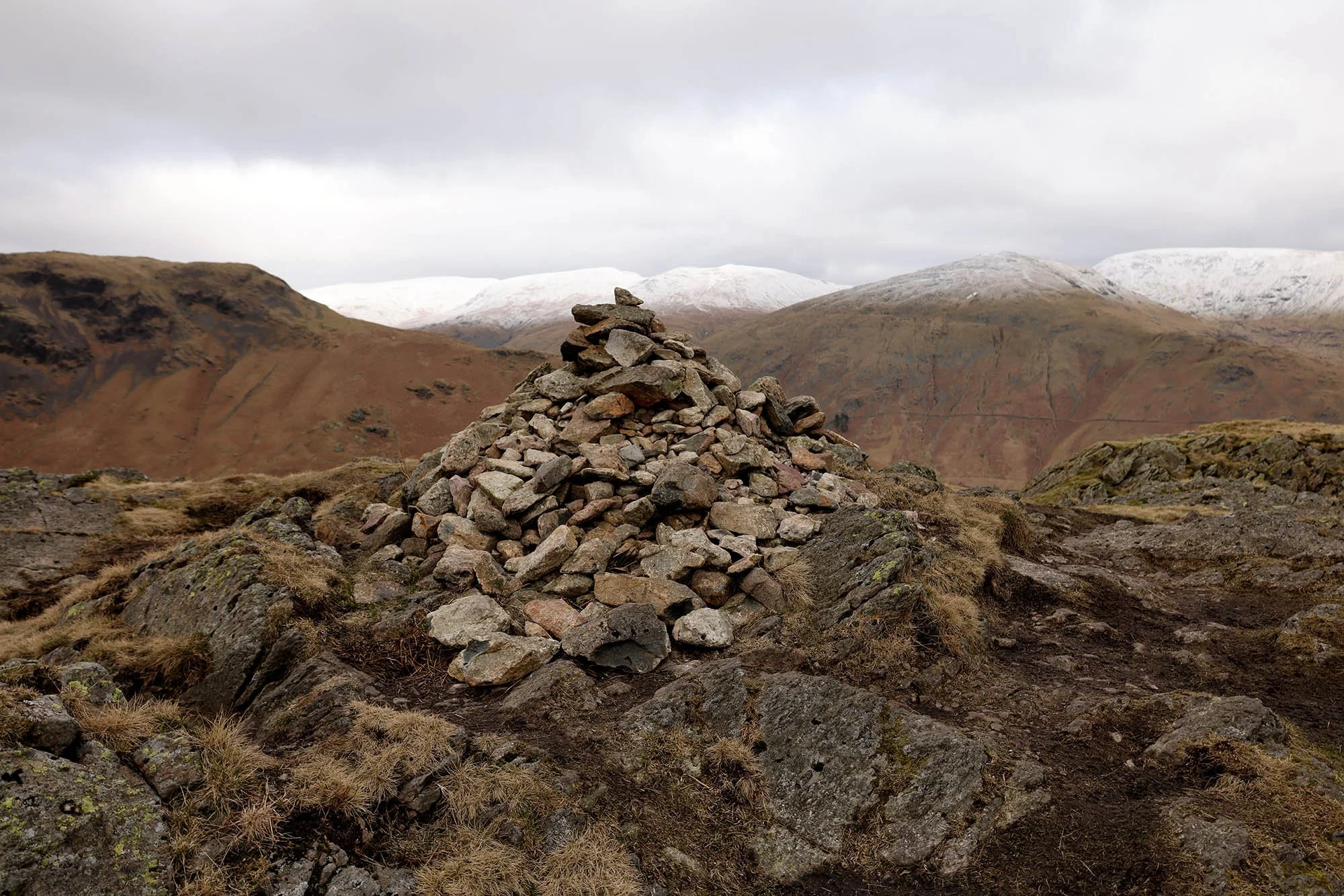
Calf Crag summit cairn.
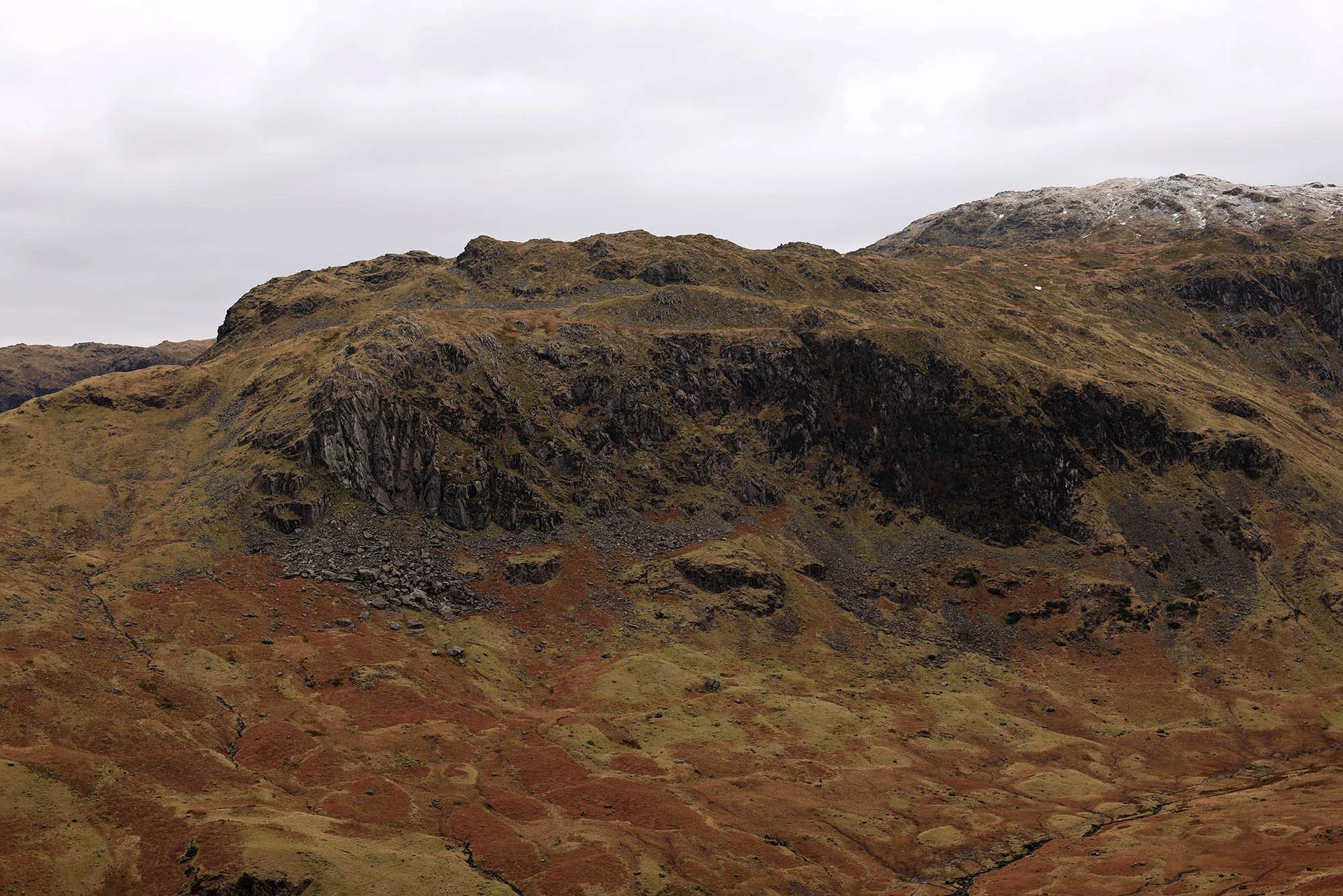
Deer Bields Crag.
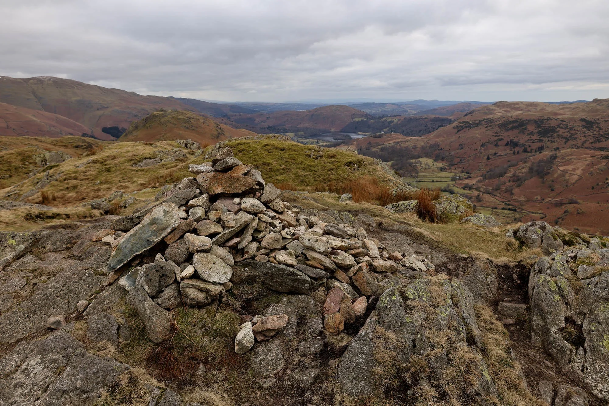
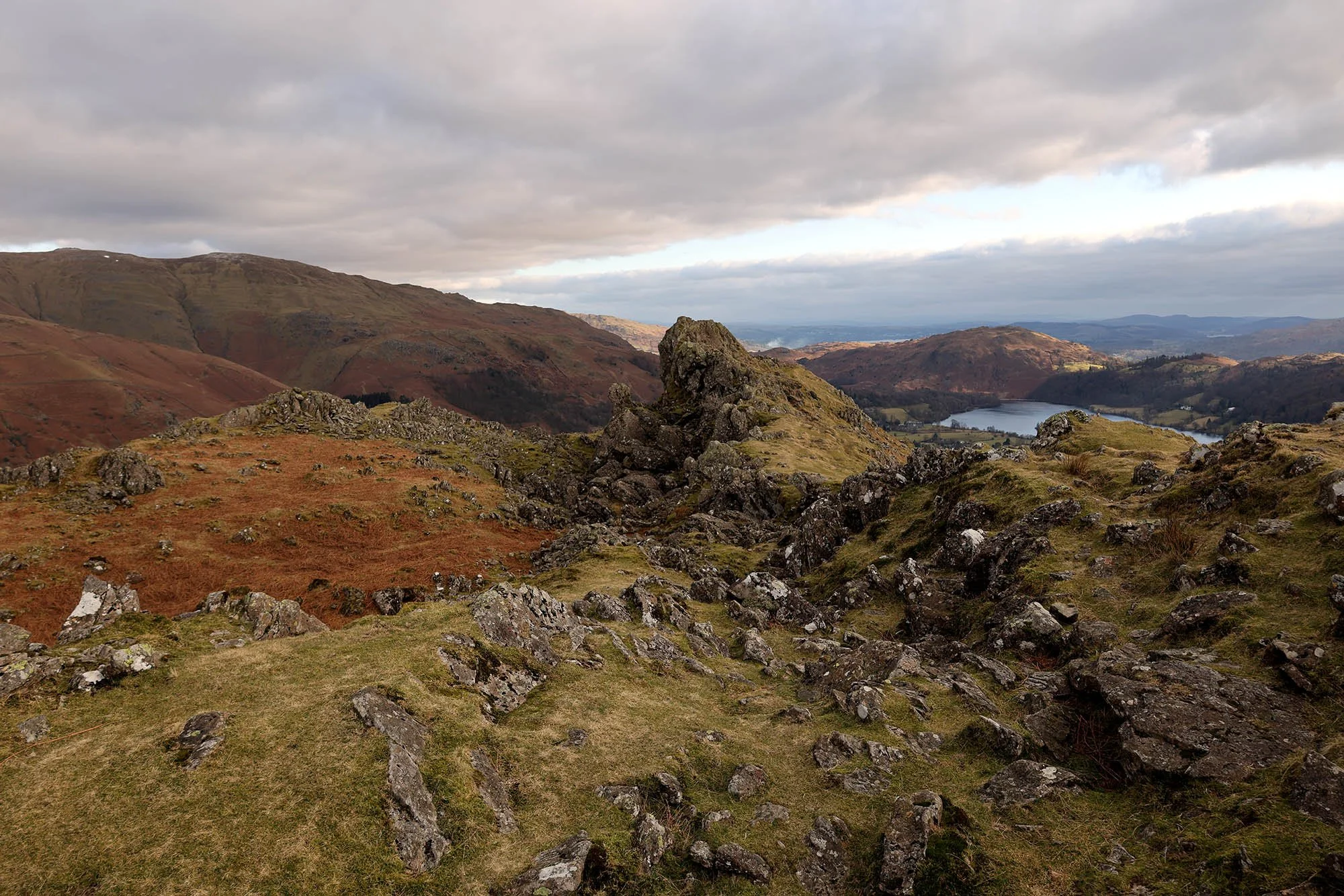
The summit of Gibson Knott.
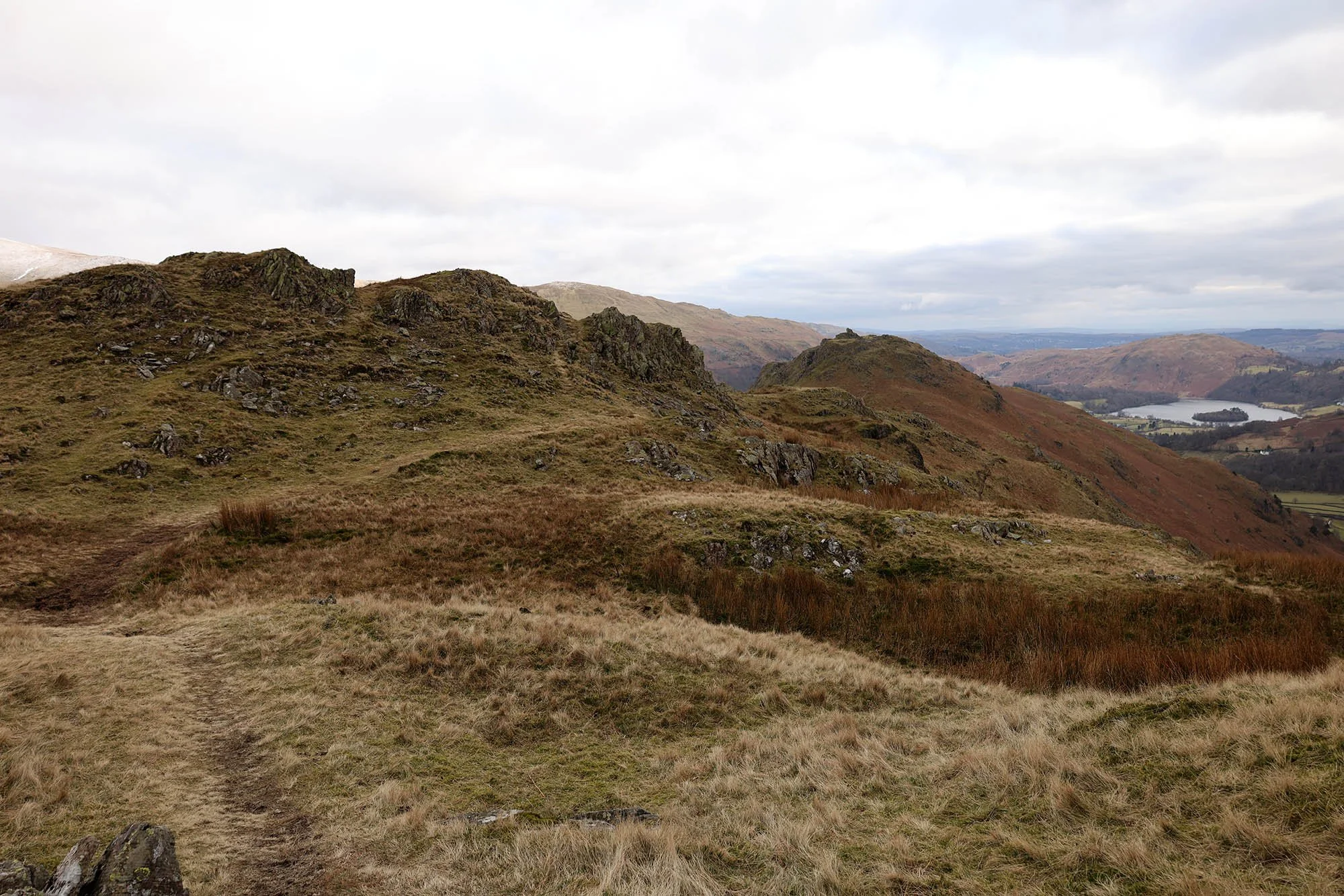
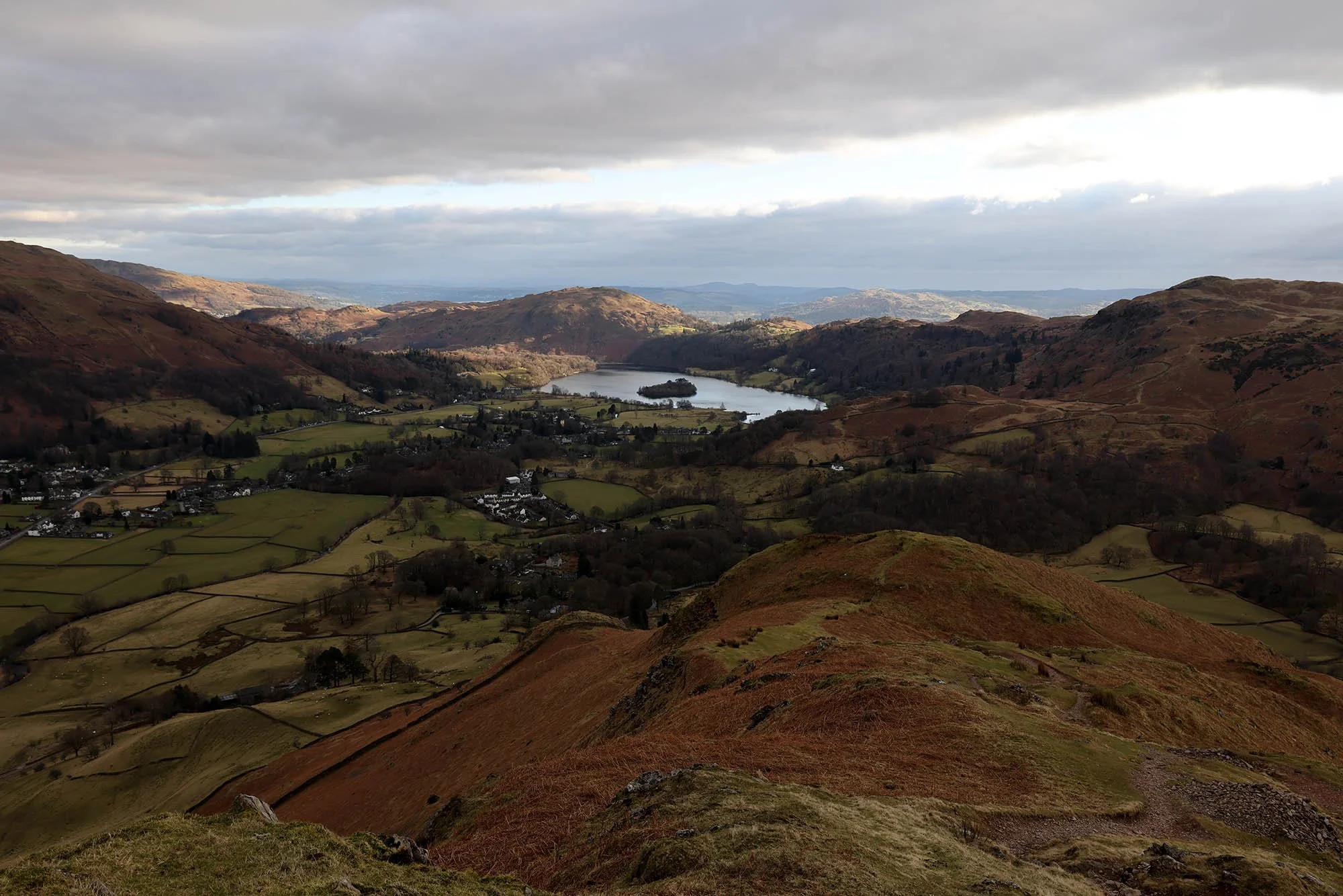
And here looking to Helm Crag and Grasmere.
Following the ridge…
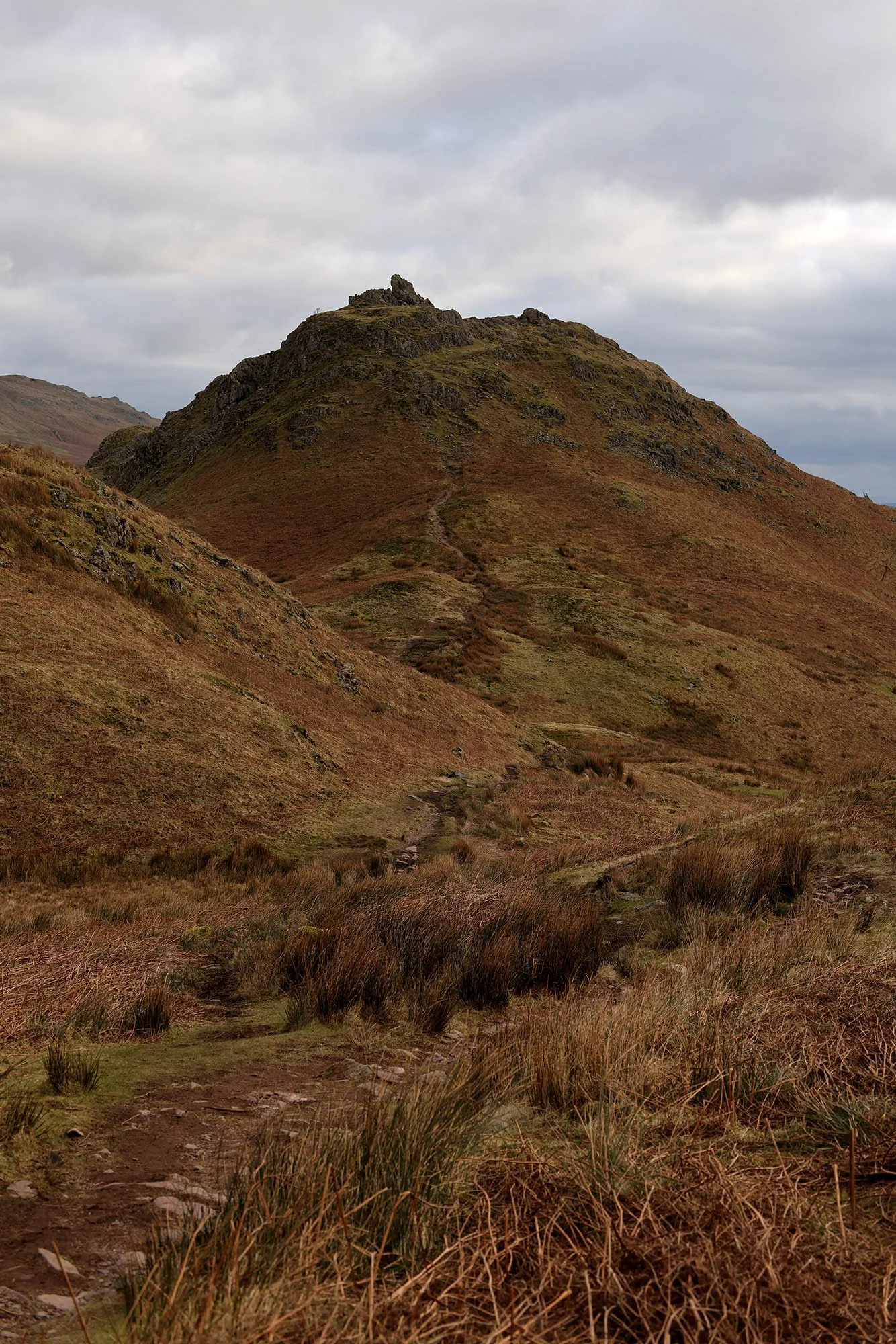
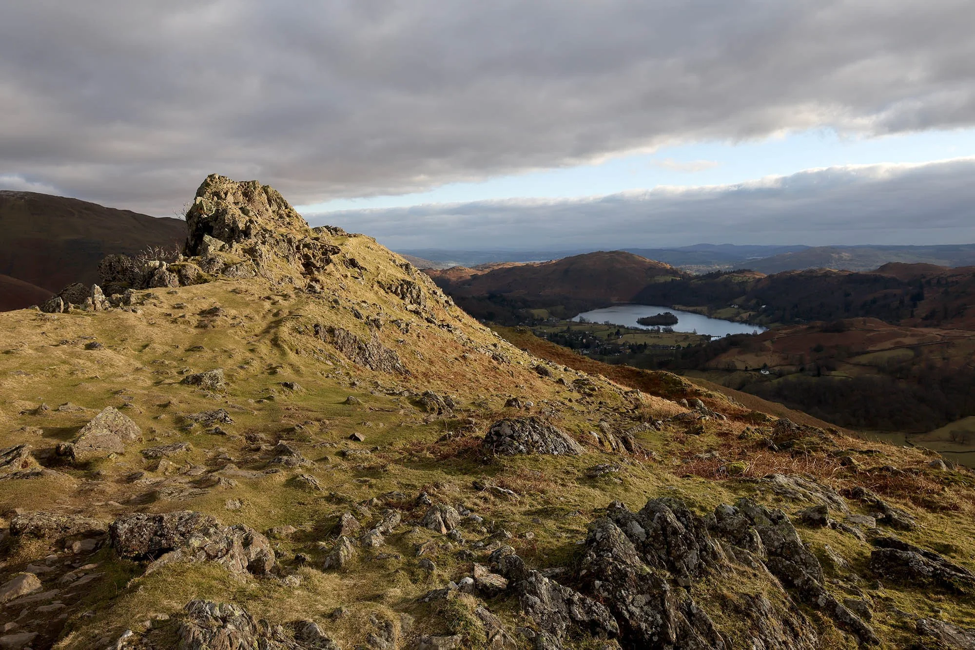
Helm Crag ahead.
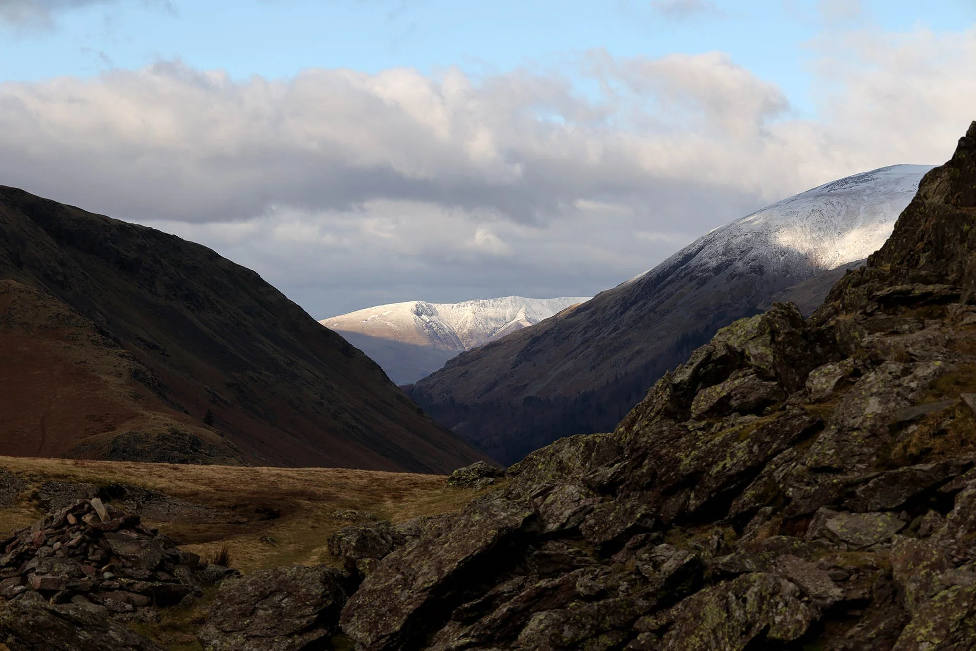
Looking back up Far Easedale.
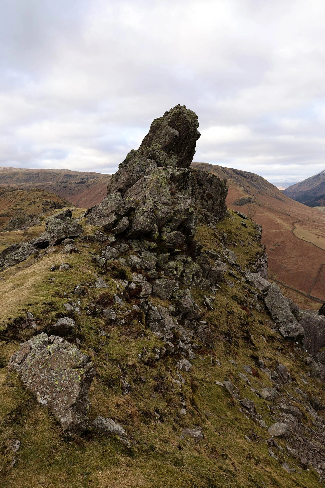
The Howitzer, the true summit of Helm Crag - time to head up there and back down.
Looking up the valley to Blencathra in the sunshine.
Glimpses of sunshine in Far Easedale.
The Lion and the Lamb.
Warming sunshine on the descent.
A stunning view for my descent.
And some dramatic views to the Coniston Fells too.