Weavers’ Way
Start: Cromer Pier, Norfolk
Finish: Great Yarmouth Train Station, Norfolk
Distance: 100km (62 Miles)
Duration: 4 - 6 Days

New 2024 Edition - Now includes 15 Extra Circular Walks that explore some of the best parts of the trail
Full Linear Route Directions
Maps showing the route, direction of travel, features and points of interest
Photos throughout the walk
15 circular walks taking in parts of the Weavers’ Way
Beginning on the pier at the Victorian seaside town of Cromer, the Weavers’ Way completes an interesting route back to the North Sea at Great Yarmouth. The opening 25 miles covers the vast open countryside of North Norfolk, passing through the stunning Felbrigg and Blickling Hall Estates before joining the line of the old railway which once connected Aylsham to North Walsham. Beyond North Walsham the Way enters the Broads National Park at Honing and rejoins the old railway line into the town of Stalham which provides the opportunity to top up on supplies or take a rest day. The lovely village of Hickling is then passed, followed by the largest broad in Norfolk; Hickling Broad before arriving in Potter Heigham. The River Thurne is joined with the Way following the riverbank path to pick up the River Bure near Acle. From here the final day weaves through grazing marshland to Breydon Water, a vast open tidal estuary that is home to thousands of wading birds. The Weavers’ Way joins the estuary wall path along the full length of Breydon Water to finally reach Great Yarmouth and the end of this lovely trail.
Paperback | Page Count: 103
Part 1: Cromer to Erpingham

The trailhead is just at Cromer Pier with a marker post pointing to Great Yarmouth 61 Miles.


Heading through meadows as I leave Cromer behind.
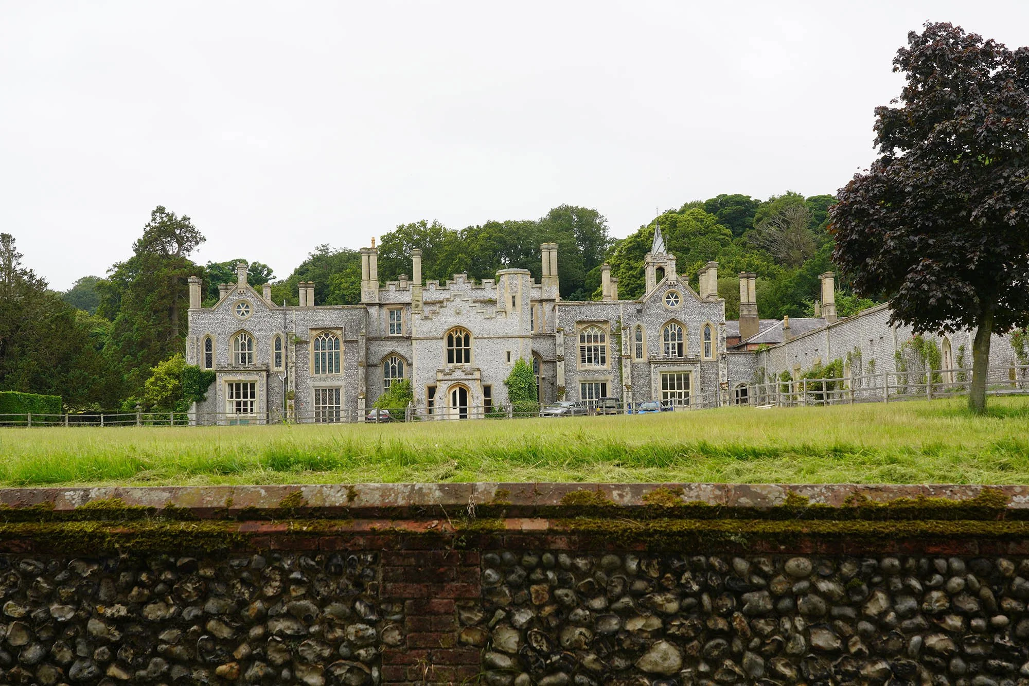
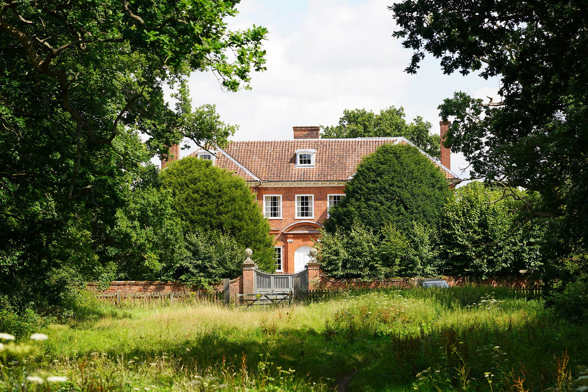
Cromer Hall.

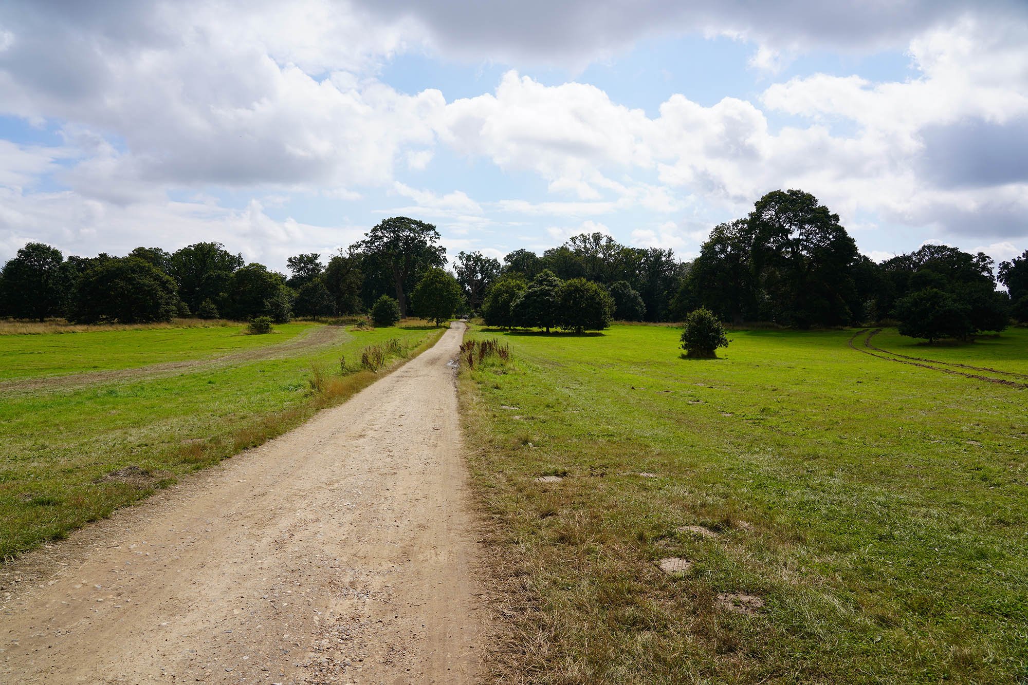
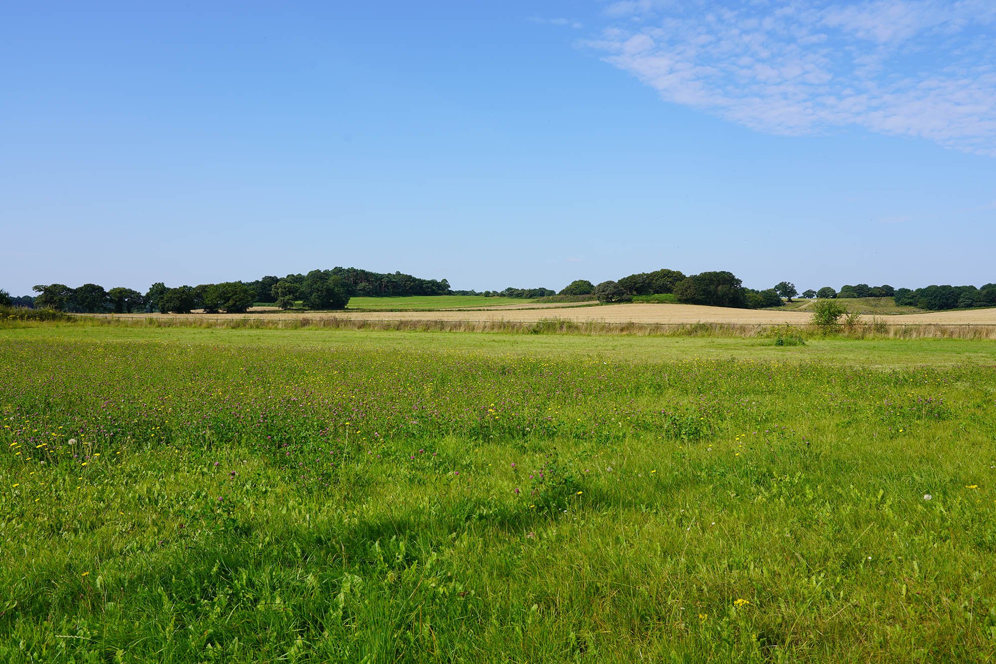
Gently undulating landscape of North Norfolk.

Arriving at Felbrigg Hall.
The trail heads through the National Trust estate.
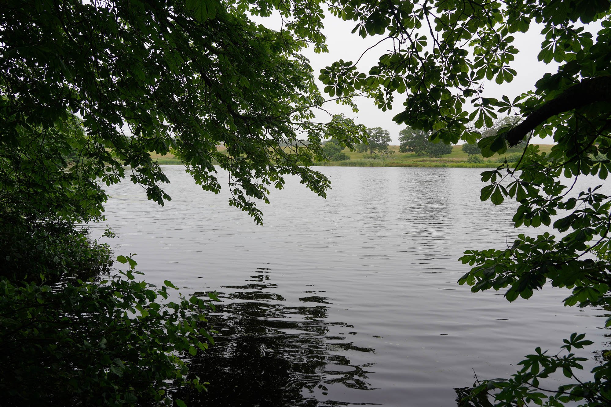
Down by the lakeshore.

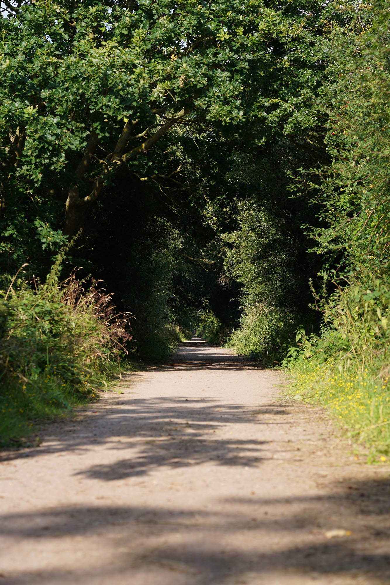
Following the signs through the woodlands and out of the estate.

Sustead Church.

The village sign in Sustead.

Hanworth Common.

Close to arriving at Erpingham.
Aldborough.


Thwaite Church just near Town Green.
Part 2: Erpingham to North Walsham

Leaving Erpingham by the Spread Eagle pub.

Meadows and fields as I leave Erpingham.


Crossing the River Bure just before Blickling Estate.


The lake at Blickling.

Looking across the lake to Blickling Hall.
Heading through the estate towards the entrance to the hall.

Stunning cottages in Blicking.
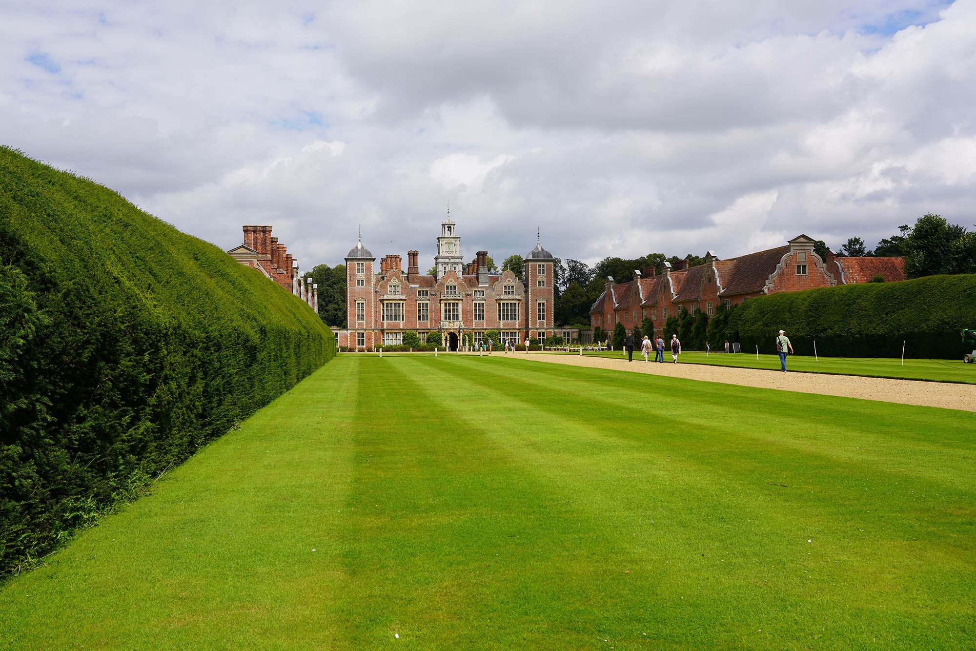
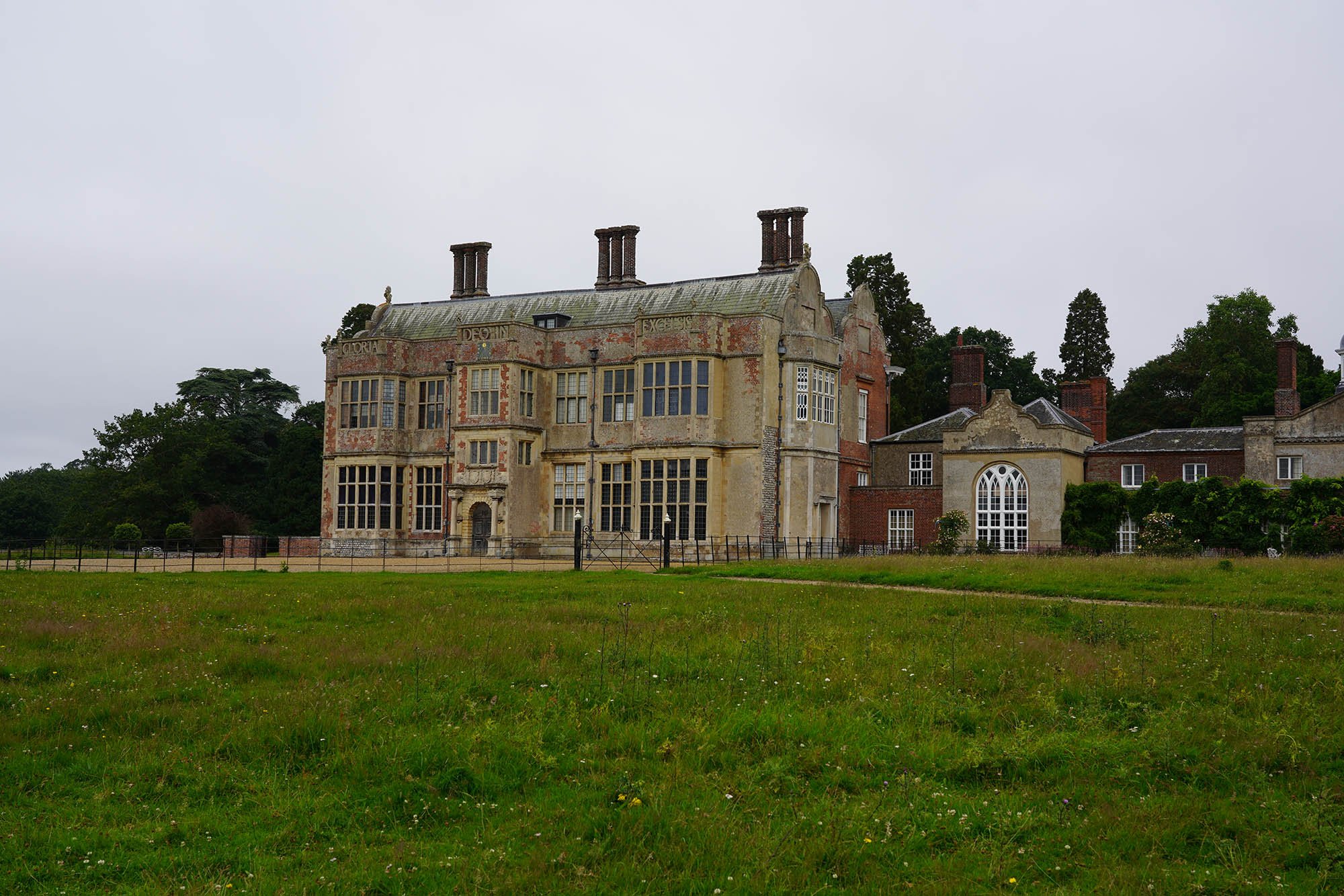
Blickling Hall.

One of the great Elizabethan houses in Norfolk.

Blickling church just by the hall entrance.
Little Hall.

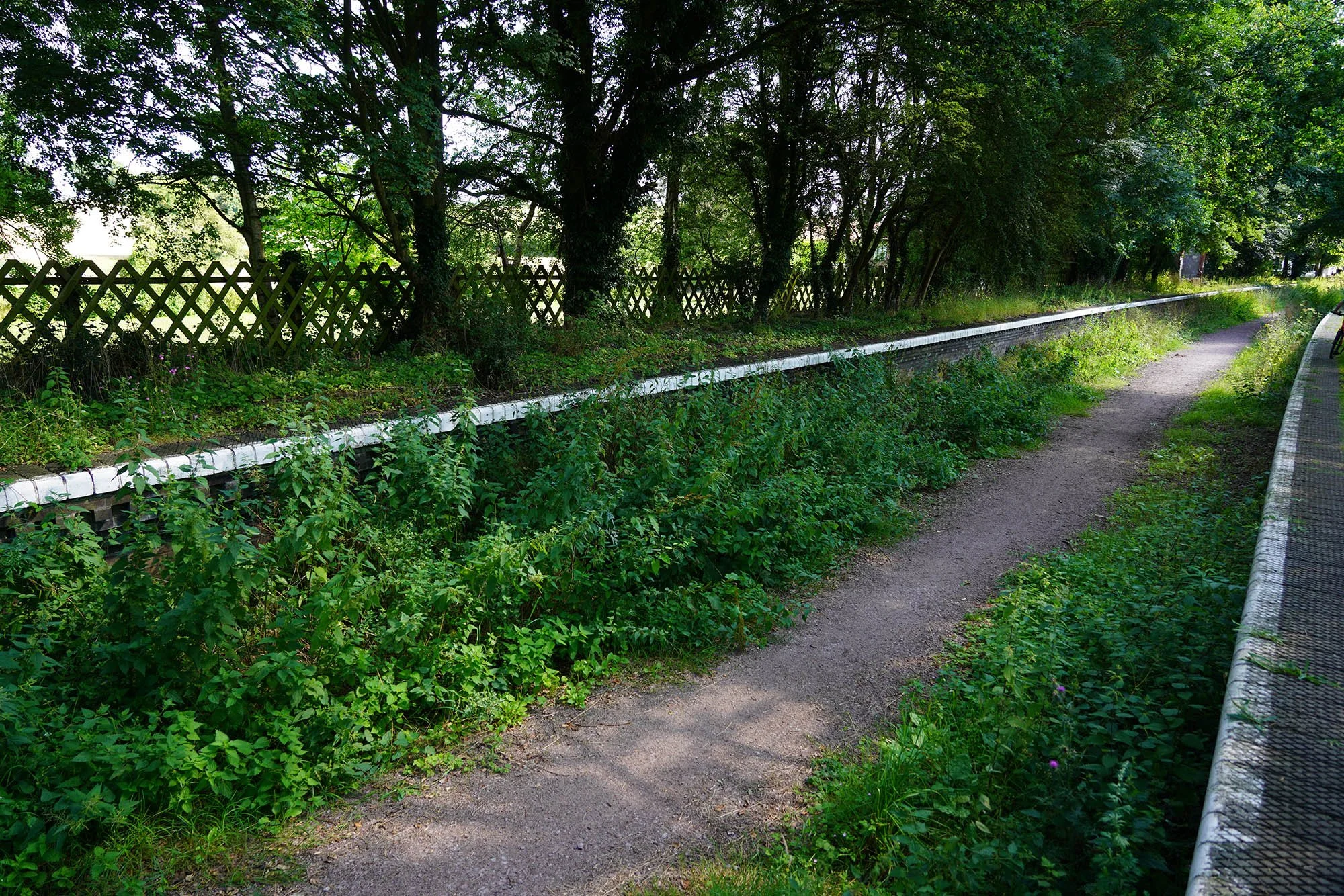
Now joining the old railway line from Aylsham to North Walsham.

Crossing the River Bure again.

The railway line to North Walsham.
Part 3: North Walsham to Stalham

Lovely views alongside the trail.

Meeting House Hill.
Passing through Honing Station.

Ruins along the platform.


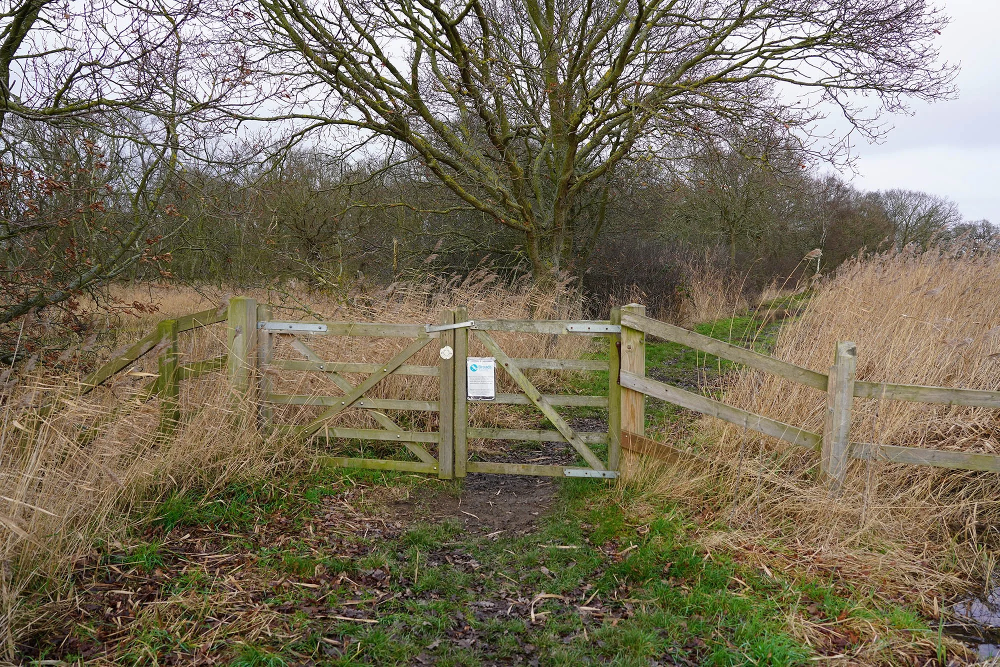
Taking a tiny detour off the trail to visit the lock at Honing.


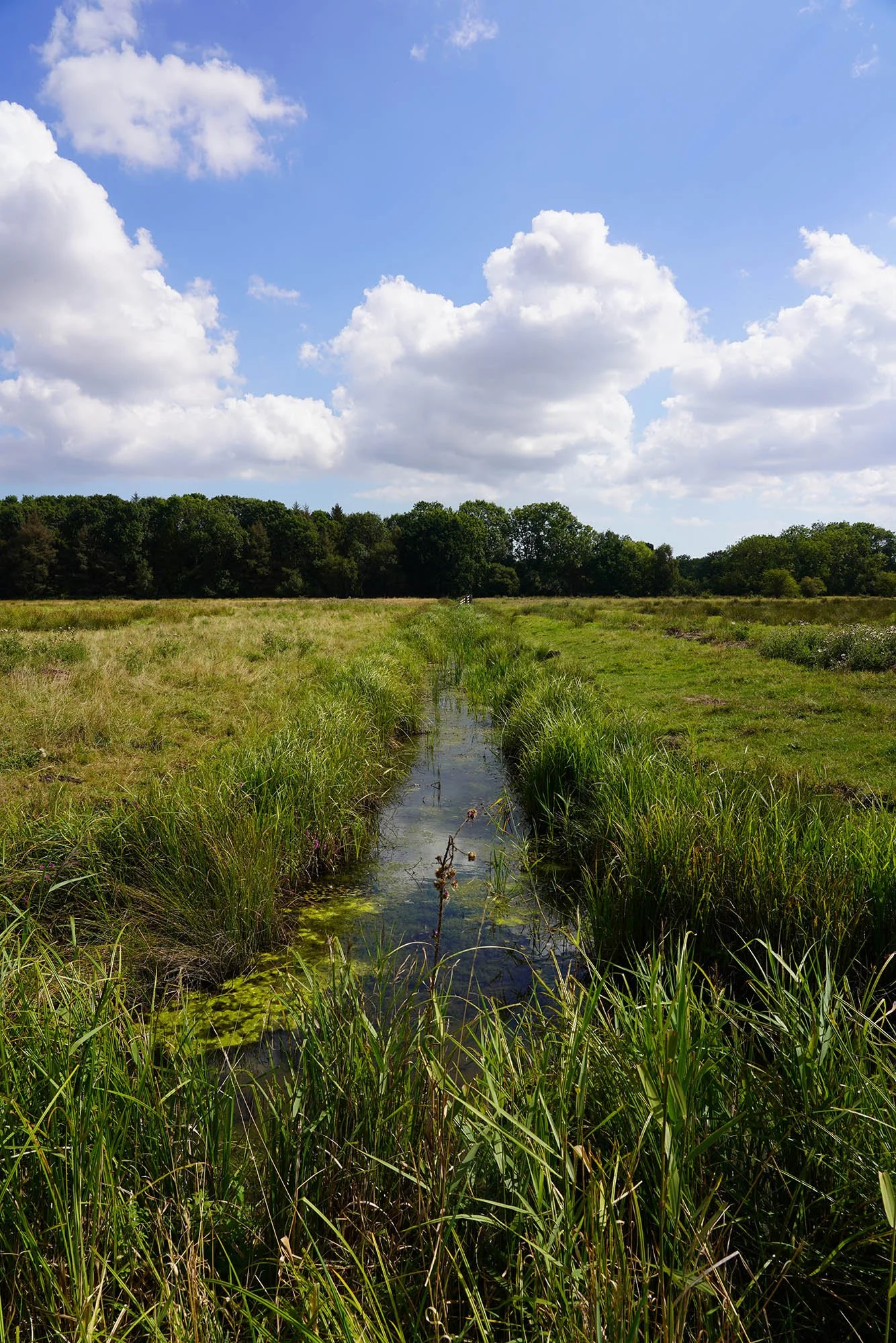
Open grazing marsh along the Weavers Way.

Its so hot by this point - touching 30C so time to stop soon.
Part 4: Stalham to Thurne

Its been a few months since I've been on the trail and today I headed out from Stalham to Thurne but hit by lots of flooding. This view looks over Rush Hill, a part of Hickling Broad.
Leaving the wooded section which required wellies to get through! The water was over 6 inches deep.

Down at Candle Dyke.

Martham drainage mill.
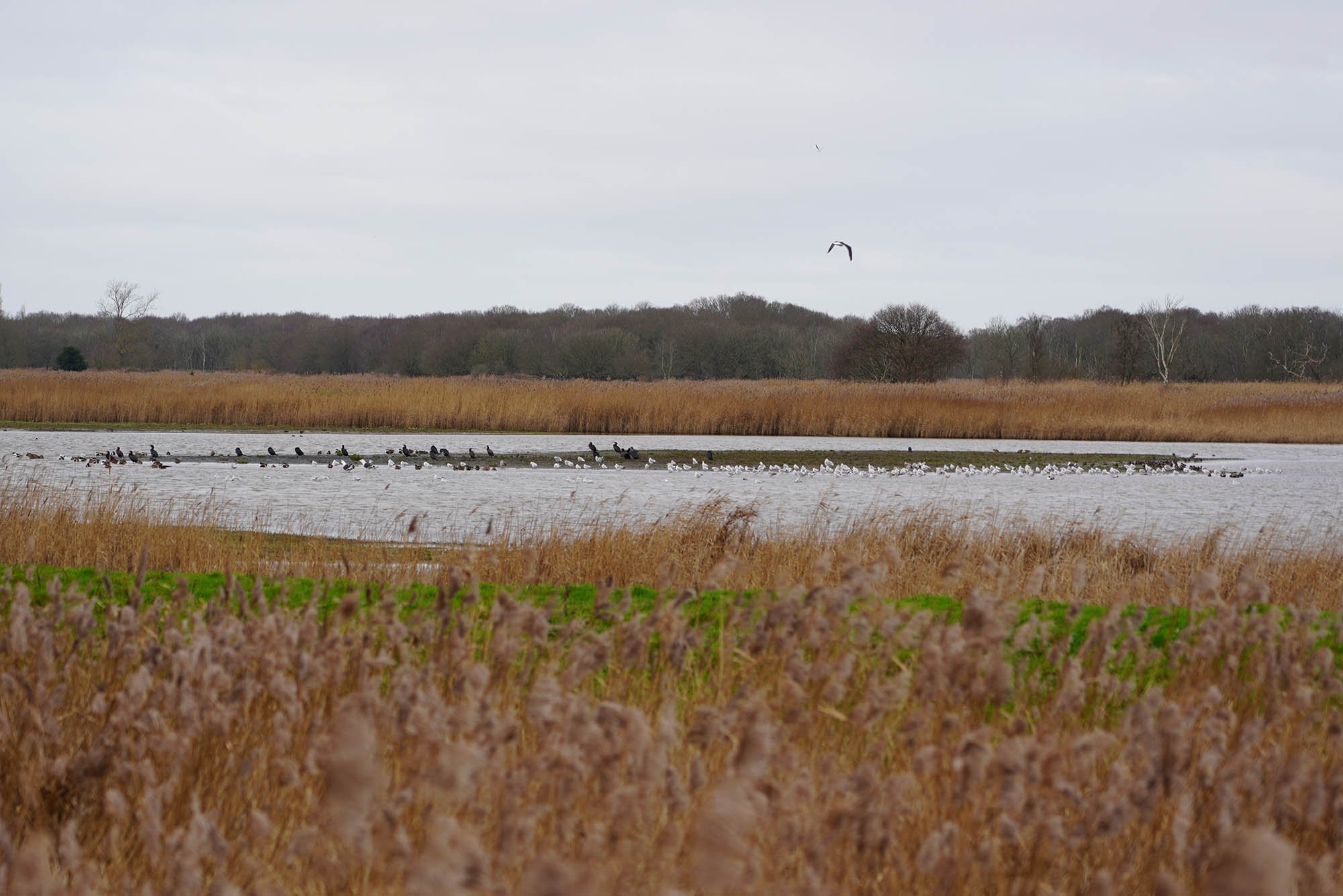
Lots of bird life at Potter Heigham Marshes.

Flooding along the riverbank.

High's Drainage Mill.

Flooded riverside properties.

Potter Heigham Bridge.

Repps Drainage Mill.

Some sunshine as we follow the River Thurne past Ludham.

Following the riverbank path.

Evening down at Thurne Mill.
Part 5: Thurne to Halvergate

A lovely sunny day today and much dryer than the last day of the Weavers Way. Its been about 6 months again and now in summer!

Thurne Dyke.

Thurne Church.

The view to the river as I leave Thurne.

Oby dyke.

Following the River Bure with a view to Upton Drainage Mill.

The River Bure.

Upton Drainage Mill.

Oby Drainage Mill.

Oby Drainage Mill.

Upton Dyke.

Clippesby Drainage Mill.

River Bure leading to Acle Bridge.

Acle Bridge.

The Bridge Inn - Perfectly located for a lunch stop!
Crossing grazing marsh near Damgate.

Arriving at the ruined Tunstall Church.

Tunstall Church.

Last section into Halvergate.
Part 6: Halvergate to Great Yarmouth

Highland Cow grazing in the marsh outside Halvergate.

Repair works to Muttons Drainage Mill.

Stones Drainage Mill.

Lots of crossing of grazing fields through the marshes.

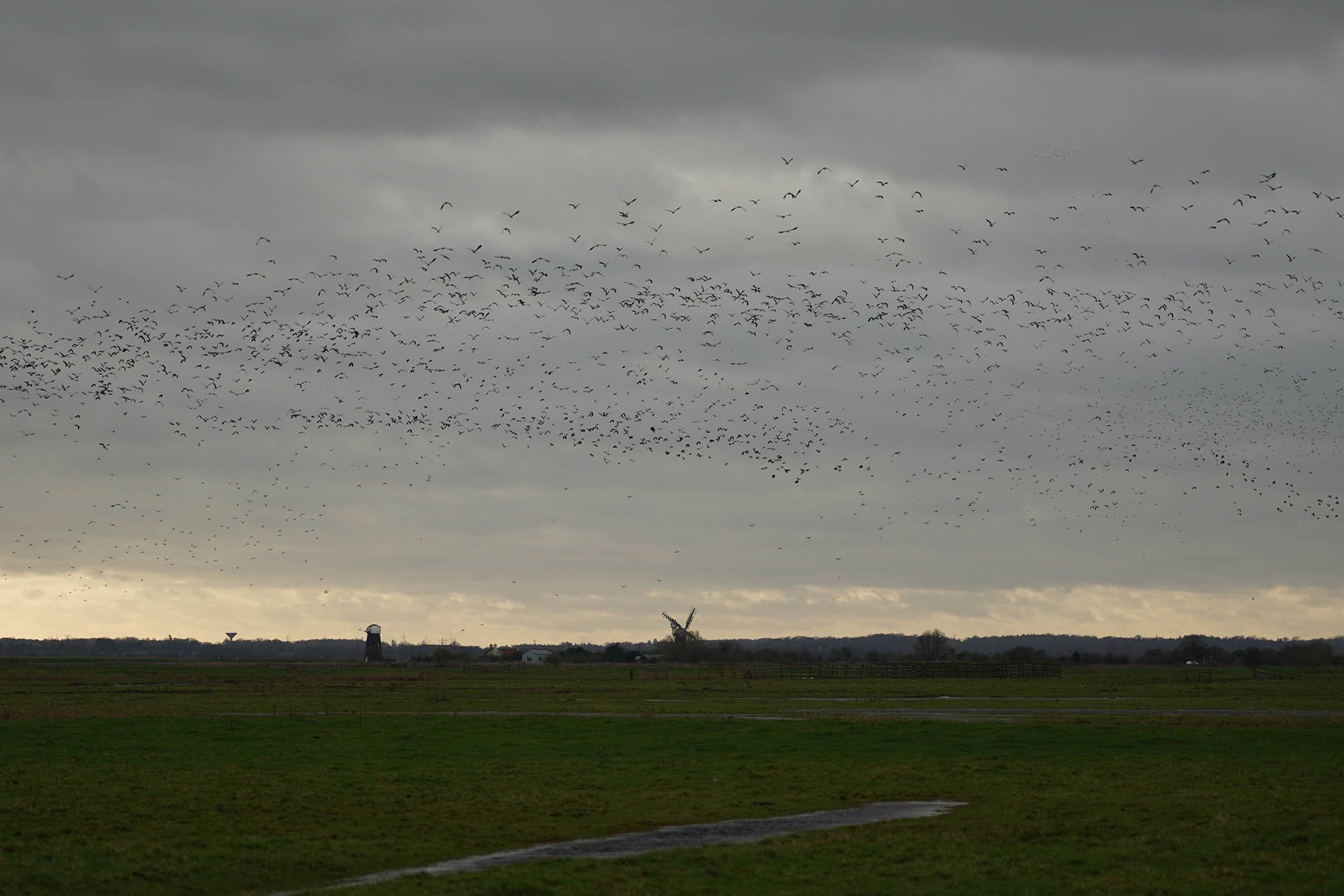
Todays forecast was for sunshine all day but someone got it wrong! Here this view is to Polkeys Mill and lots of migrating birds.

Crossing the railway line near Berney Arms.

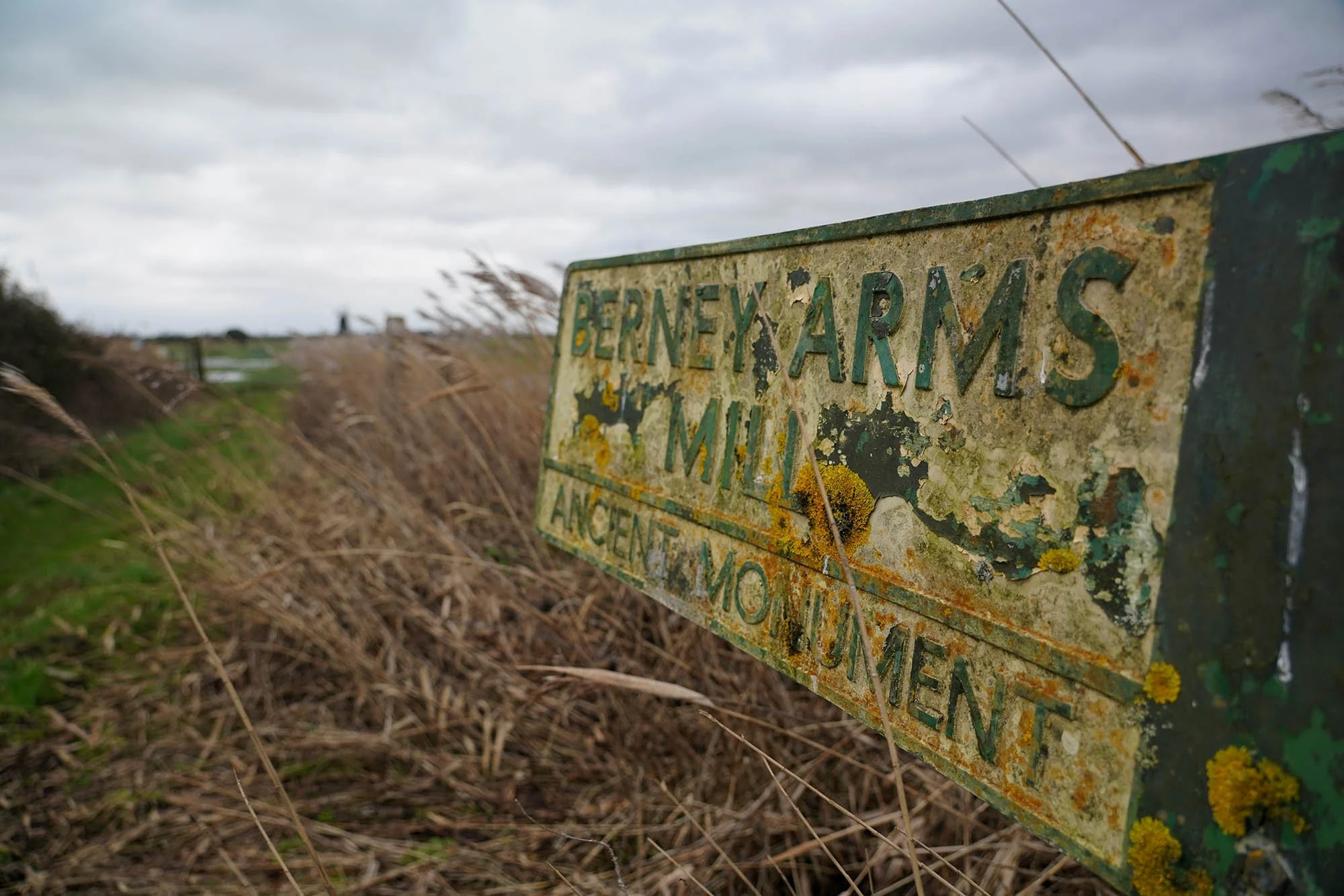
Crossing the field to Berney Arms Mill.

Flooded marshes around Berney Arms.

Berney Arms Mill.

Following the riverbank round to the old Berney Arms pub which closed years ago.

Now along the edge of Breydon Water.

Lockgate Drainage Mill.

Evening sun rays through the clouds.

Last final mile round to Great Yarmouth train station.