St Peters Way
Start: Chipping Ongar, Essex
Finish: St Peters Chapel on the Wall, Essex
Distance: 66km (41 Miles)
Duration: 3 - 4 Days

New for Spring 2024
Full Linear Route Directions
Maps showing the route, direction of travel, features and points of interest
Photos throughout the walk
9 shorter circular walks taking in parts of the Wherryman’s Way
The Wherryman's Way is a superb 38 mile long riverside walk linking the city of Norwich to the coastal town of Great Yarmouth. Numerous historic ruins, pubs and wildlife hot-spots are passed along the route to the coast which should ideally be split down over 3 or 4 days to make the most out of this stunning and unique National Park. This book provides details, maps and directions of the entire trail and nine extra circular walks that take in the very best parts of this unique long distance walk.
Paperback | Page Count: 67
Part 1: Chipping Ongar to Margaretting

Chipping Ongar high street - the start of the trail.

The stunning Norman church in Chipping Ongar.

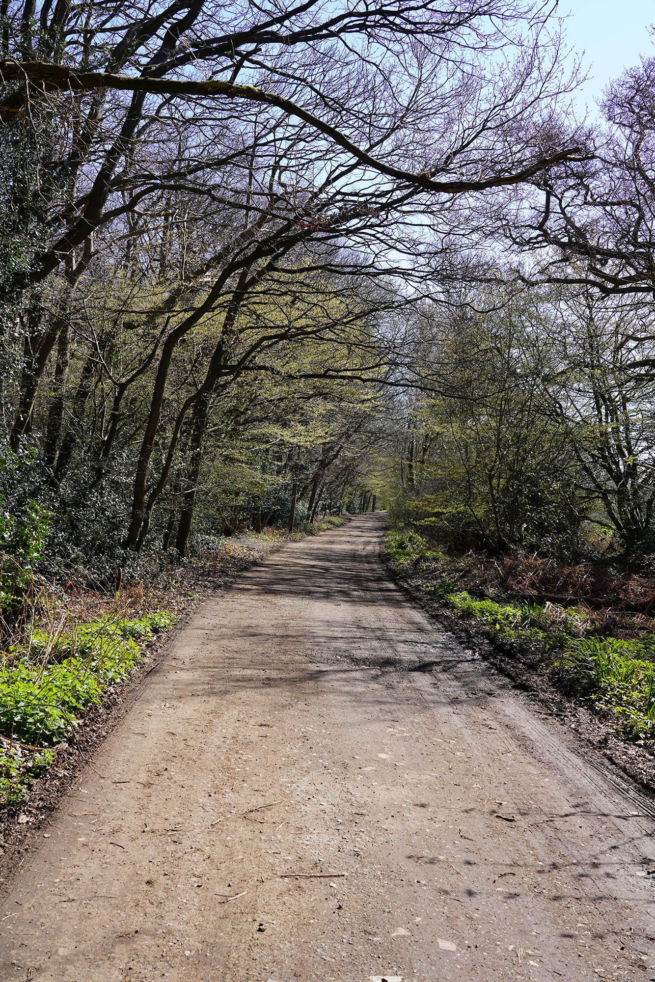
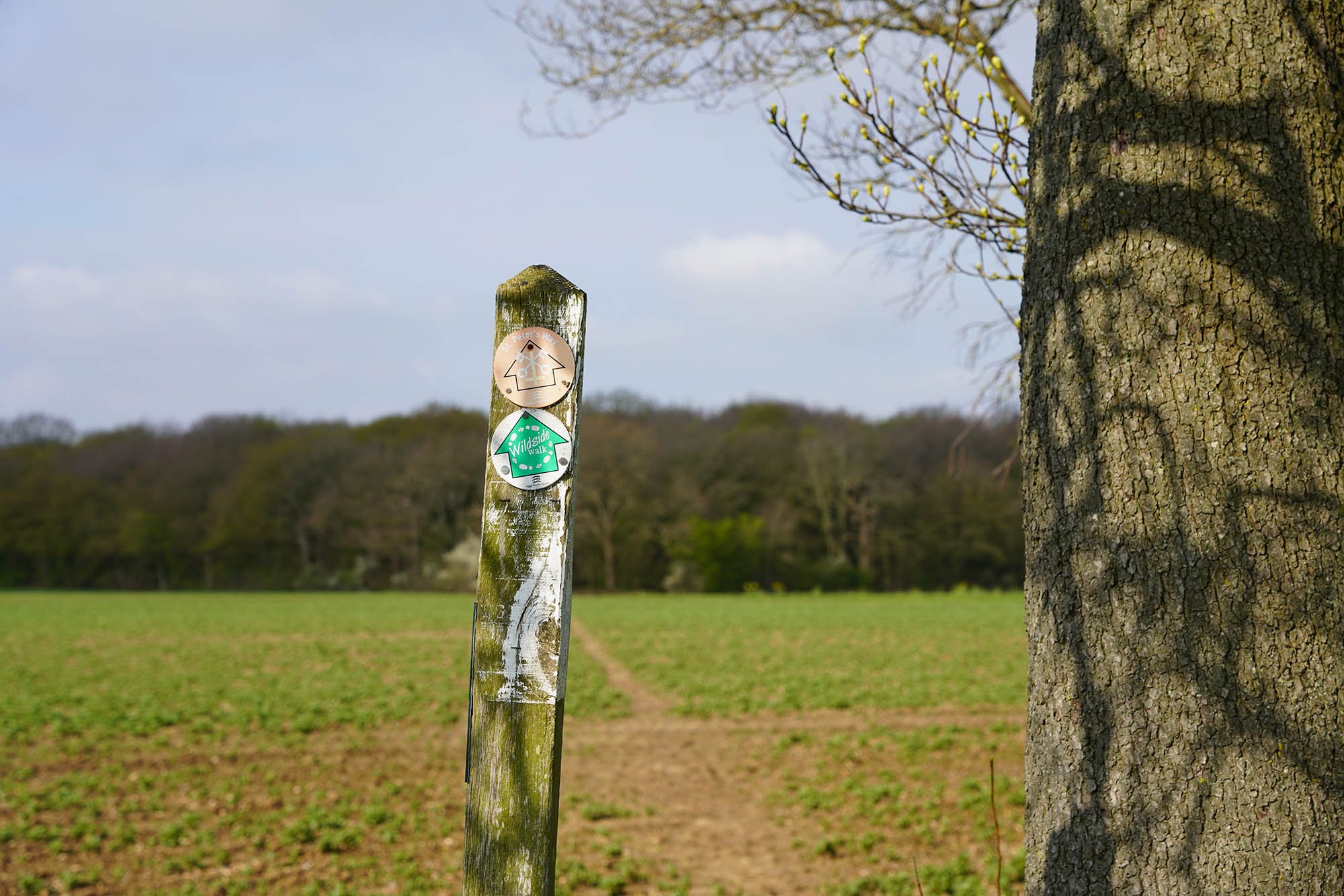
Following the red signs out of Chipping Ongar.

Crossing the River Roding.

Crossing fields and looking back to Chipping Ongar.


Arriving at the Priory at Blackmore.


Blackmore village sign.

A lovely place for a spot of lunch.


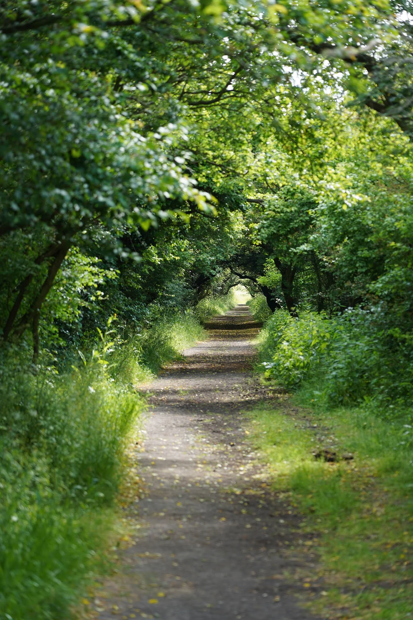
Following lanes near Beggar Hill.
Mapletree Lane.

Just outside Millgreen Common.
Part 2: Margaretting to Bicknacre

Approaching the village of Stock.

Stock Mill.

Following the lane towards Hanningfield Reservoir.

Bluebells in the woods alongside.

A view over the reeds on the edge of Hanningfield Reservoir.

A glimpse of the reservoir.

Heading towards the crossing of the A130.

Thankfully there is a footbridge!

Heading up the field edge the other side to East Hanningfield.

East Hanningfield Church.

A view up to Danbury - the site of an Iron Age Fort.
Part 3: Bicknacre to Maylandsea

The moat at Wickham's Farm.
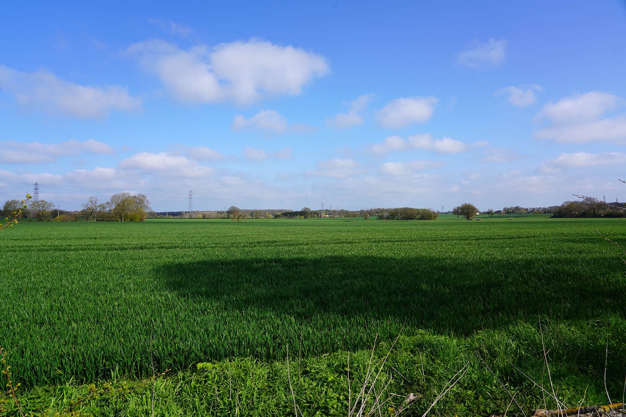
Following the field paths towards Purleigh.

Purleigh itself sits on a slight hill and offers views to Maldon.
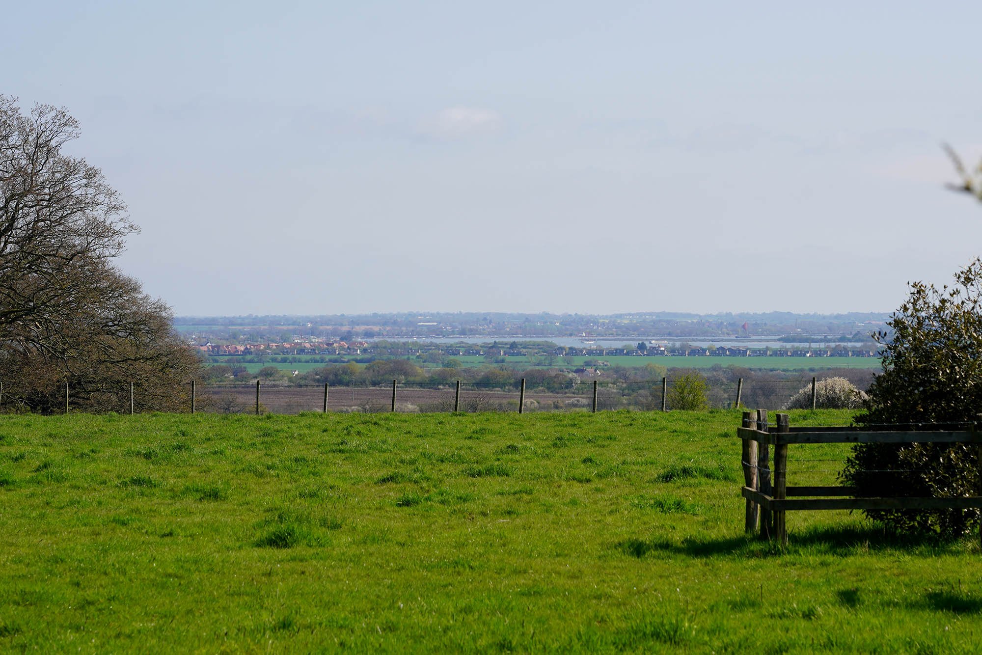
A glimpse of the estuary.

Heading through a vineyard towards the church.

Views over to Maldon from the church yard.
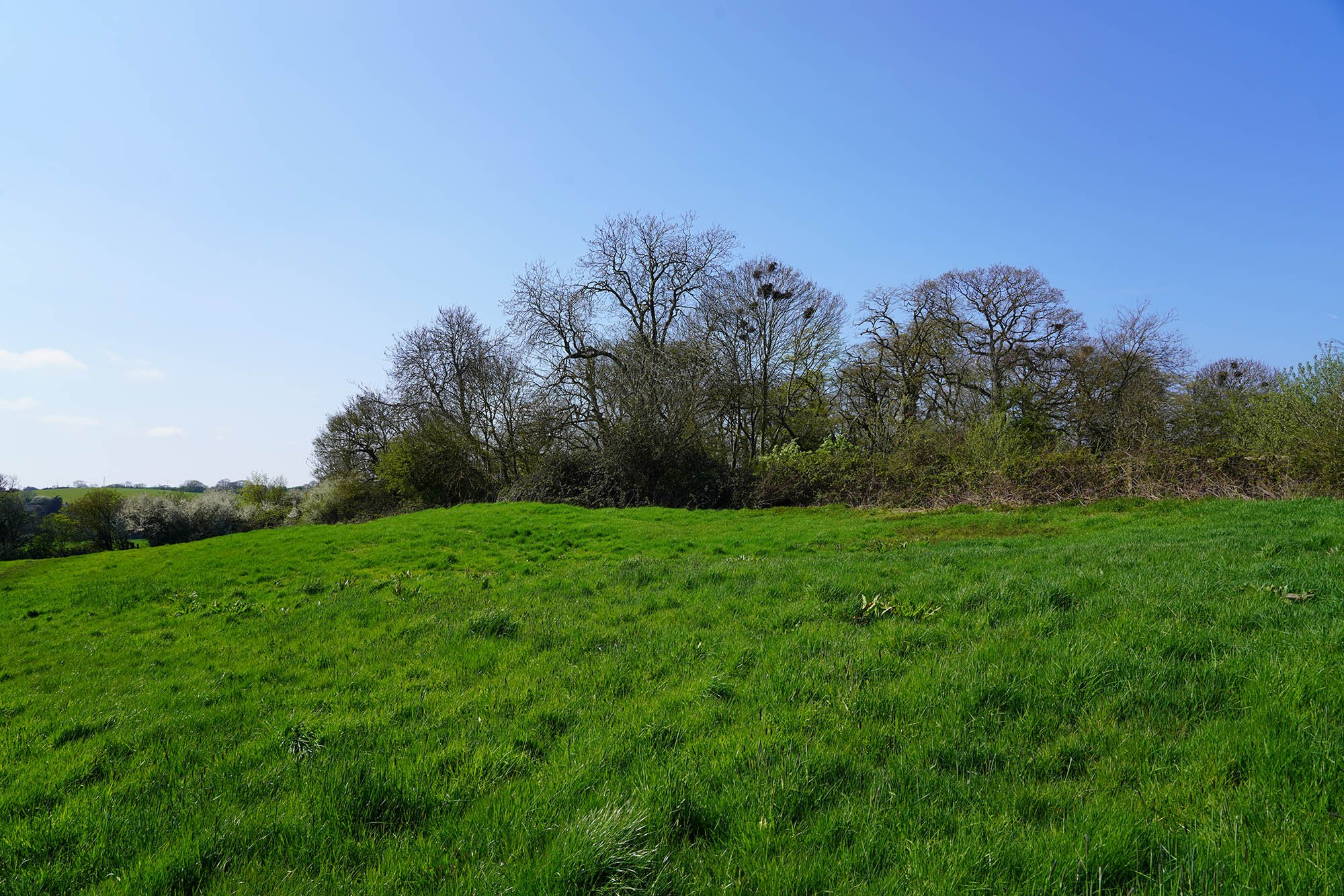
The site of Purleigh Castle.

The view back emphasises the mound that Purleigh occupies.

Entering Mundon.

The historic Mundon Church.

Just behind the church sits earthworks within a moated enclosure.

The waterfilled moat.

The dead oaks of Mundon.


Down along the estuary near Maylandsea.

Entering Maylandsea and now on the England Coast Path.


Lovely estuary side views.
Part 4: Maylandsea to St Peters Chapel
Leaving Maylandsea.
Soon to rejoin the estuary edge for a little bit.

Back along the estuary for half a mile.

Stunning day today and very excited to finish the trail.

Beautiful estuary edge.

Time to head inland again until the last few miles...

Steeple Church.

Gaining a little height so I can see for a few miles.
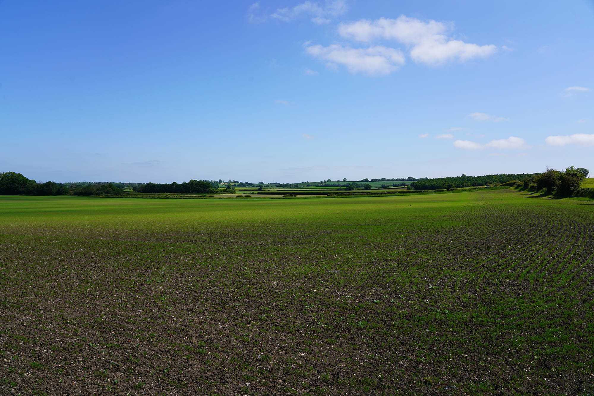

Warm sunshine and a lovely view over the fields.

Lovely views north.

Field edge paths near St Lawrence.
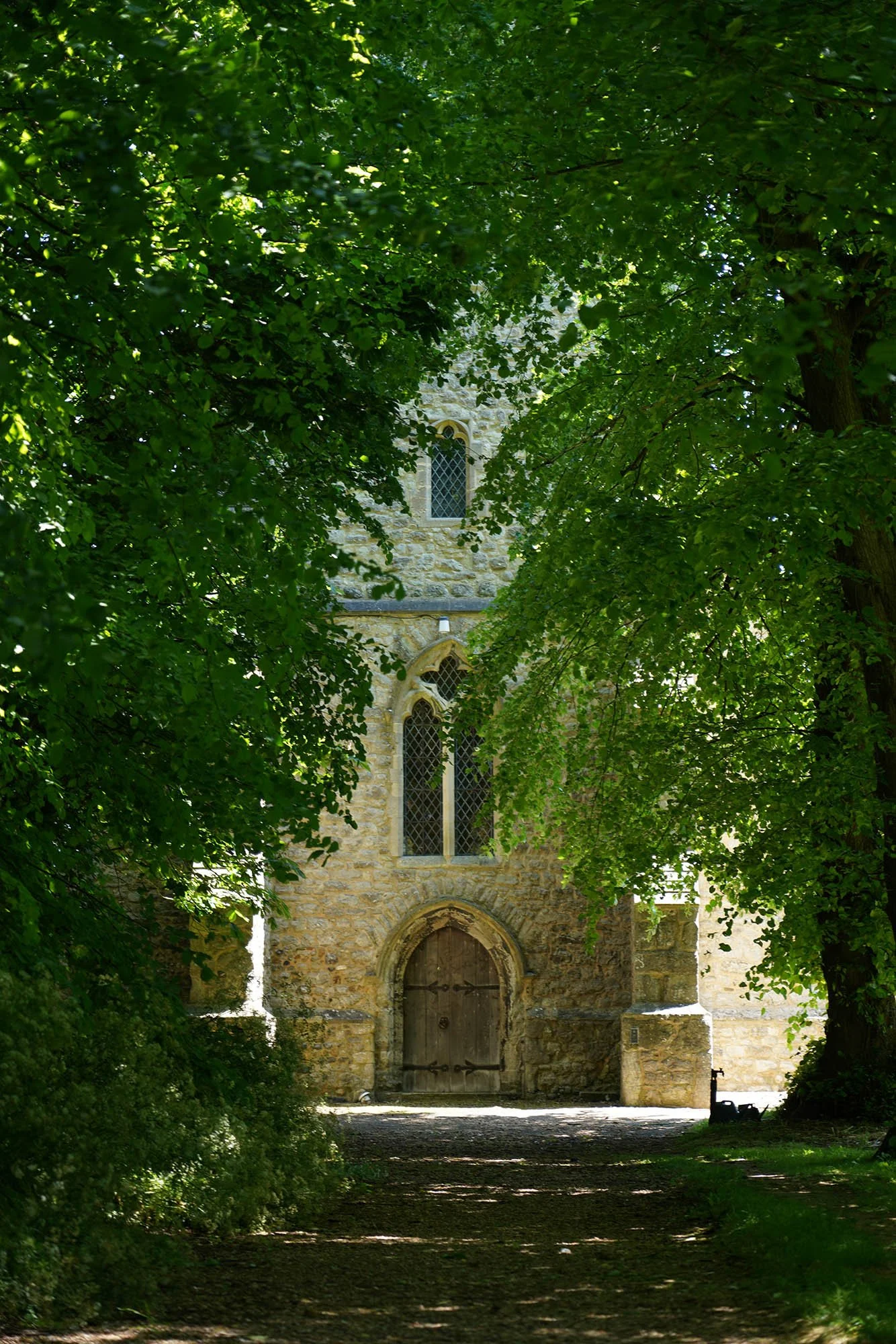
Tillingham Church.


Following farm tracks before taking paths through fields to the sea.
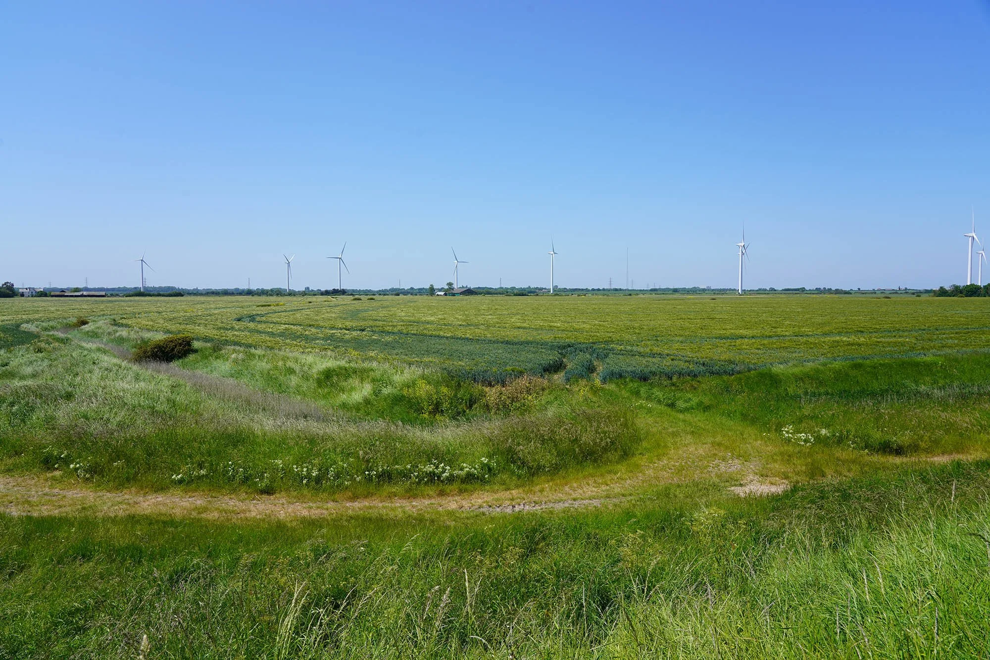
The nearby wind farm.

Now up on the sea wall.

Vast mudflats and a haven for waders.

Heading north along the sea wall.


St Peters Chapel on the Wall - built on the site of Orthona Roman Fort.
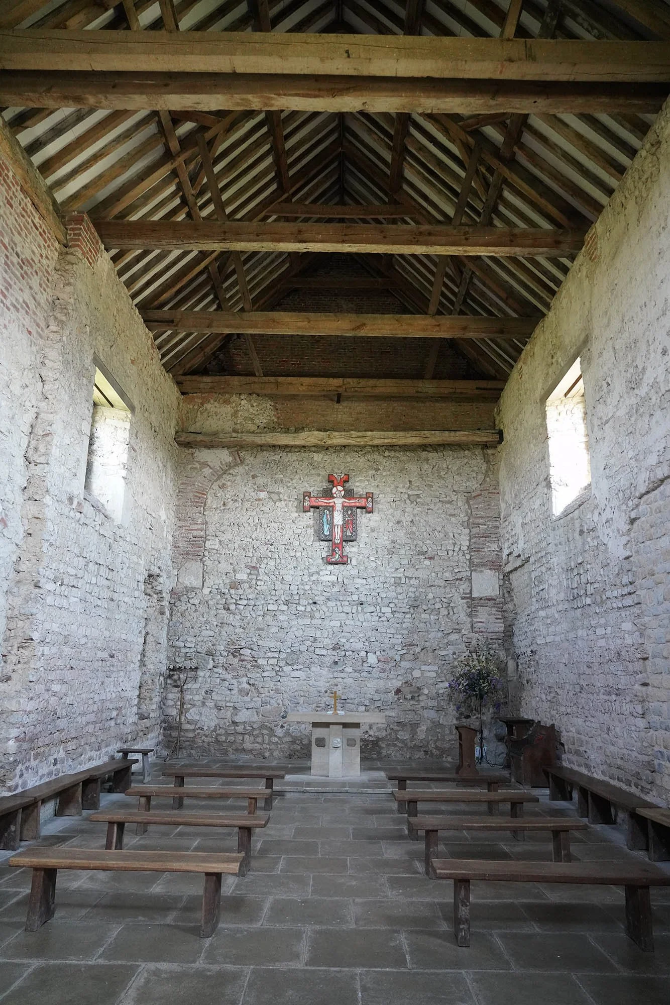
Inside the Chapel.


St Peters Chapel. A Saxon chapel dated to 654-662AD with many alterations through the years including being used as a barn.
