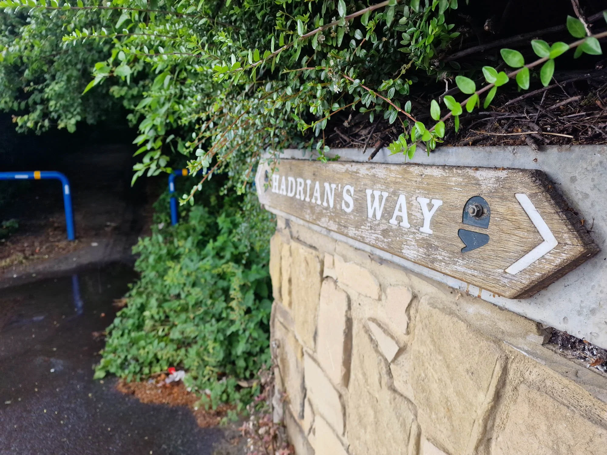
Hadrian’s Wall Path
Distance: 135km (84 Miles)
Start: Wallsend, Newcastle
Finish: Bowness on Solway, Cumbria
Hadrian’s Wall, a National Trail that nearly all walkers would have heard of. An almost Coast to Coast route from East to West, beginning at Wallsend in Newcastle and finishing on the Solway Coast at Bowness on Solway in Cumbria. It passes some diverse landscapes including city, farmland, moorland, hills and estuary. This is my journey along this historic trail.
Day 1: Wallsend to Heddon-on-the-Wall (27.04km/16.8 Miles)

Getting off the Metro Line at Wallsend. Its only 5 minutes to the beginning of the trail from here.
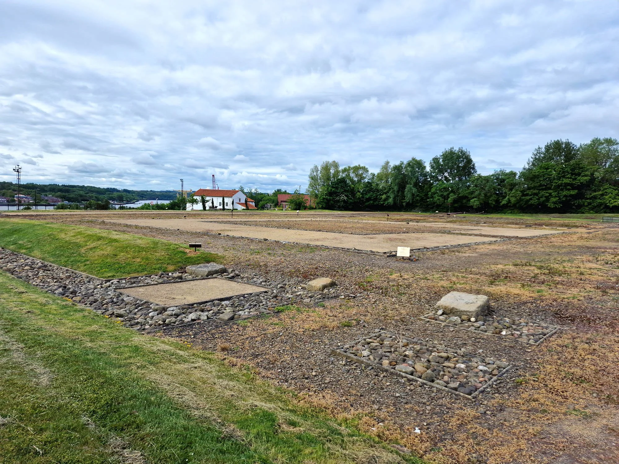
Segedunum, the Roman Fort at the start of the Hadrian’s Wall Path.

The statue at the start of the walk.

I cant say this just yet… I’ve only walked about 20m of it!

84 Miles to go…

We took a tiny detour to see the location of the bath house for Segedunum Roman Fort.

Following an old railway line.

Hints at the Roman origins.

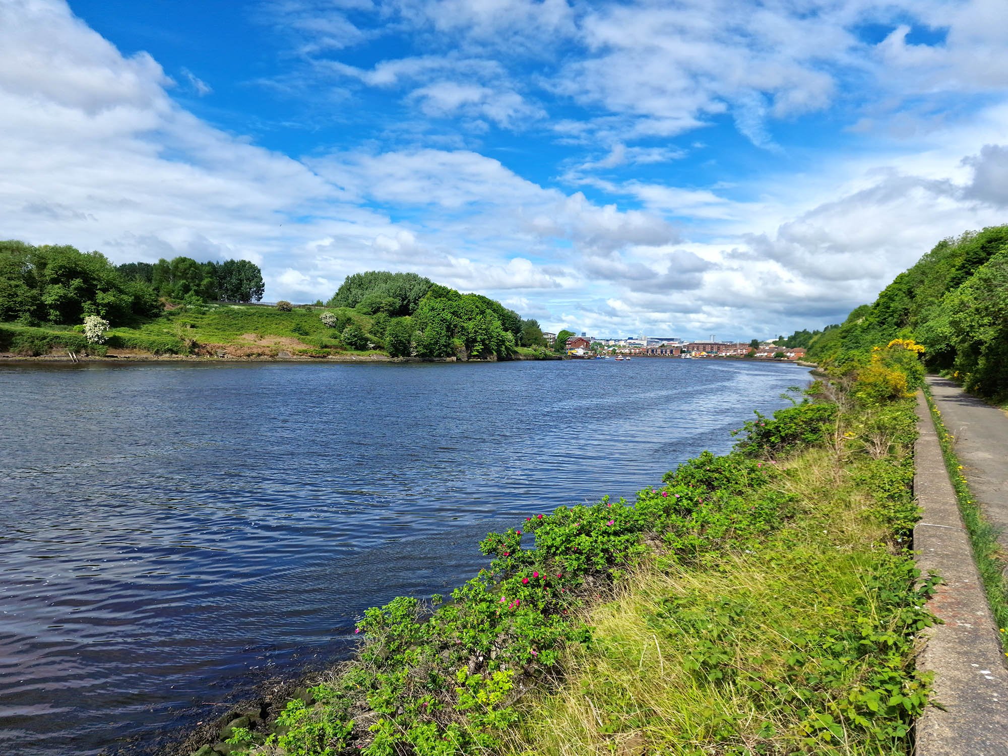
Now by the River Tyne which is followed through Newcastle.

Following the river into the city.
Beautiful blue sky at the moment, oh how this was going to change…


A lock on the edge of the city.

Still some blue sky about, up to this point we had had a few showers but nothing too bad.


You can see in the River Tyne the rain splashes. It was very heavy from here on for the next hour or so!

A detour off the trail to see the Norman Castle.


Following the Tyne again but thankfully the rain has stopped for a bit!

A very well waymarked trail so far.

Back on a tram line or old railway line.

Passing an old chimney, I think this was used as a Glassworks.

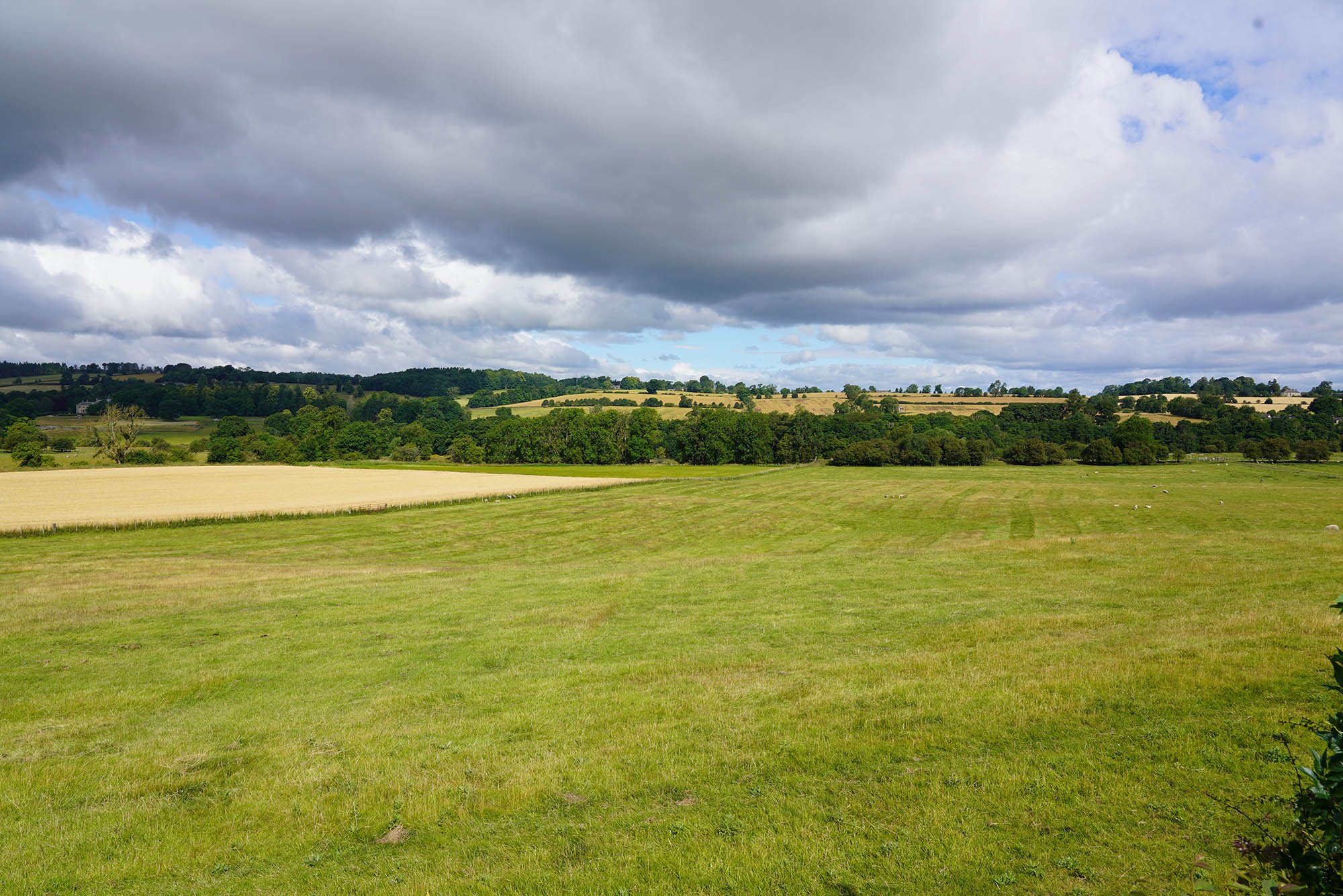
The view back. Its been about 10 miles of city walking of which I have to agree with everyone else and say it was the worst bit of the whole walk, but also not as bad as I thought it would be.

A broad River Tyne.

That’s Heddon-on-the-Wall up there so we have about 100m of uphill to do soon!

A view back down from where we came.

The River Tyne where we were about an hour or so ago.

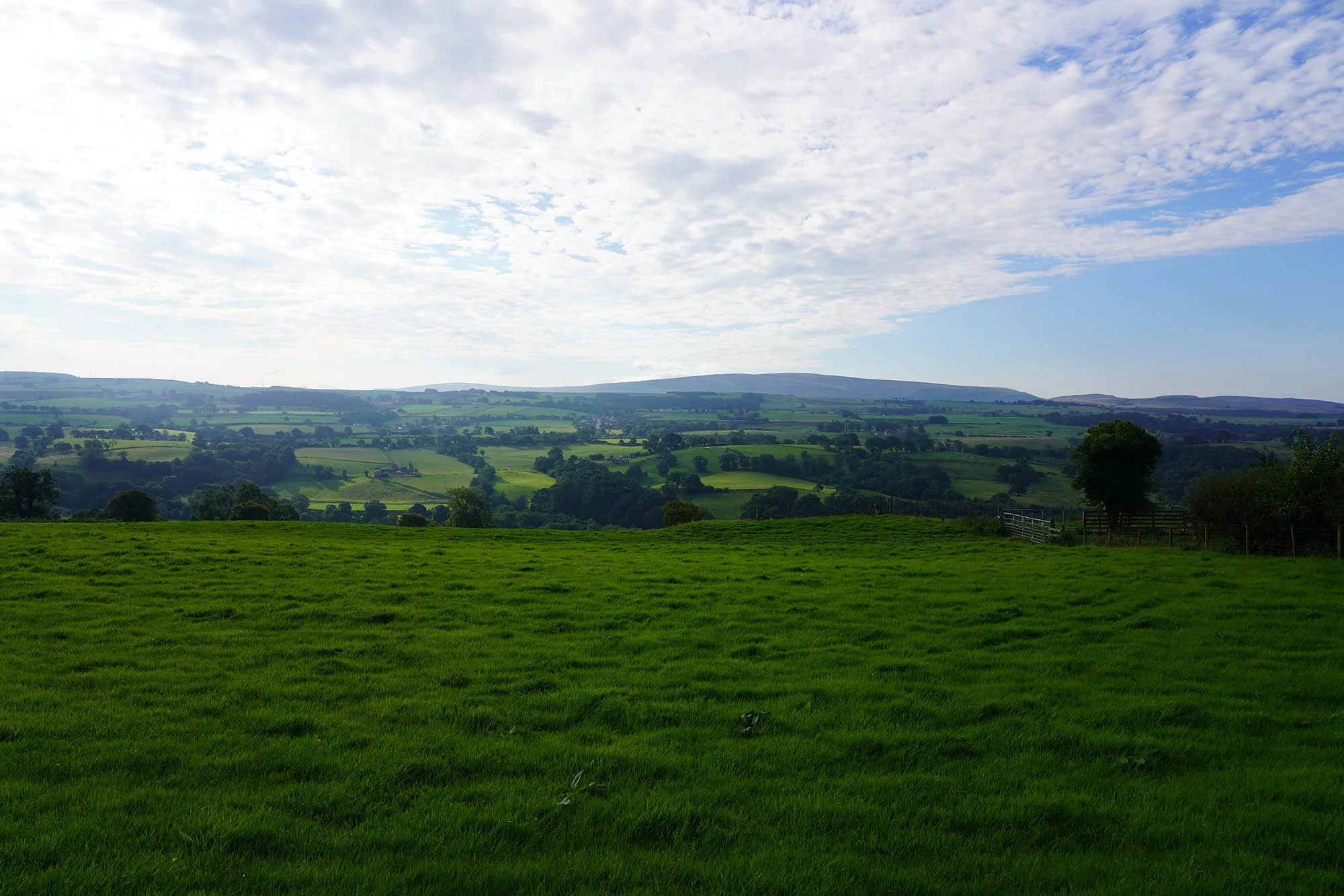
A lovely view from Heddon-on-the-Wall.

Up to this point, other than the Roman Fort and Baths at the very start of the day, we have seen no wall remains at all. This all changed at Heddon-on-the-Wall with our first view of real Roman Wall!

So exciting to see some wall!
Day 2: Heddon-on-the-Wall to Chollerford (27.23km/16.9 Miles)

Vindobala Roman Fort just outside of Heddon on the Wall.
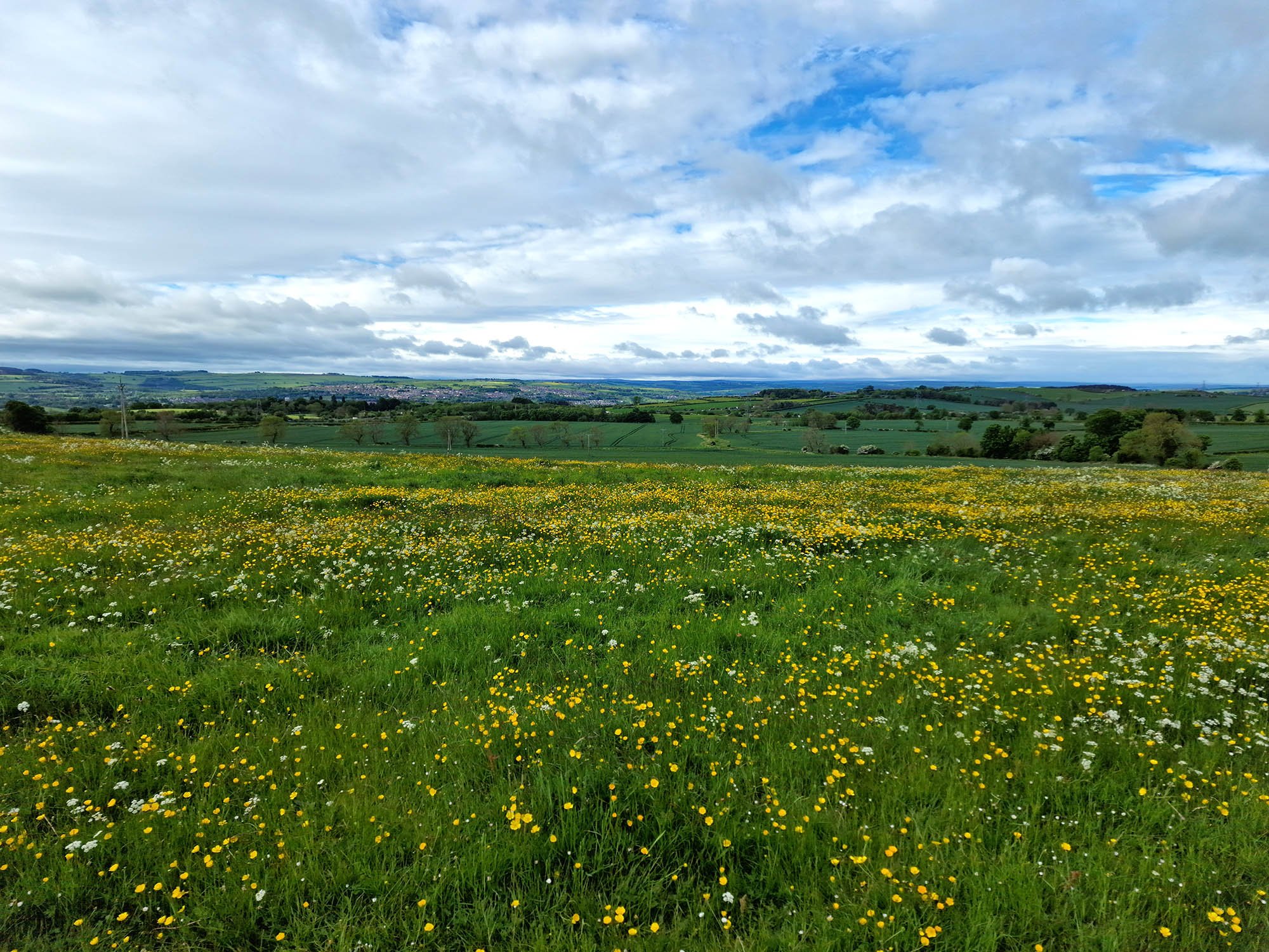
The meadows were absolutely beautiful along this stretch.

And the views were great too!

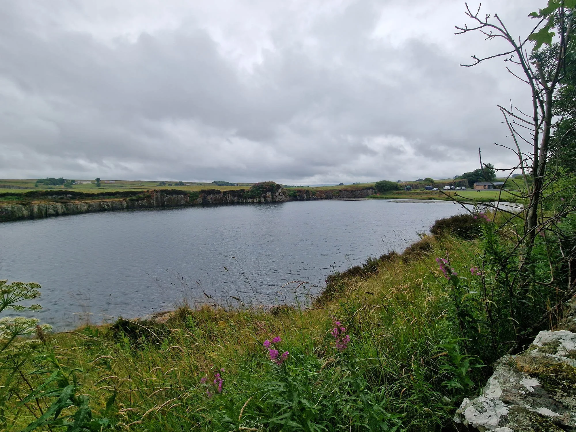
We stopped at the bird hide at Whittle Dean Reservoirs and had some early lunch. Shortly after this the clouds became very dark and the heavens opened!

The infamous Nintendo in the wall…

And Playstation.

This first half of day 2 really allowed you to focus on the Vallum, a massive ditch which was dug about 20 years after the completion of Hadrian’s Wall and meant as a second line of defence but became more of a hinderance! You can make out the massive earthworks along here.

The Vallum near Carr Hill.


Look how impressive the 2000 year old earthworks are!


This was the site of Onnum Roman Fort.

The perfect place for another rest up and some more lunch. Only 5 miles left for today.

Due to recent storms there was a diversion of the trail around to an ancient woodland but gave us views like this.
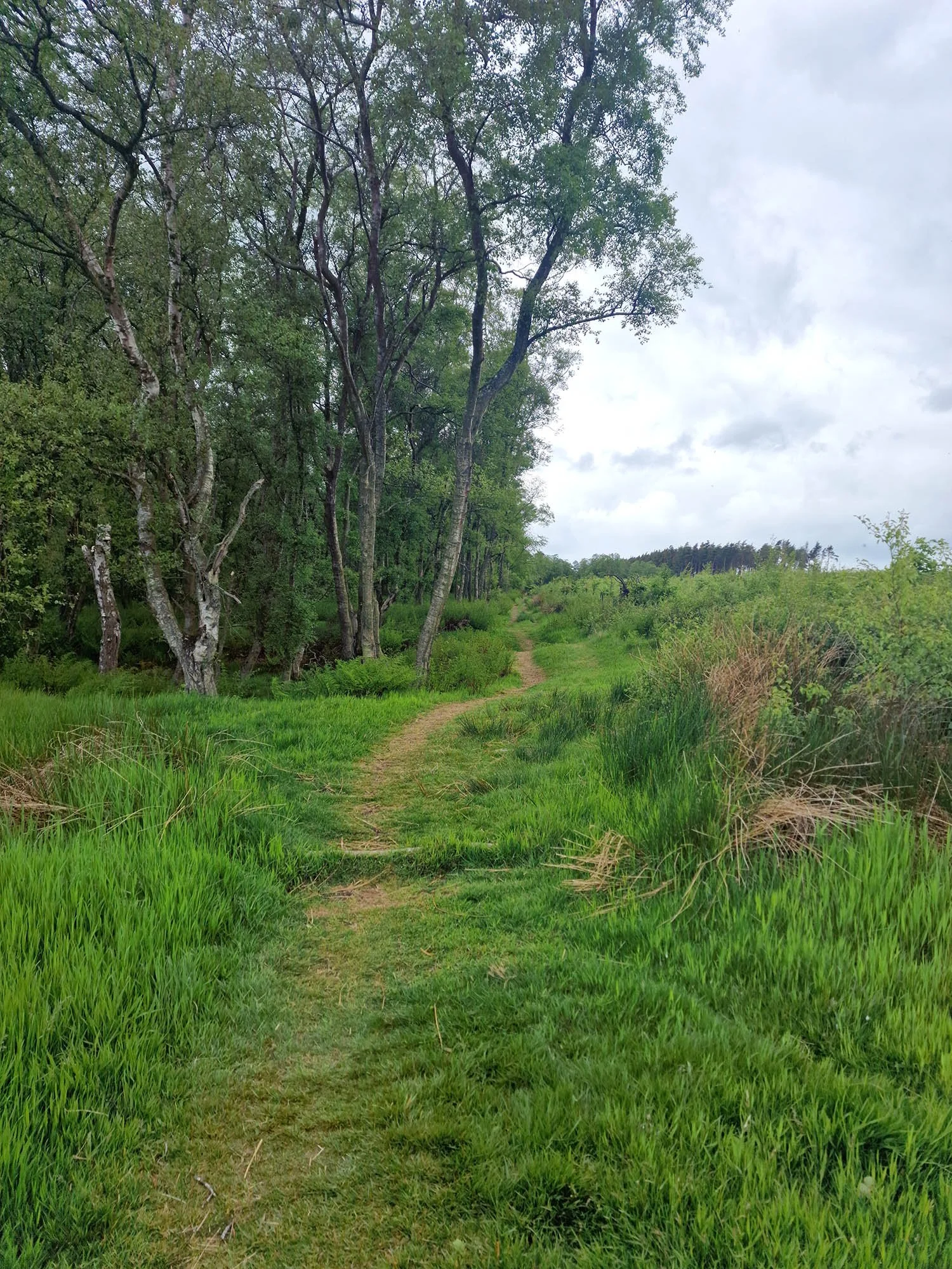
Following the path into woodland.

This was one of the most magical woodlands I have ever walked through . It was straight out of a fairy tale!
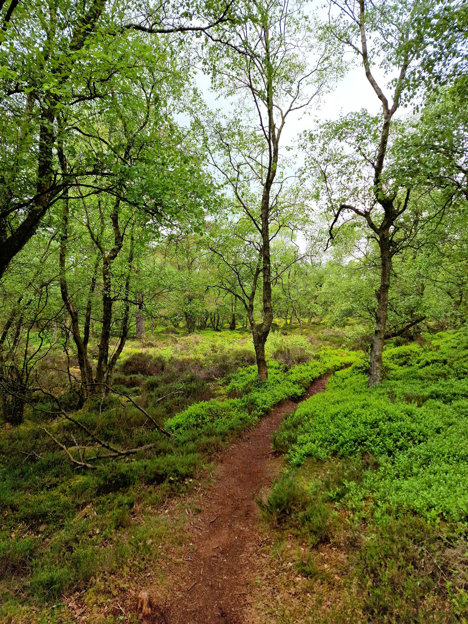

The reason for the diversion.

The location of Milecastle 24.

Lovely views over Northumberland again.

More earthworks and fantastic long distance views.

We have been following part of the St Oswald’s Way and this sign gave some information on this, close to a battle site.

The nearby chapel is behind those trees.

Down the bottom of this hill was Milecastle 26.

Where we have just come from.
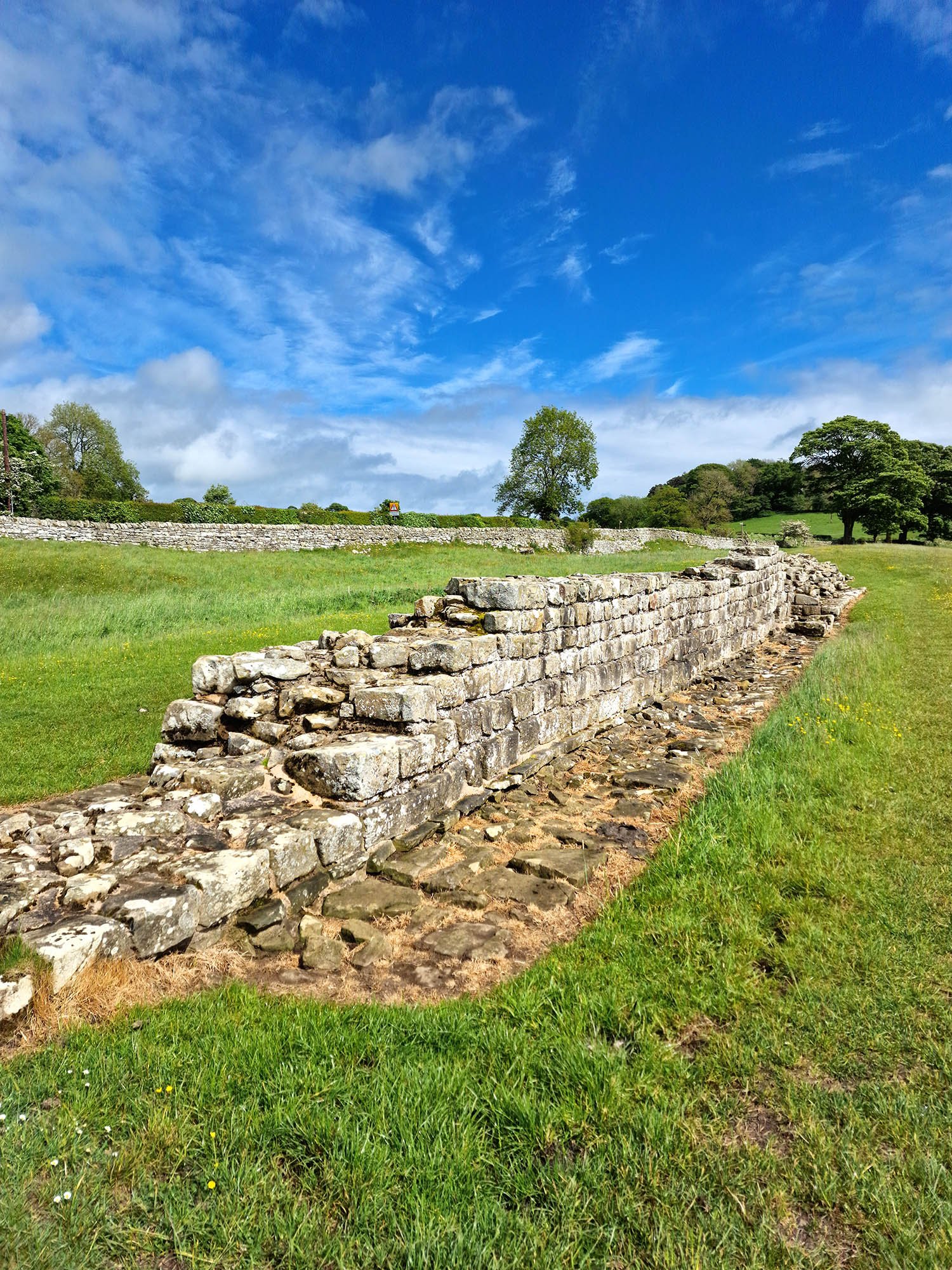
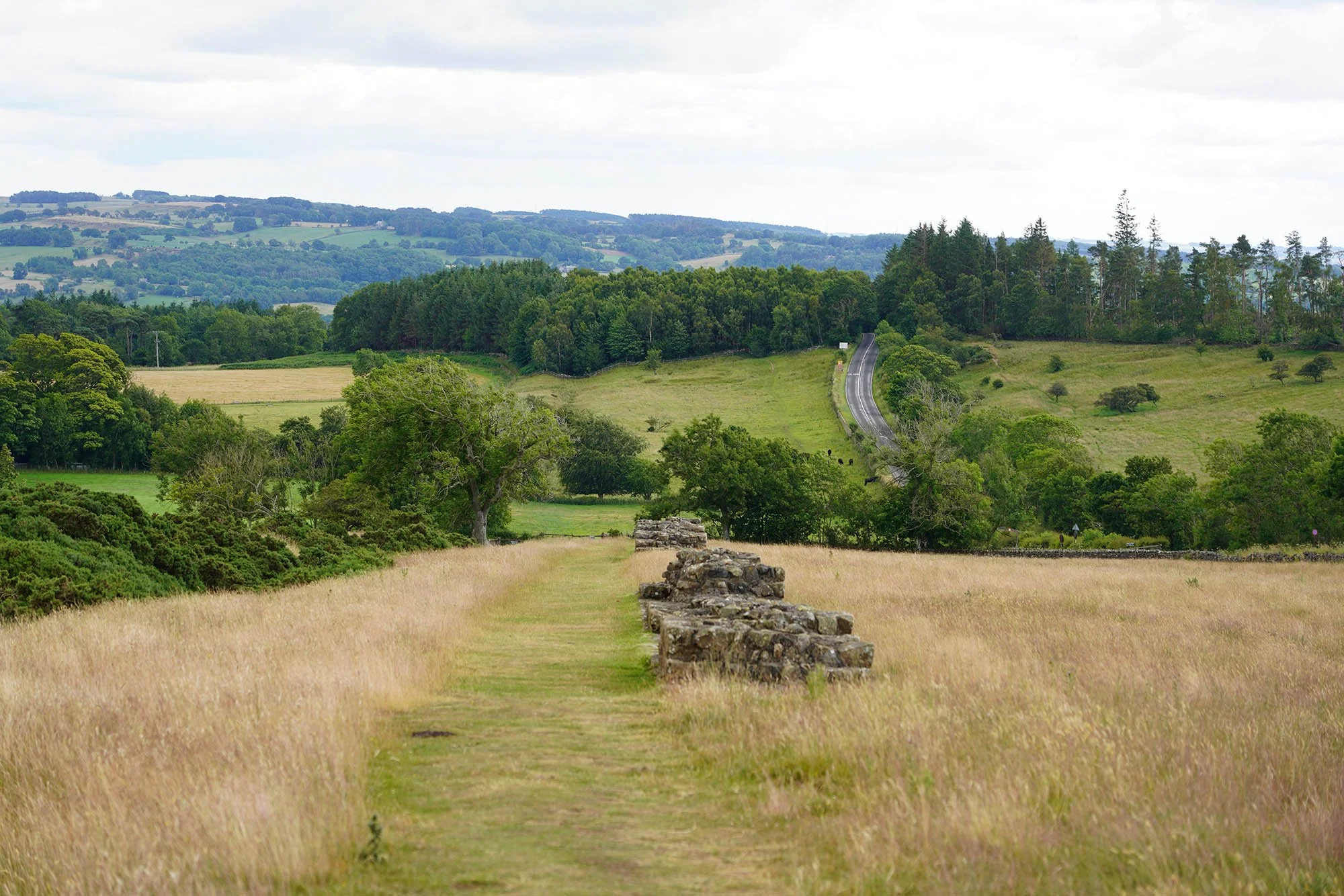
An amazing excavated section of wall at High Brunton! It was so amazing to see this as we’ve not seen any wall since Heddon on the Wall.

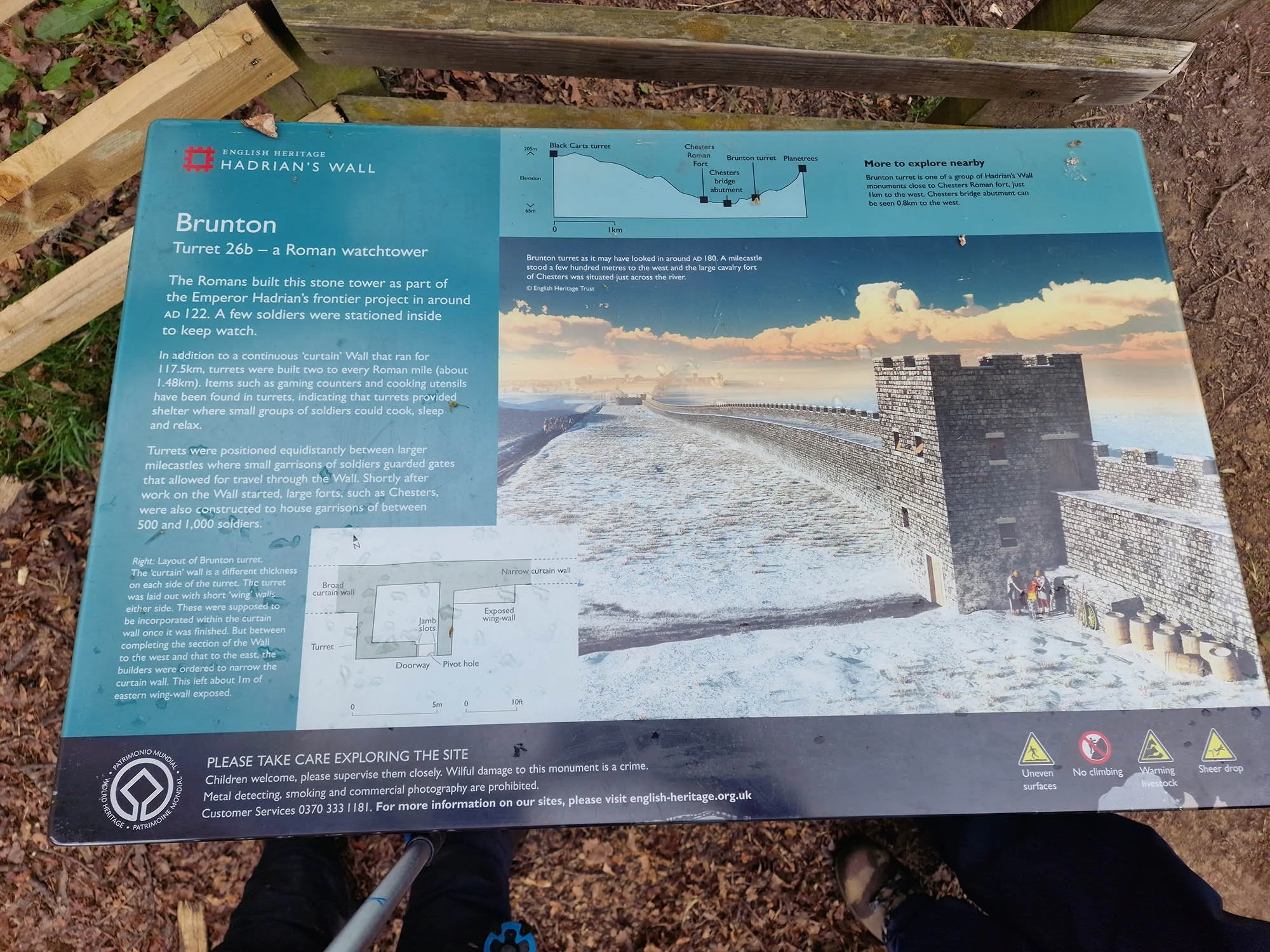
For some more Roman Ruins we took a tiny detour at the end to see Brunton Turret.

Brunton Turret and Hadrian’s Wall near Chollerford.
Day 3: Chollerford to Twice Brewed (26.2km/16.3 Miles)
Lovely day as we leave Chollerford.

At Chollerford we took a little detour to see a ruined Roman Bridge.

Part of the Roman Bridge which crossed the River at this point.

Incredible ruins that were unexpected! This is the original Roman floor of the bridge.

The remains of the bridge on the other side of the river. Just up on the hill over there is also Chesters Roman Fort.

Roman Pillar.


The River North Tyne.

Lovely big house opposite the entrance to Chesters Fort.

The walk out of Chollerford steadily goes uphill and the views begin to open up.

Lovely views across the valley.

Nick has met up with us for a couple of days to do the middle section of the trail. Clearly loving the warm weather in his shorts!


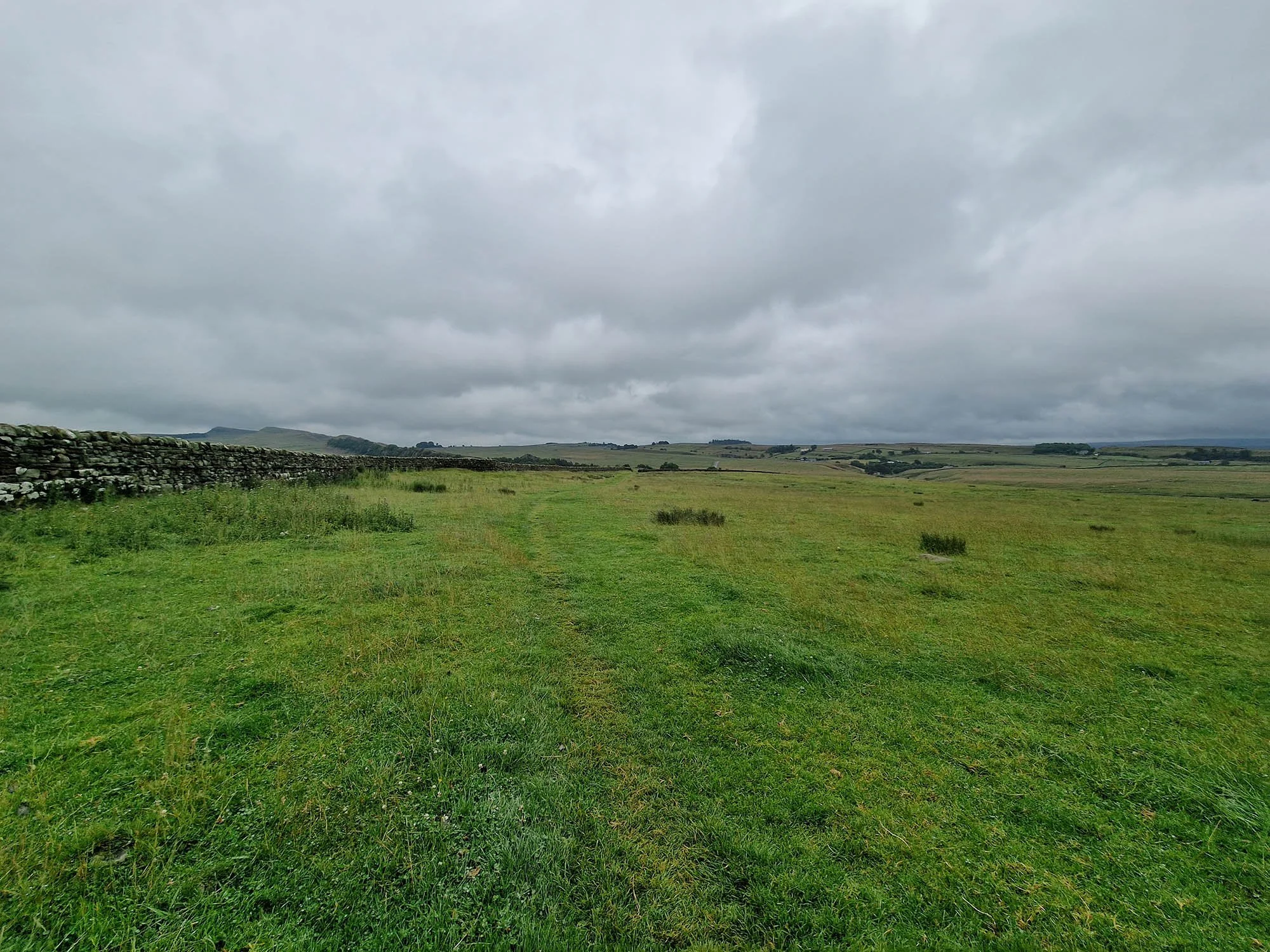
Follow the edge of the road with large earthworks of the wall on the right and the Vallum on the left.

Roman wall up ahead.

Distant Pennine hills.
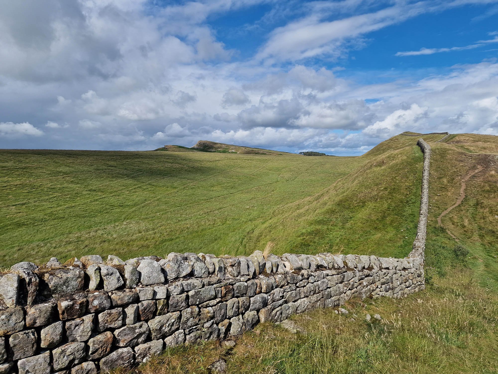
A lovely section of Roman Wall as we head uphill.

The trig at 250m above sea level near Milecastle 30.

Brocolitia Roman Fort.

Mithraeum - a Roman Temple which is a first for me!


The earthwork line of Hadrian’s Wall. Up on the left is the massive Vallum earthwork.


The remains of a Turret along Hadrian’s Wall.

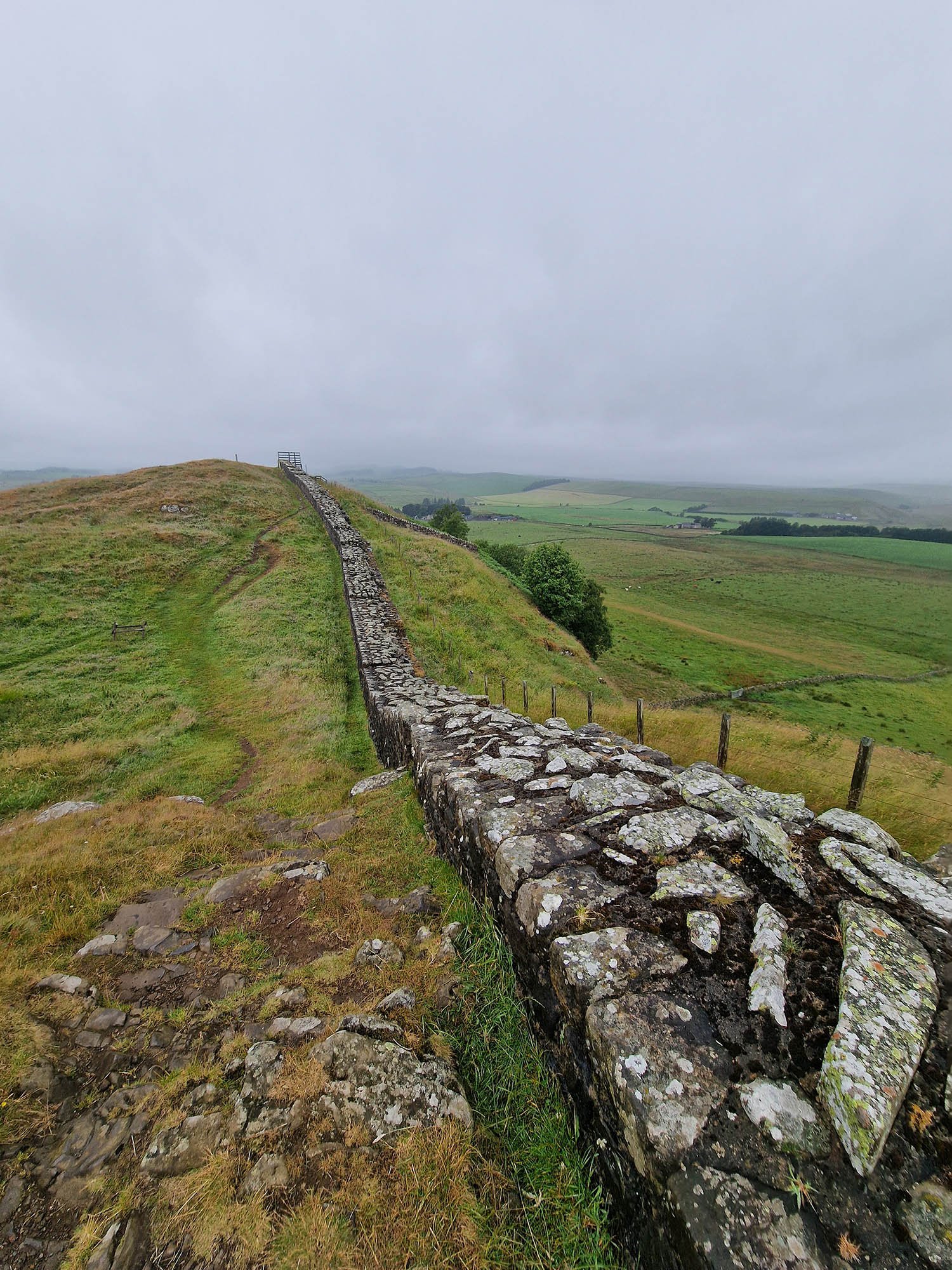
Up near Sewingshield Crags the wall is in stunning levels of preservation.


I believe this might be a cist burial chamber?

The massive ruin of Milecastle 35.

One of the most spectacular sections of Roman Wall.

Beautiful views north now we are well into the Northumberland National Park.

Another well preserved turret.

On the 325m summit of Sewingshield Crags.

Looking back along the wall.

Looking through the hole in the wall to Broomlee Lough.

Now these mountains I recognise… but wow was it a surprise to see them. I usually see these from the other side when heading to or from the Lakes. That is Great Dun Fell (with the observatory on the top) and Cross Fell, about 37km away.
A view back along the line of the wall. That’s Sewingshield Crags at the back.

We took half an hour to explore Housesteads Roman Fort.

It is under the care of the National Trust and English Heritage so we had free entry and it was amazing.


The Roman toilet block.

The ruins of another Milecastle.


Distant Sewingshield Crags. Rain inbound I think…

Darker skies as we approach Steel Rigg.

Crag Lough.


One of the most famous locations coming up…

Sycamore Gap.
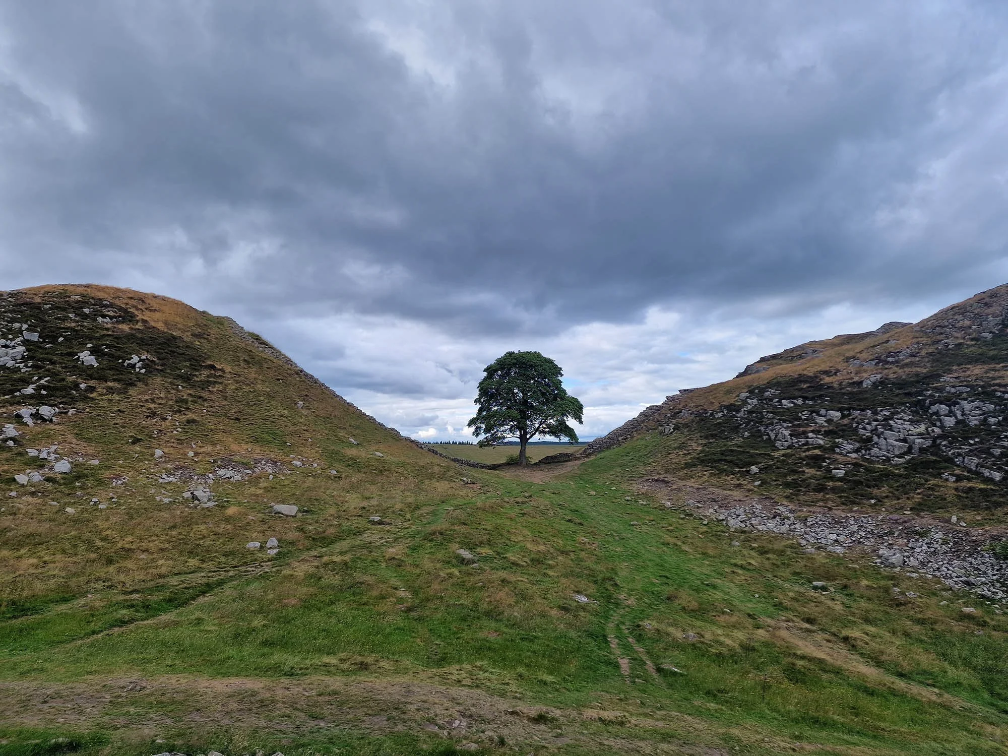
A detour to capture the most iconic scene along this part of Steel Rigg.

Milecastle 39.


A view back to Steel Rigg.

One last view before we end the day here.
Day 4: Twice Brewed to Birdoswald (18.5km/11.5 Miles)

Well the weather has changed today with low cloud and frequent rain and strong winds…

The Trig Point on the top of Winshield Crags at 345m above sea level. The highest point along the entire National Trail.

Long sections of Hadrian’s Wall.


Milecastle 42.

Here we took a detour for the view down the wall to Milecastle 42.

The line of Hadrian’s Wall crossed this area but sadly it was quarried away in the past and now a Country Park.

We took a rest here having some early lunch to enjoy the country park.
A view back towards Winshield Crags as we cross fields towards Great Chesters.

Winshield Crags.

Roman Ruins at Aesica Roman Fort.

Roman Buildings along the edge of the fort.

Another view back as we gain height once again.

Another view back along one of the best sections of the trail.

A view towards the North Pennines.

Lots of steep crags around Walltown.


A well preserved turret along the wall.

A wonderfully preserved tower.

Another ancient quarry which removed sections of Hadrian’s Wall which crossed to the other side.

Huge sections of wall along these crags.

And the weather is beginning to improve as we reach as we reach the country park near Magnis Roman Fort.

Beautiful warm sunshine in-between the rain.

Stunning views as we descend down to Holmhead.

Alice and Nick enjoying the sunshine.

Thirlwall Castle.

The ruins of the medieval castle.

Superbly preserved wall.


A large tower near Gilsland.
Descending down to the river and the remains of another Roman Bridge.

Huge remains of the Roman Bridge.

After a steep uphill walk we found the ruins of Milecastle 49.

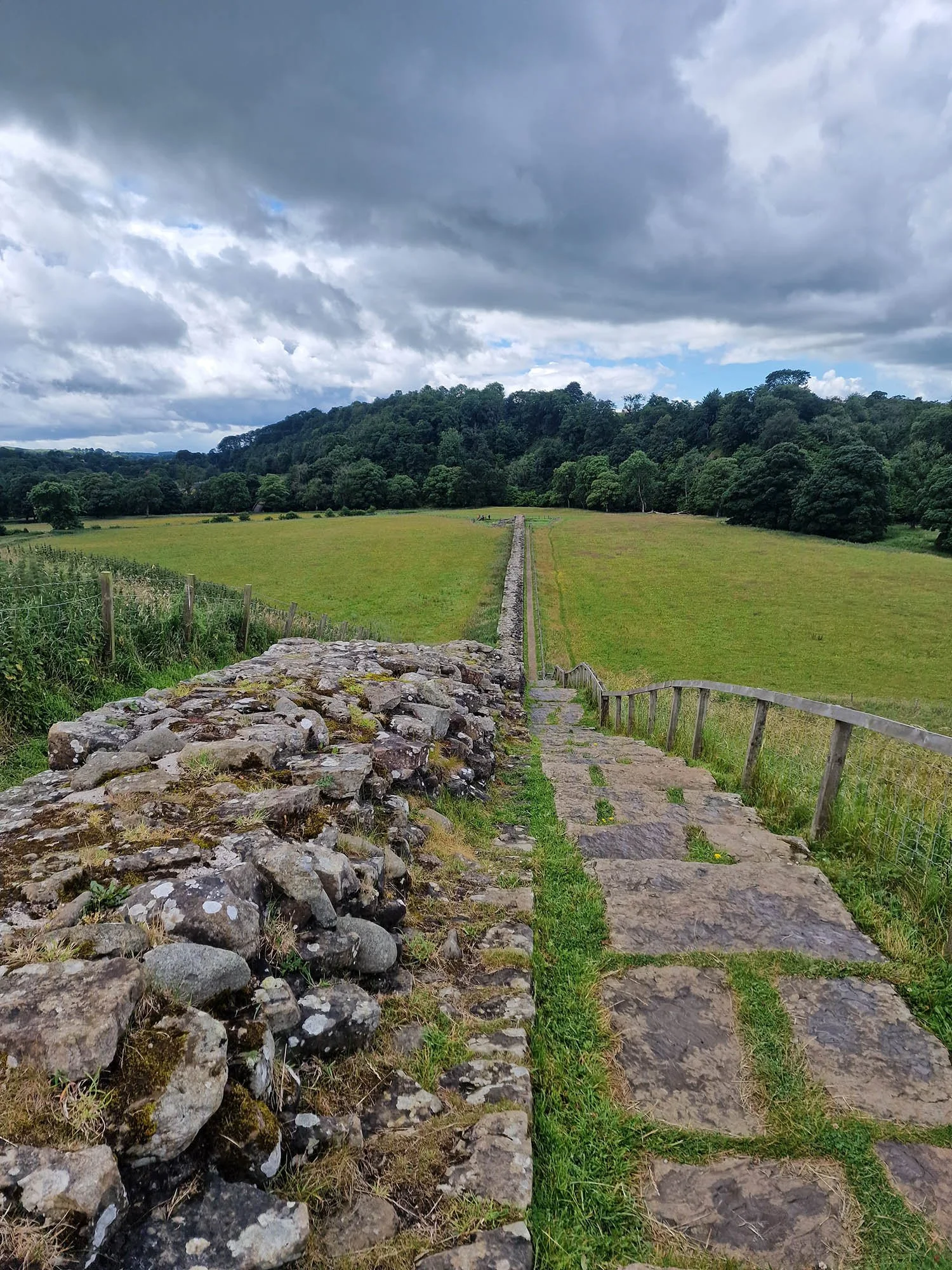
Another long section of wall at Birdoswald where we finished this section to allow time to explore the Roman Fort at Vindolanda a few miles down the road.

A selection of photos from Vindolanda.

Exquisitely preserved Roman ruins.


Excavations taking place within the for walls.


Most of the Fort and surrounding Vicus has all be excavated allowing you to see the layout of the town.


We also took a look in the visitor centre with thousands of artifacts found on the site.


And lastly we had a look at a partial full height reconstruction of Hadrian’s Wall.

Amazing to walk inside and explore what the wall was like 2000 years ago!
Day 5: Birdoswald to Carlisle (31.35km/19.5 Miles)

One of the turrets around the edge of Birdoswald Roman Fort.

The southern wall of the fort and the distant Pennines.

If you have time you should explore the ruins by entering the museum but sadly today we didn’t have time as we had over 30km to do!

Birdoswald Roman Fort.

The distant Lakeland Fells meaning we are tantalisingly close to the Irish Sea.

A ruined turret right next to the road.

The North Pennines.

The ruins of a Roman Signal Station built before Hadrian’s Wall.
Beautiful views to the North Pennines.

The remains of Turret 52A.

Distant views to Scotland.

Briefly following the road at Banks.

Partial reconstruction of the wall near Banks.

A beautiful day today with more distant views to the North Pennines.

Distant Scotland on the far side of the Solway Firth.

A vast panorama over north Cumbria with the distant Lakeland Fells.

The northern fells of Great Dodd and Clough Head to the far left, followed by Blencathra near the centre and Skiddaw to the right.

The view south.

A final superb view over North Cumbria before we descend down to lower ground. I think this is the last hill on the walk.

The location of a Roman Bridge near Walton. From here the line of the wall was followed towards Carlisle.

A snap of a rather famous writer in these parts! We bumped into Mark Richards just past Walton and I had to get a photo! He used to know Alfred Wainwright, wrote numerous books on the Lake District and also the Cicerone Guidebook for this trail!

The Stag Inn at Lower Crosby.

Linstock Castle Peel Tower dating to the 12th or 13th Century and Grade II* listed.


Arriving in Carlisle for the night. Only 1 day left now!
Day 6: Carlisle to Bowness on Solway (26.91km/16.7 Miles)

The first few miles of the trail leaving Carlisle follows the edge of the River Eden.

One of the viaducts over the Eden. This is the disused one.

The River Eden.

Views over the grazing marshes just past Grinsdale. It was near here the heavens opened and we saw numerous walkers get absolutely soaked!

Due to a landslip we had to follow the road into Beaumont but this is the village church, the only church directly on Hadrians Wall and also the mound of a Motte and Bailey Castle from the 11th Century!


The church in Burgh By Sands, likely built using some of the Roman ruins nearby.

The local pub at Burgh by Sands. We saw lots of walkers stopping here for lunch.

The Statue of Edward the 1st.

After the statue there is several miles of straight road walking to Drumburgh.


Vast open grazing marsh north of the road.

Drumburgh Castle, rebuilt in the early 16th Century.

Originally Drumburgh Castle was a Peel Tower dating to the early 1300s using Roman Wall.

Coming up to Port Carlisle.

An old rail link once connected Port Carlisle with the city. This little island is one of the docks I think.

1 Mile left!

Alice is clearly very excited to be at Bowness on Solway!

130 Yards to the end…
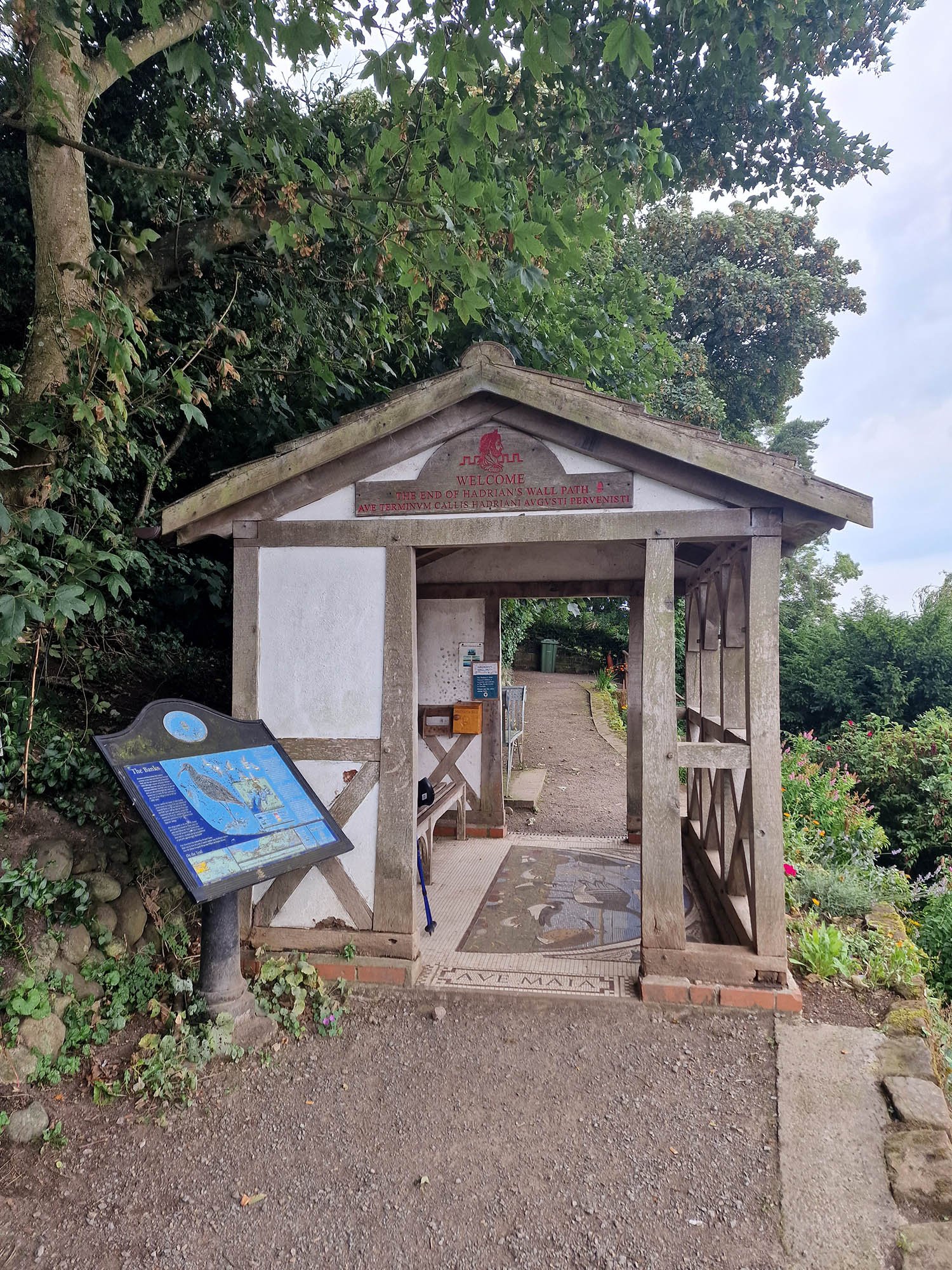
The small hut marking the official end of the Hadrians Wall Path.


A final view over the Solway Firth at the end of this epic walk.