Tas Valley Way
Start: Cringleford, Norfolk
Finish: Attleborough, Norfolk
Distance: 40km (25 Miles)
Duration: 1 - 2 Days
The Tas Valley Way is a partially waymarked trail linking Cringleford in Norwich to Attleborough. Recently Norfolk County Council have stated they no longer manage the route. Download the GPX for the correct trail route and enjoy the video and photos of this lesser known trail.

The river at Cringleford - marking the start of the trail.

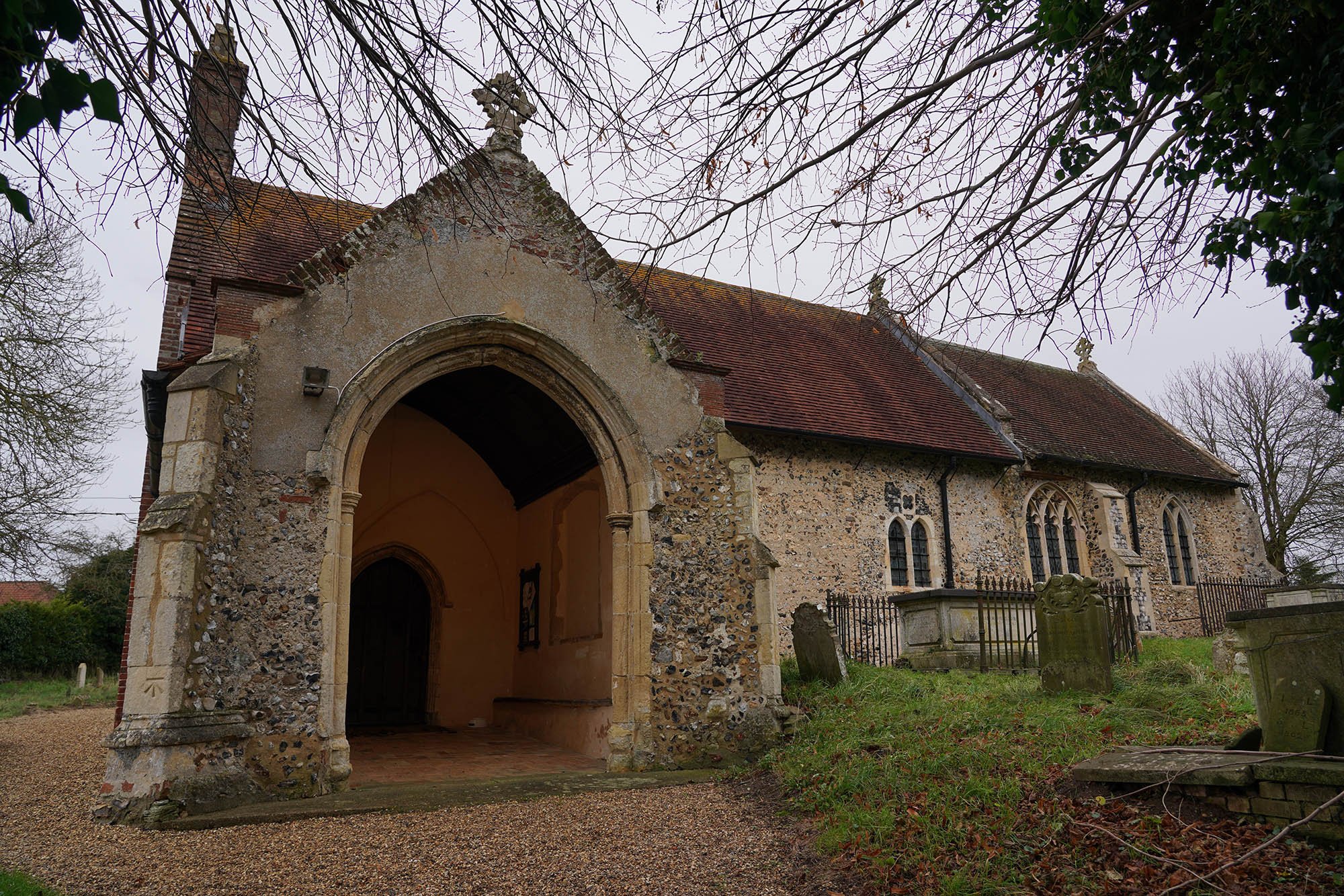
St Peters Church in Cringleford.

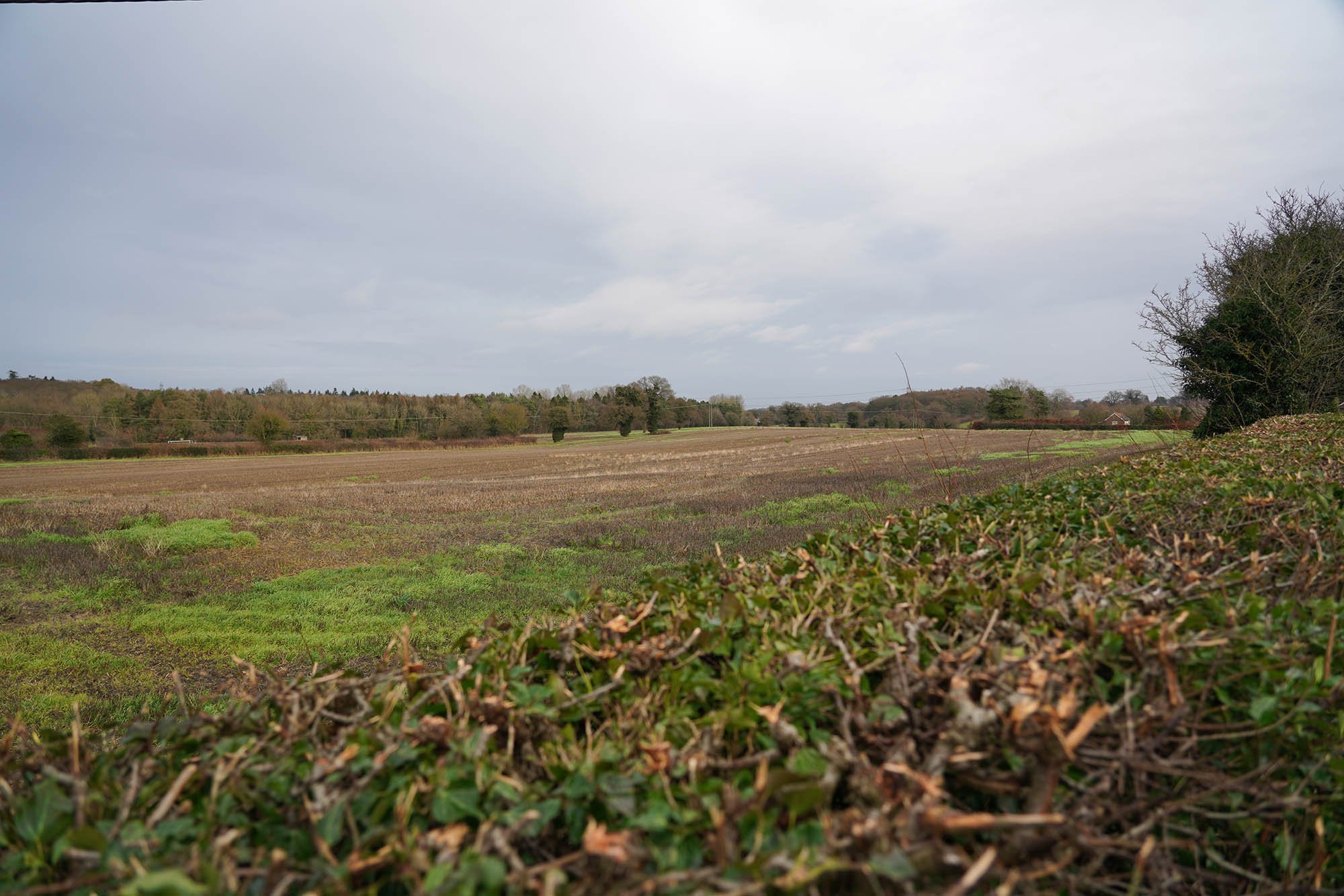
Following the waymarkers for the trail - intermittent at best for this part!

All Saints Church in Intwood - 12th Century.


A field with two random Chimneys in it… I guess a house once stood here.

Open flood plain and grazing fields.

Arriving in Mulbarton - one of the best places to stop on the first day and get a bus back into Norwich.

The village pond.

Mulbarton Church of St Mary Magdalene.

Now in Flordon and we took a detour to see the Saxon Church of St Michael.
We ended the day at Hapton where we left a car and returned back to the start.

Much nicer weather today on the second part of the trail as we leave Hapton.

After lots of heavy rain the river was very flooded in places.

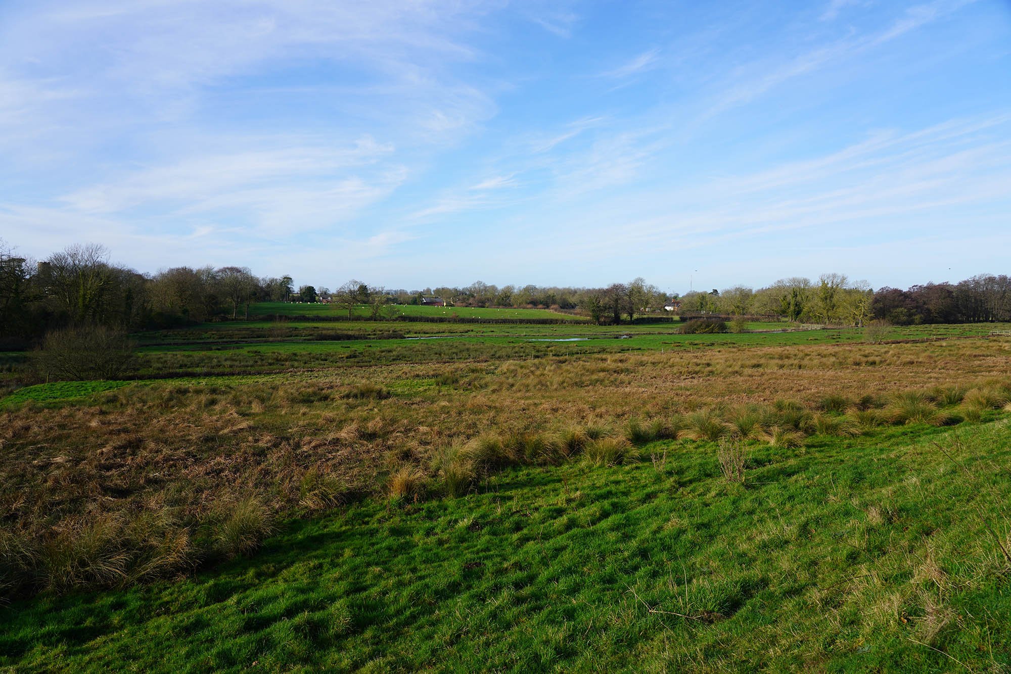
Following the edge of the marshes with the River Tas alongside.

The Church in Forncett St Mary.


Beautiful blue skies today.

Plenty of water flowing by one of the fords.

This really demonstrates what this walk is like, open fields, little habitation and classic Norfolk scenes.

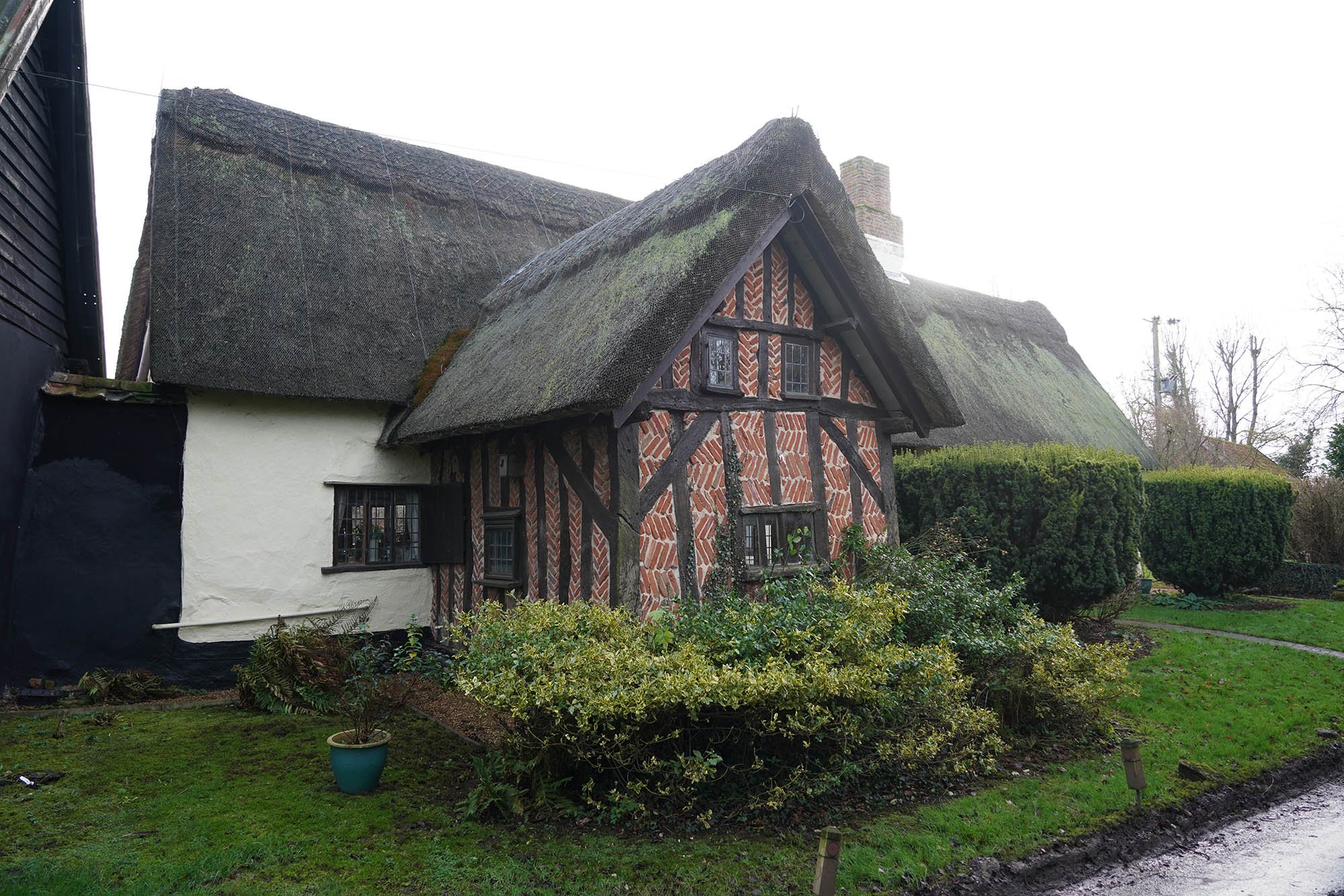
A house along the trail - likely Tudor.
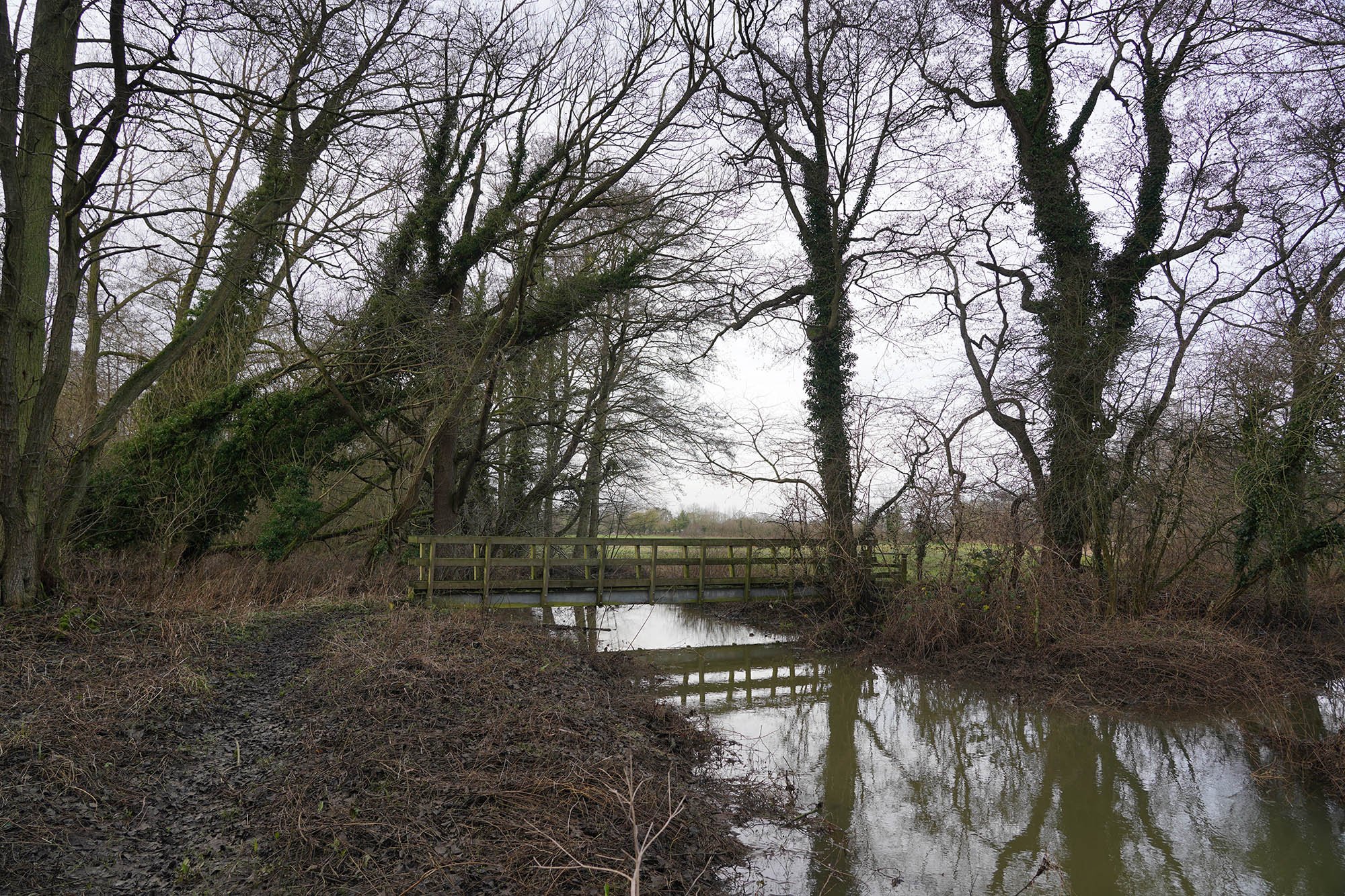
Heading through woodland and over the River Tas.

We finished the days walking in New Buckenham and this is the parish church.

A detour to see the this converted Chapel which I think dates to the 13th Century.

Heading over to Old Buckenham.

All Saints in Old Buckenham.

Old Buckenham Common.

A little detour to see Old Buckenham Mill.


Heading towards Attleborough.

Crossing the railway where we saw snowdrops and daffodils.

A lovely little trail now completed.