Norfolk Coast Path
Distance: 47 Miles
Start: Hunstanton
Finish: Cromer (Historically) - The route now finishes at Hopton after being extended
Day 1: Hunstanton to Burnham Deepdale - 21.2km (13.17 Miles)

Setting out from the Norfolk Coast Path sign at Hunstanton.
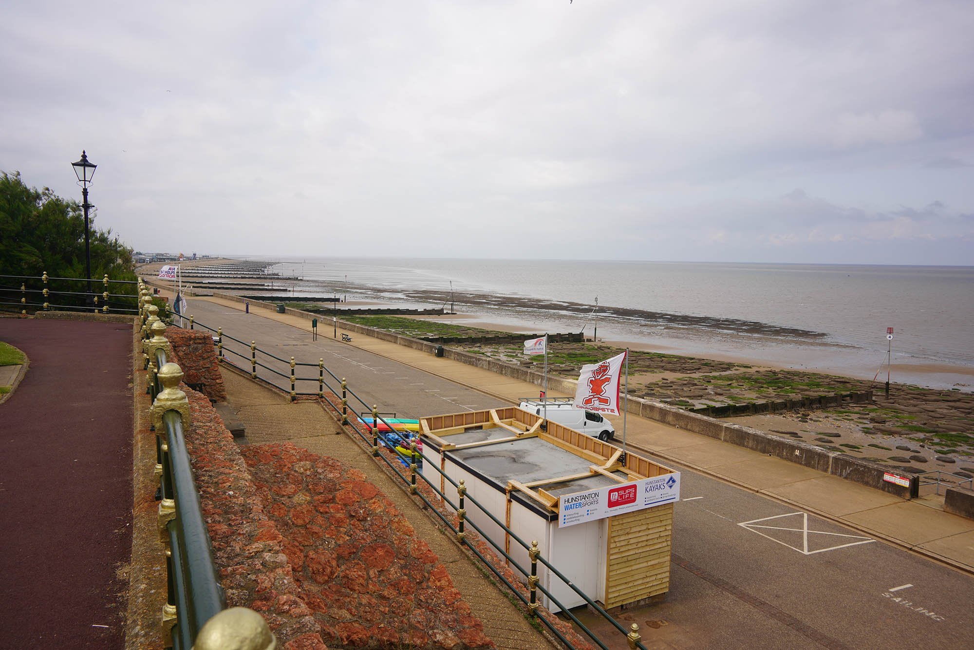
Hunstanton Beach very empty this morning.

Not a soul about.

St Edmunds Chapel ruins.

Hunstanton Lighthouse.

And the nearby Lookout.

The cloud moving away now and lovely blue sky as I stride along the beach at Old Hunstanton.

Lots of bird life in the tidal pools.


Passing the point where the Peddars Way meets the coastal path.

Lots of tidal channels around here and plenty of wildlife.

The North Sea by Holme Dunes Nature Reserve.

Broad Water at Holme Dunes.

Looking along Broad Water.

A detour to the Seahenge Site if time allows. Sadly not today for me.
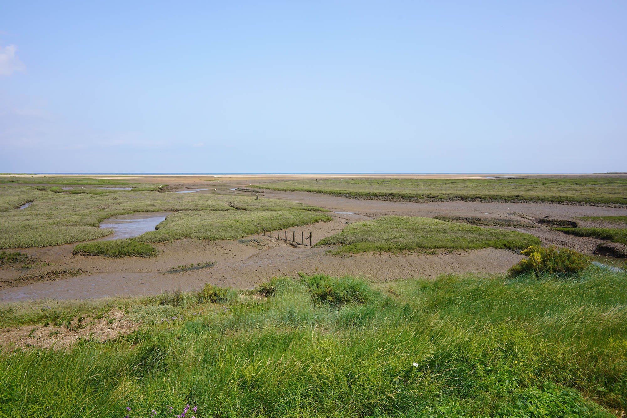
Hundreds of acres of salt marsh.
Nearing Thornham.

Thornham Church.
Just past Thornham the trail leaves the coast for a few miles.

Wild scabious in flower. It was just near here a horsefly had a nibble at my arm!


Brancaster Church.

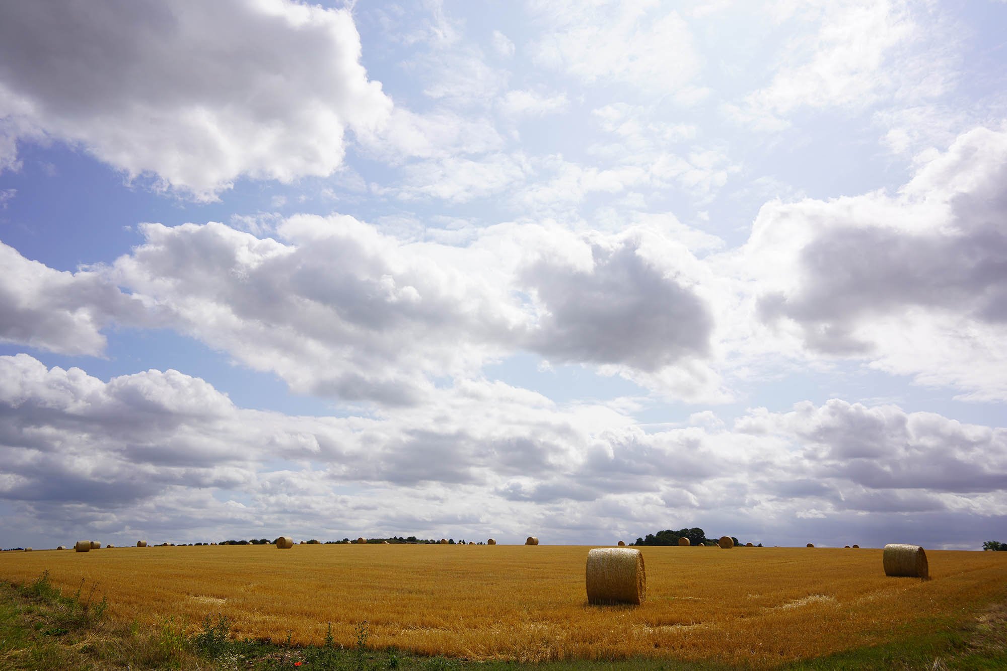
A classic Norfolk Coastal scene with vast open sky.

The site of Brancaster Roman Fort.

Nearing Brancaster Staithe.

Brancaster Staithe.


Continuing along the coast near Burnham Deepdale.

A little detour to Burnham Deepdale Church which I think has a Saxon round tower.
Day 2: Burnham Deepdale to Wells-next-the-Sea - 17.8km (11.05 Miles)
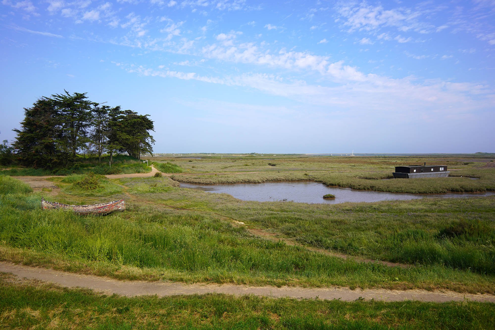
This section from Burnham Deepdale round to Burnham Overy Staithe is littered with abandoned boats.
Looking inland around Deepdale Marsh.

The raised path beside the marsh.

Deepdale Broad.

Approaching Burnham Overy Staithe.


Burnham Overy Mill.

Burnham Overy Staithe.

The next section follows the edge of Overy Creek to Holkham Gap and Holkham Beach.

A view back to Burnham Overy Staithe.

Overy Creek.


Reaching the Dunes at Holkham Beach.

Now at the beach which is followed for 2 miles to Holkham Gap.


Holkham Beach.
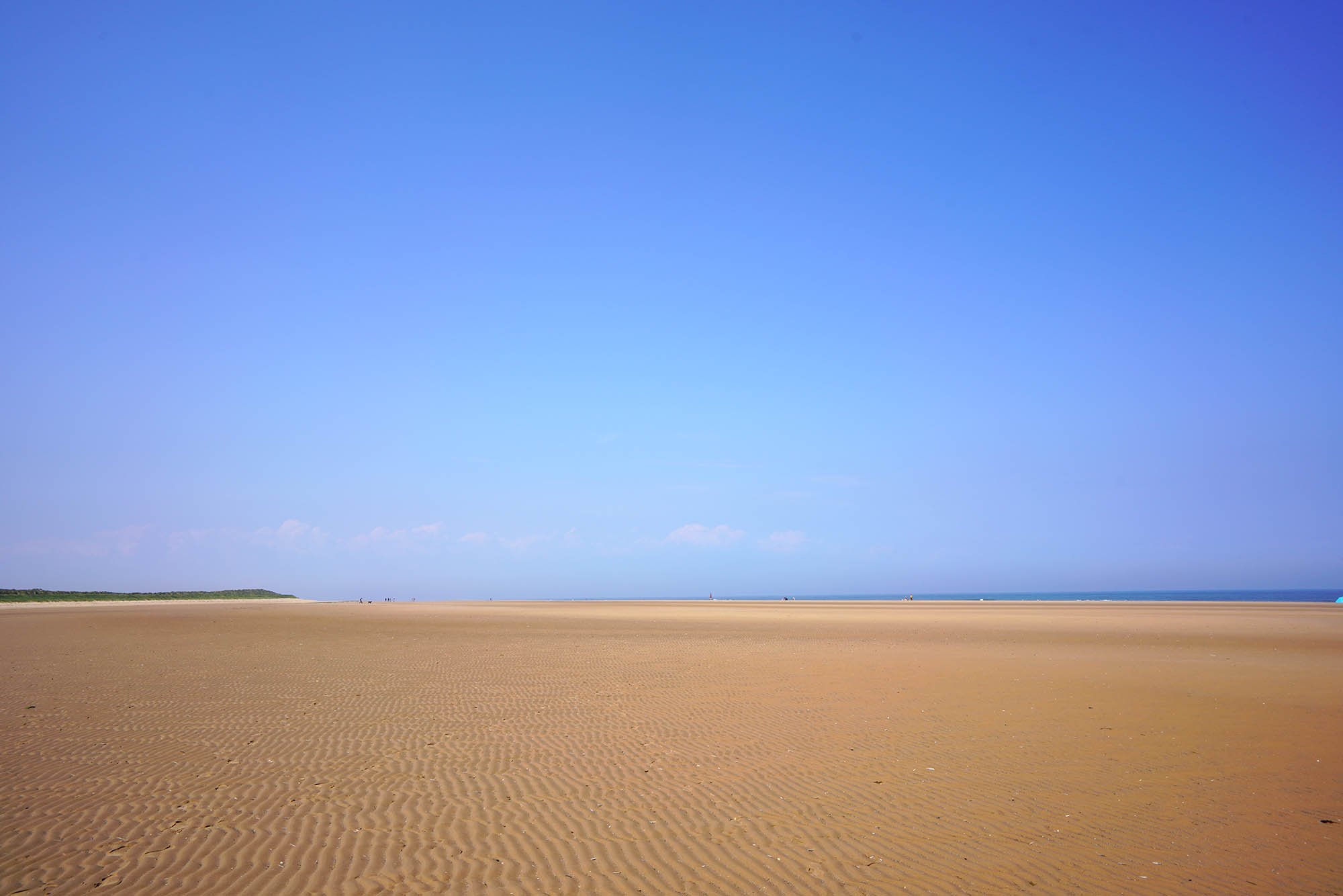
One of the most famous and popular beaches in Norfolk.

Following the edge of the beach and woodland.

A cafe at Holkham Gap.

The path continues to Wells from Holkham Gap behind the trees which blocks the view out to sea but allows for views inland like this.

A small boating lake just north of Wells.

Following the bank down to Wells next the Sea.

Wells-next-the-Sea.
Day 3: Wells-next-the-Sea to Cley-next-the-Sea - 17.6km (10.93 Miles)

Wells staithe.

The sea wall along the marshes.

Remains of an old creek which has been blocked off by the sea wall now.
Looking back to Wells.

Traces of an old footbridge over the marshes.
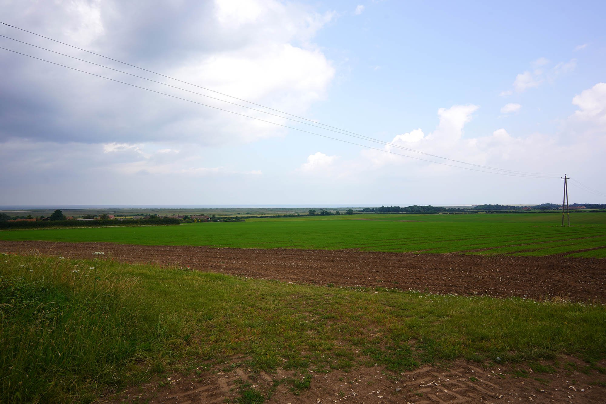
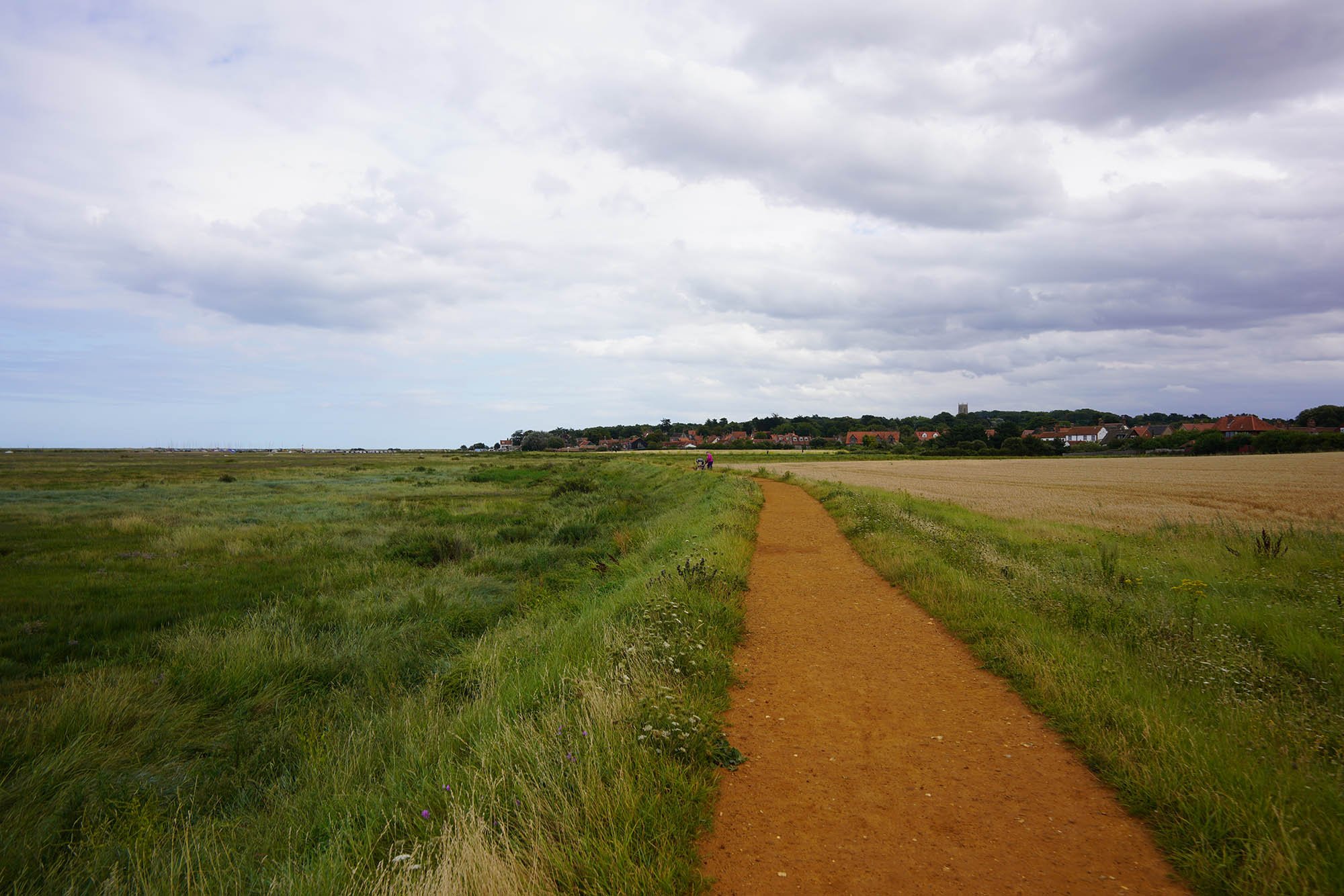
Where agriculture meets the marsh.

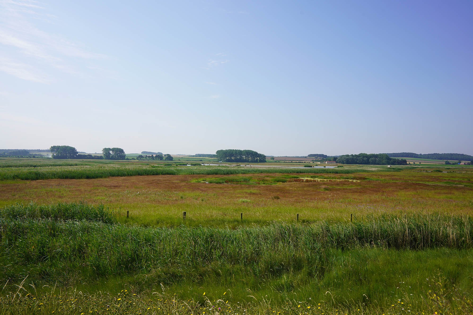
Vast open saltmarsh.


A little creek along the path at Warham Salt Marshes.

Looking back along the sea wall.

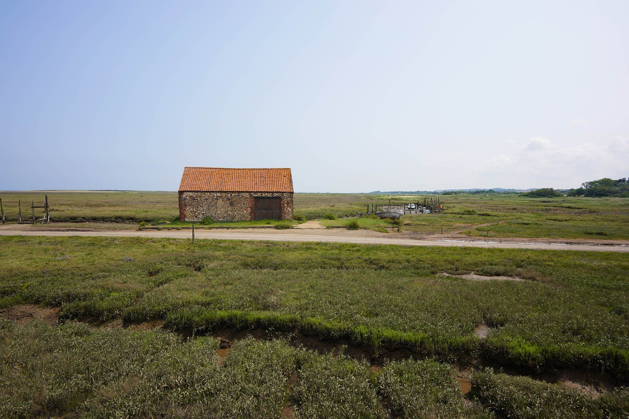
Freshes Creek near Morston.

At Morston Quay there is a chance for refreshments at a National Trust Shop before continuing along the sea wall.

Only just over a mile to Blakeney, a very popular Norfolk coast destination for tourists!
Blakeney up ahead.
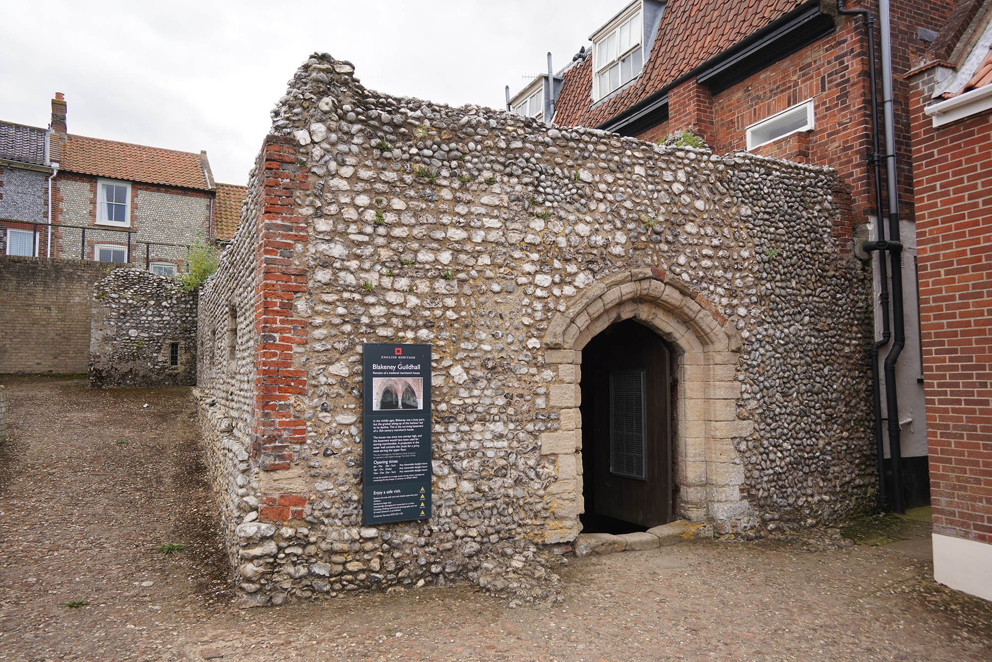
Blakeney Guildhall.

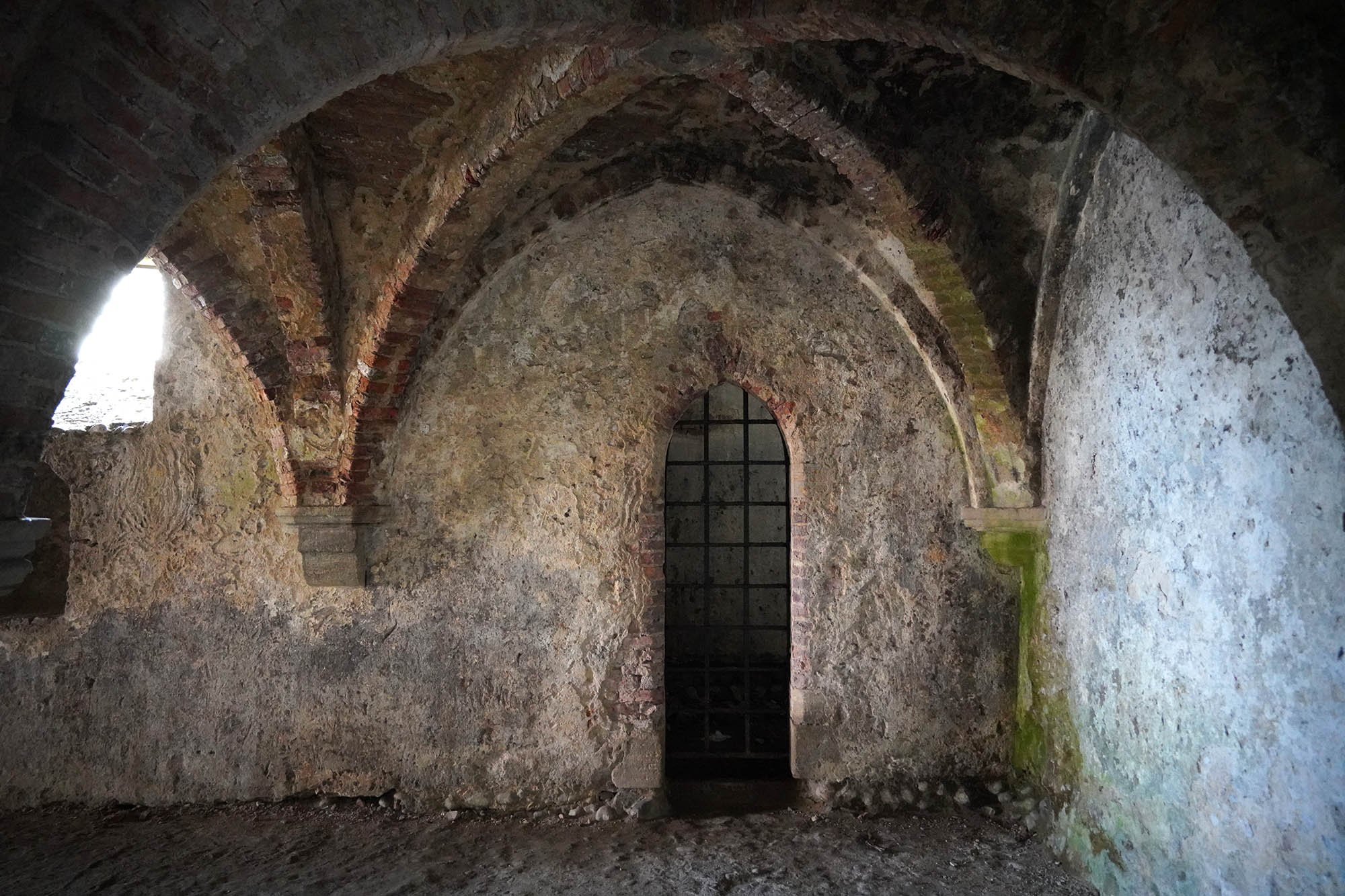
Inside the Guildhall.

Last few miles to Cley.

Blakeney Marshes.

A view inland from Blakeney Marshes.

Cley next the Sea and Cley Mill.
Day 4: Cley-next-the-Sea to Cromer - 20.9km (12.98 Miles)

Cley Mill.

For those with maximum budget - its possible to stay overnight here.

Following the edge of Cley Marshes Nature Reserve to the sea.

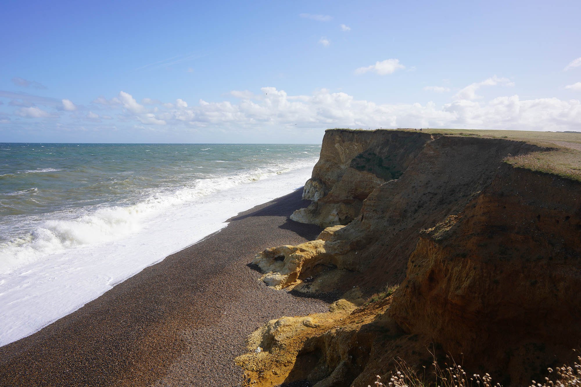
As I join the coast I get hit by the strong northerly wind.

Big crashing waves today.
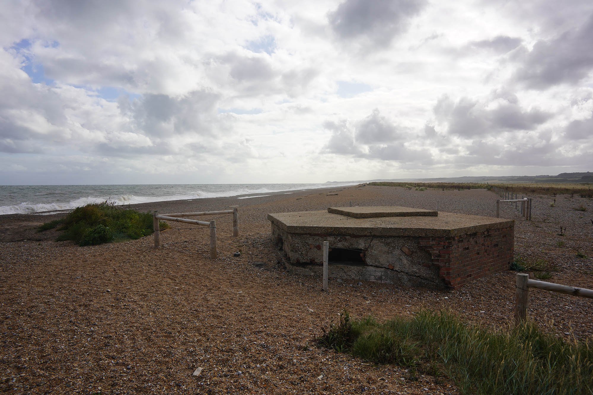
A pillbox on the edge of Cley Marshes.


Following miles of shingle was hard going!

More WW2 remains at Little Eye.

The first of many hills to come. Gramborough Hill, a whopping 32ft above sea level.

Nice views back along the coast.

The final section to the clifftop path follows this path behind the shingle.

Beyond Gramborough Hill the path skirts the Muckleborough Collection - a fantastic collection of tanks and artillery.

More WW2 Remains at Weybourne. No more shingle - thank god! Very tough on the legs!
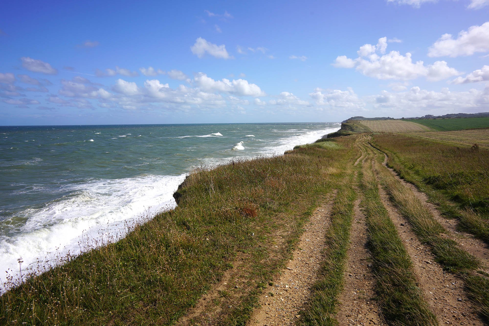
The clifftop path now begins towards Sheringham.

Following the clifftop path.
A brief section inland and then back to the clifftop path.
Skelding Hill in the distance and its Coast Watch Lookout.

Some of the best walking in the last few days! Loving this bit!

Entering the national trust land.

Edging closer as I pass the Golf Course.

I’ve been to that high point before and know the view is outstanding from up there.

The view back from near Skelding Hill to the West.

The outstanding view from the lookout point.
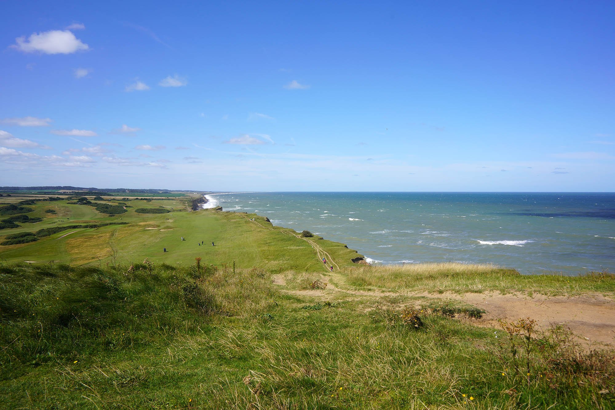
The more impressive view west from Skelding Hill.

Rough seas at Sheringham.


Sheringham from the Trig Point on Beeston Bump.

Looking East you can make out the church at Cromer near the end of the trail.

West Runton church behind a pond.

Cromer Pier. The end of the National Trail and a superb walk through the Norfolk Countryside and Coast.