Gipping Valley River Path
Distance: 17 Miles
Start: Stowmarket
Finish: Ipswich Docks
The Gipping Valley River Walk is a 17 mile long waymarked trail which follows much of the River Gipping into the town of Ipswich. Almost all of the trail hugs the riverbank with only a few sections away from its gently flowing waters.
Part 1: Stowmarket to Needham Market (7.14 Miles)

The information board at the trailhead.

The first few miles runs through Stowmarket and many industrial units making it a rather uninteresting start to the walk.

A few signs along the trail.

The first of the 15 Locks along the route: Stowupland Lock.

Several information boards along this Lock.

Following the waymarks...

I’m on the edge of Stowmarket now although it think its a little further than 2.5miles to Needham Market.

Another Lock along the river.

Looking downriver.

Even though it is winter, there wasn't much wildlife along the river.

Larger waymarks in Needham Market.

The River Gipping.

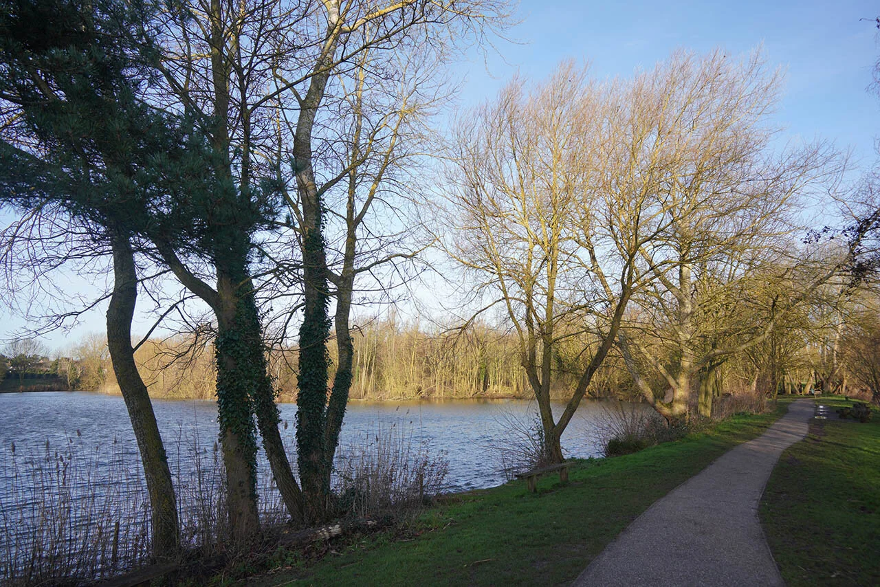
Arriving at Needham Lakes.

Sculptures at Needham Lakes.

A dull scene at Needham Lakes today.
Part 2: Needham Market to Great Blakenham (6.64 Miles)
A rather sunnier scene at Needham Lakes compared to last time I was here.

Following the path south.

The private fishing lakes at Needham.

Bosmere hall overlooking the river.

One of the best preserved Locks on the route so far.

Complete with a narrow bridge over the river.

There was a lovely new information board here showing all of the locks on the route. Currently I’m at Creeting Lock.

Beautiful day for a walk.

Pipps Ford Lock.

Looking back along the riverbank.

A very flooded section of the path. It was about 1.5ft deep so had to walk around - many people had created a path round to avoid this section so I guess it floods a lot? We have also had a large amount of wet weather which will cause me to delay the final section of the walk later on.

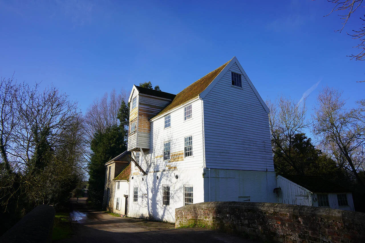
Baylham Mill.


This Lock was about half a mile from the end of this section. I had planned to complete the whole remainder but as I reached the riverbank path further down the river had completely flooded the path in over a foot of water...
Part 3: Great Blakenham to Ipswich (8.26 Miles)

After giving it a week to drain some water it was time to head out and finish the Gipping River Valley Path and this time I was walking with my friend Megan.

Following the riverbank path.

An old mill and Lock.


Megan enjoying the view along the river.

The sun began to shine as we entered Bramford.

Bramford Church.

The riverbank path.

Arriving at Sproughton.

The scene was stunning with the sound of running water, the nearby church and Mill.


Now arriving into Ipswich.

Approaching the end of the trail.

The official end of the trail is here but we carried on into the harbour.

Why end back there when you can end here overlooking the docks.

Several interesting buildings around the docks.

And luckily for us even the Noah’s Ark was docked here!