Peddars Way
Distance: 74km (46 Miles)
Start: Knettishall Heath, Suffolk
Finish: Hunstanton, Norfolk
The Peddars Way forms the first half of the National Trail known as the Peddars Way and Norfolk Coast Path and largely sticks to the line of an ancient Roman Road which ran up the county to the coast near Holne-next-the-Sea.
Along the way the route crosses the Brecks, a unique landscape of pines, heath and acid grassland and vast open Norfolk countryside. The tiny village of Castle Acre is situated at the midpoint and offers visitors the spectacular remains of its Norman Castle and Priory - a must see for any visitor! Beyond the path is the most direct yet, following 16 miles of Roman Road to an overnight stay in the historic village of Sedgeford followed by a shorter day following the vast open sands round to Hunstanton.
From Hunstanton the Norfolk Coast Path is then followed east to Cromer, a further 47 Miles away.
Day 1: Knettishall Heath to Little Cressingham (24.1km)
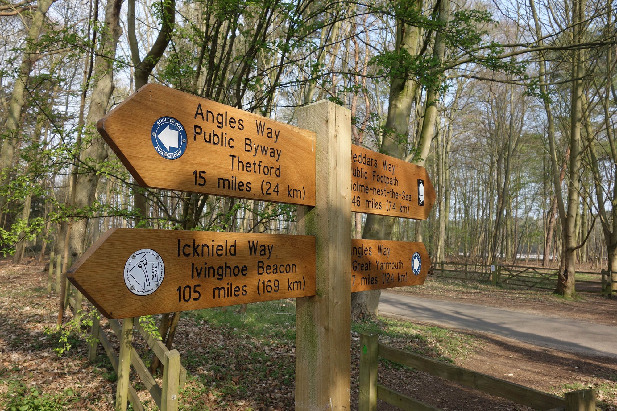
The sign at Knettishall Heath marking the beginning and end of many long distance paths including the Angles Way, Icknield Way and Peddars Way.

The other trails are on my ‘list to do’ but today marks the beginning of the Peddars Way.

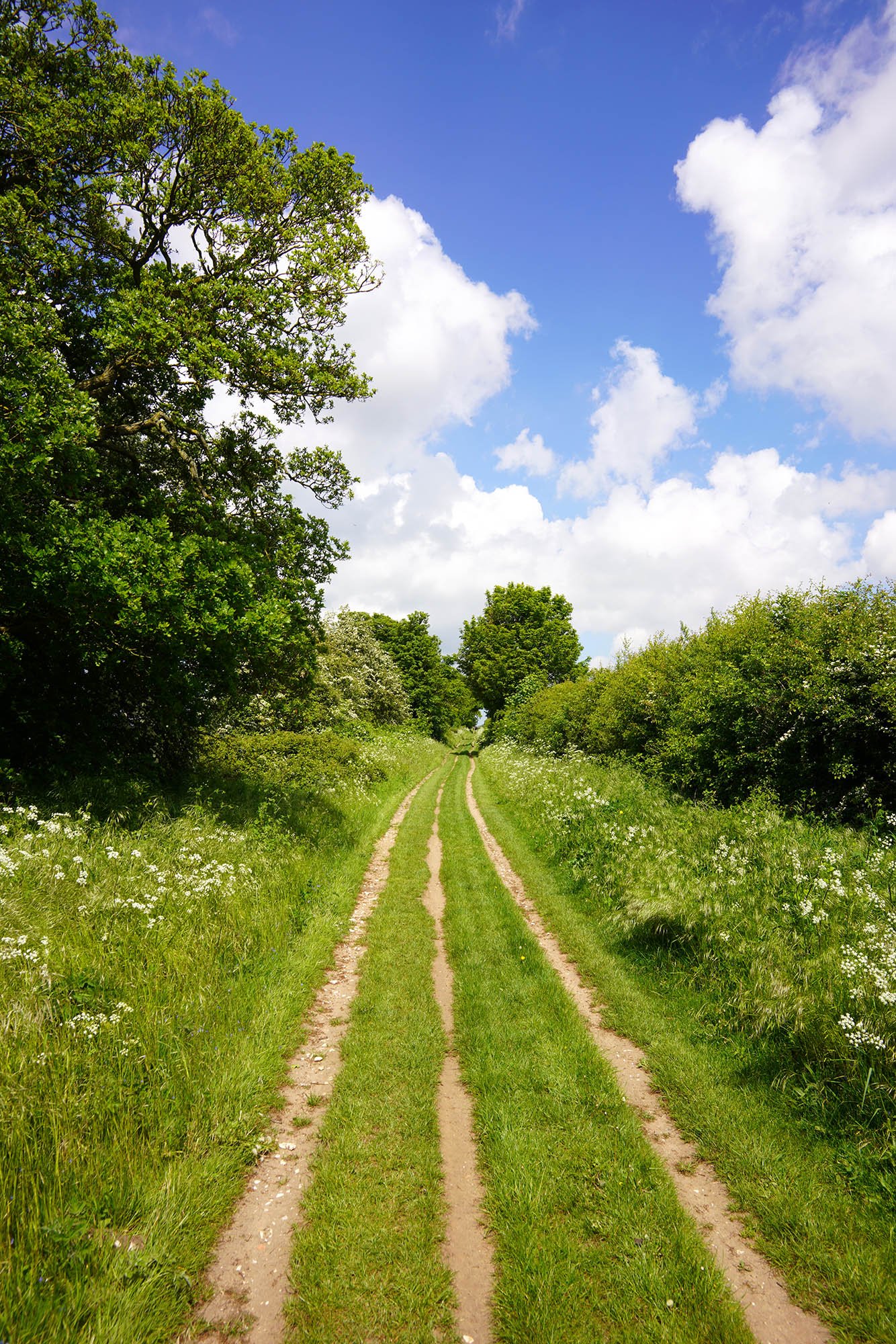
Following the line of the Roman Road through the woods at Knettishall Heath.
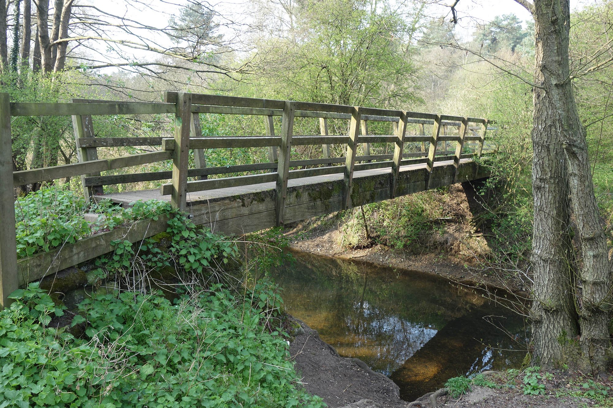
The footbridge over the Little Ouse River.

Follow field edges through the Brecks.

The River Thet.

Following the trail towards the A11.

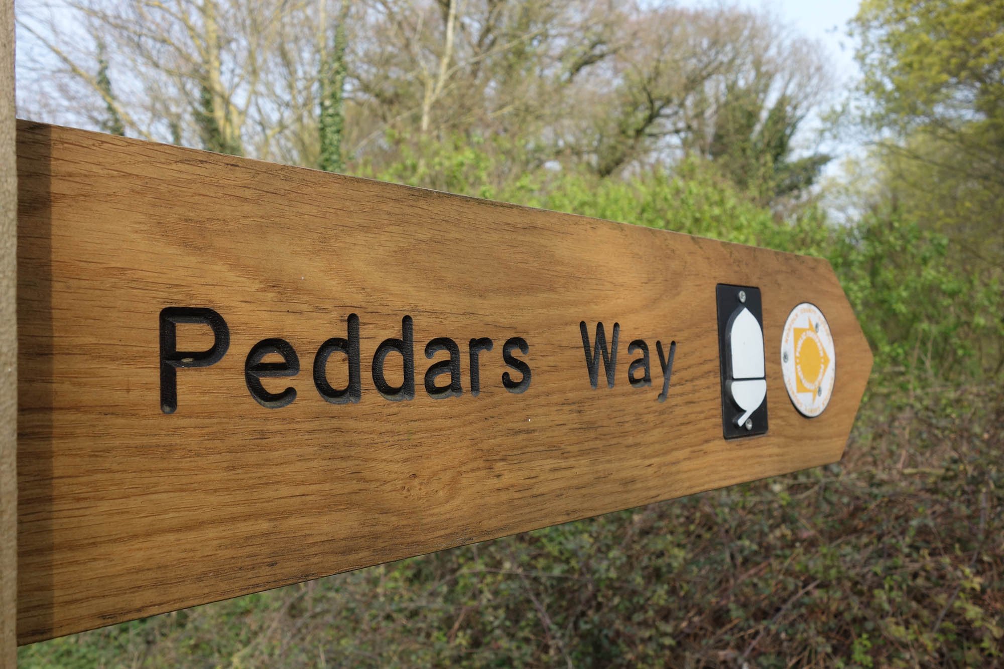
Being a National Trail, the route is exceptionally well waymarked.

4 Miles in and we have just crossed the busy A11 dual carriageway. Its a shame there is no underpass as it was horrible to cross. 42 Miles to go!

Nick joined me on this first day of the trail. Here we are heading towards Stonebridge.

Signs of the old railway line that passed through Stonebridge.

A mill in Stonebridge.


Almost half way and from here we followed about a mile of country lane.

One of several large standing stones on the trail inscribed with a poem.
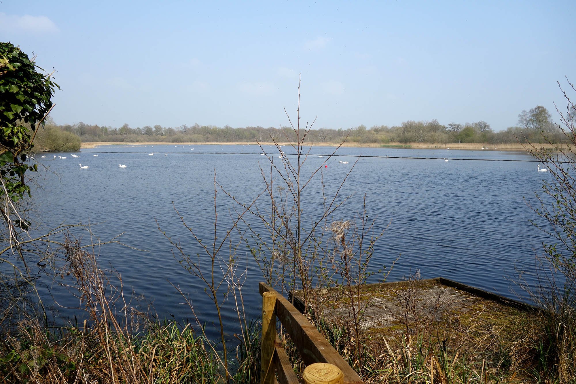
Thompson Water Nature Reserve.

The next few miles sticks to the Roman Road again making it a very straight line.


Fields of yellow rapeseed.

The ruined church in Little Cressingham (minor detour)
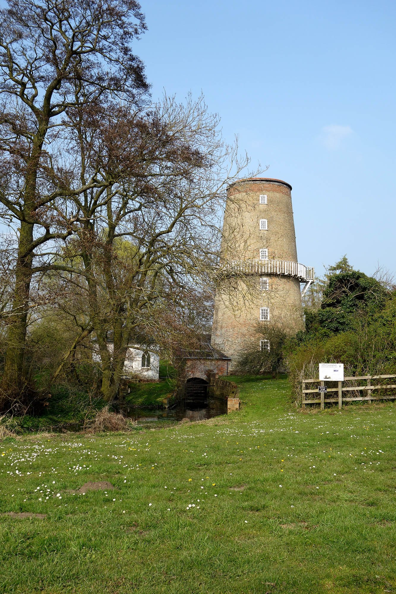
And Little Cressingham Mill.
Day 2: Little Cressingham to Castle Acre (20.8km)

The opening stretch from Little Cressingham sticks to country lanes for several miles before crossing meadows and picking up the Roman Road once again.

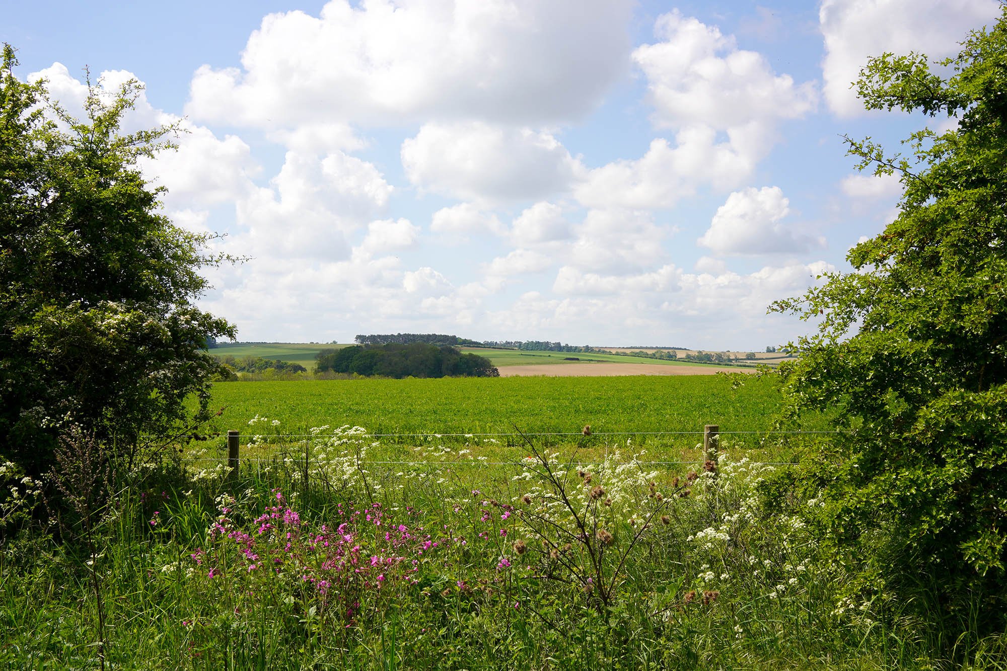
Open views across the nearby fields.

A view back to Little Cressingham.


A view across to Pickenham Hall.

Finally off the tarmac and now heading down to cross some meadows towards North Pickenham.

The wind turbines at Swaffham not far away now.


Crossing the upper most reaches of the River Wissey.

Approaching North Pickenham.

North Pickenham. Beyond here the Roman Road is joined to cross the A47 towards Great Palgrave.

Although it might not look like much, this was the site of the disserted medieval village of Great Palgrave with lots of earthworks around.
Earthworks visible between the trees.

And more lumps and bumps here. It was possible to make out the main road through the village and individual properties.

Views across the fields towards Castle Acre.

The village now in sight.

Castle Acre is an amazing historic village that built up around a huge Norman Castle. The first historic treat you see are the ruins of Castle Acre Priory. Managed by English Heritage, its worth looking around for an hour or two (entry fee).
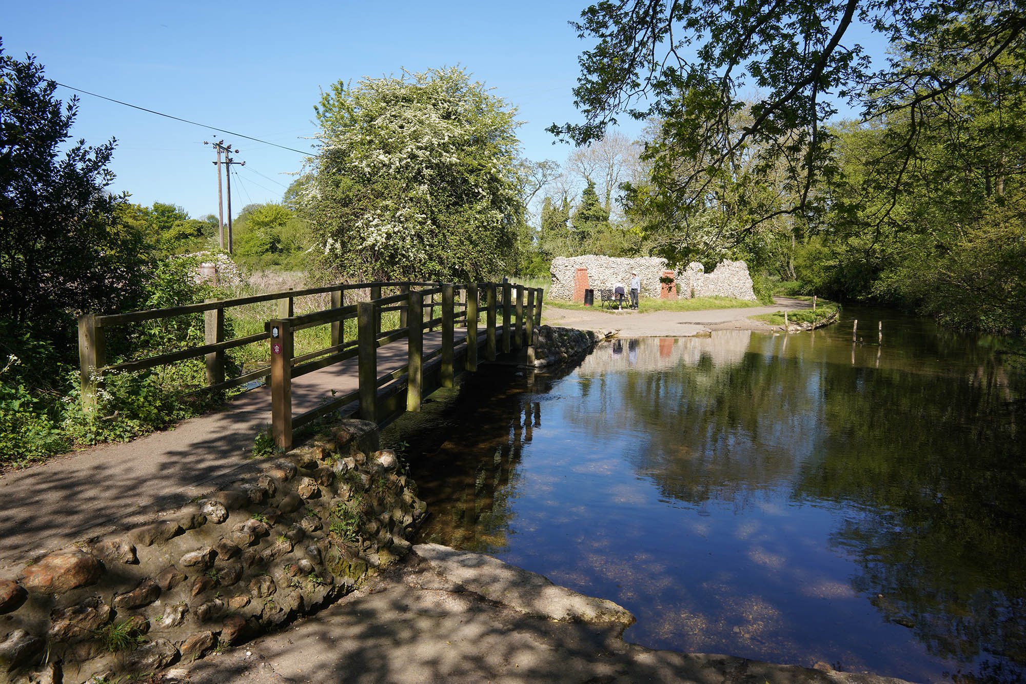
Crossing the River Nar by the precinct wall.

The River Nar and Castle Acre Priory.

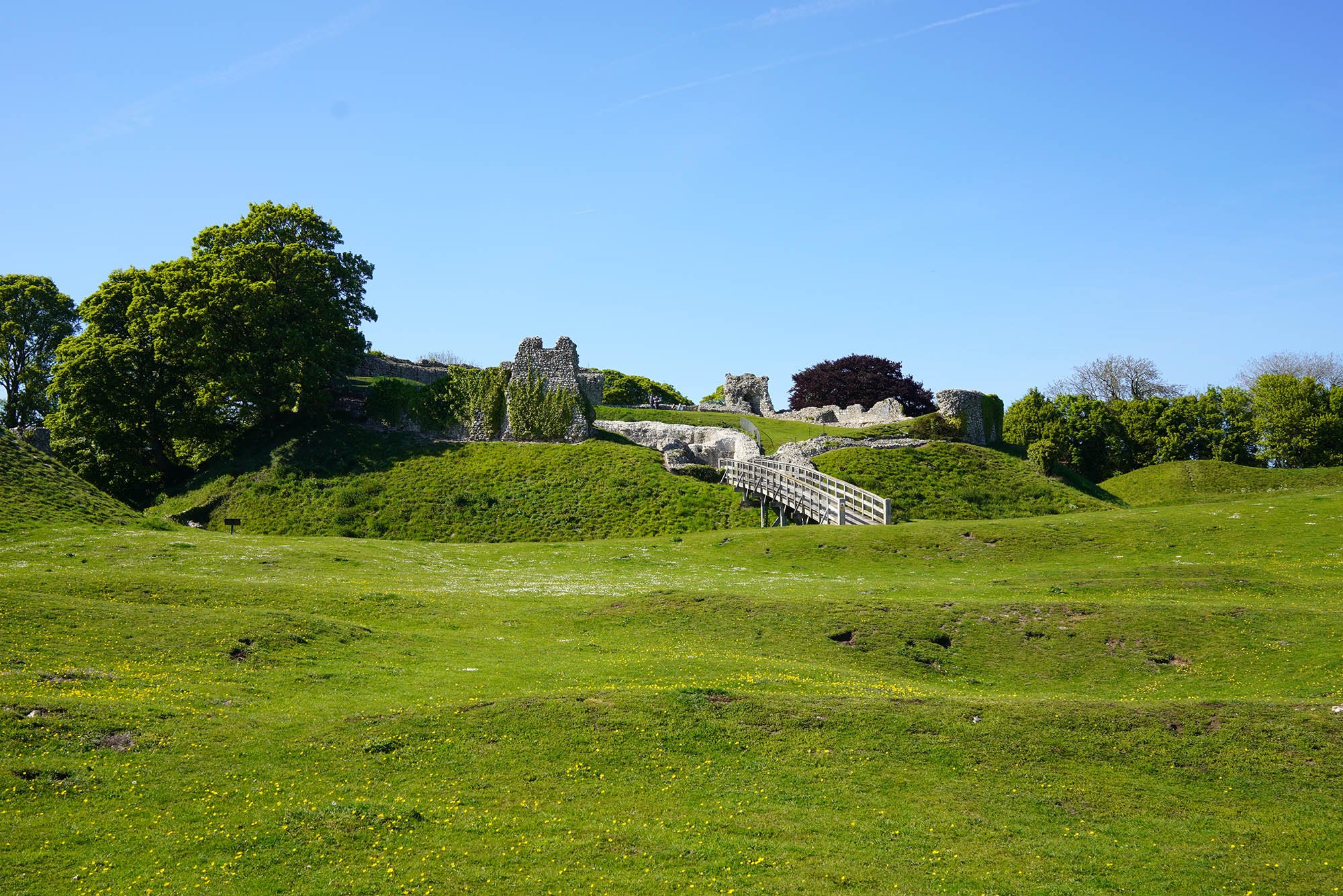
As you enter the village, a tiny detour to the Norman Castle is a must! Look at the size of this fortress (free entry).

Such an amazing place to explore.

The remains of the Keep.


The Gatehouse.

The Bailey Gate.
Day 3: Castle Acre to Sedgeford (26.2km)

Leaving Castle Acre behind me.

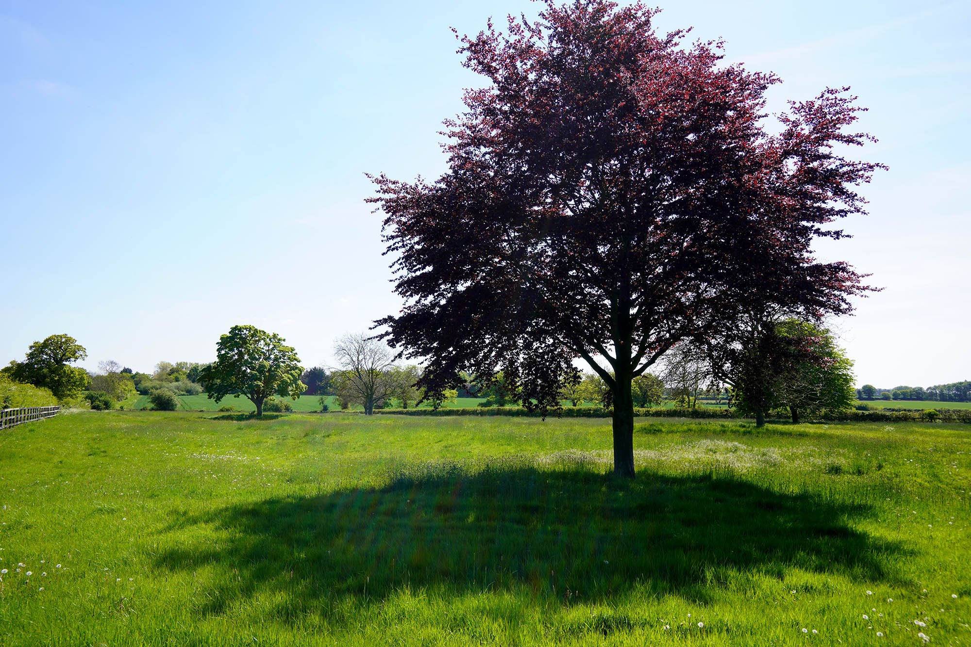
Rich greens and blue skies today.

A trig along the Roman Road at 92m above sea level.


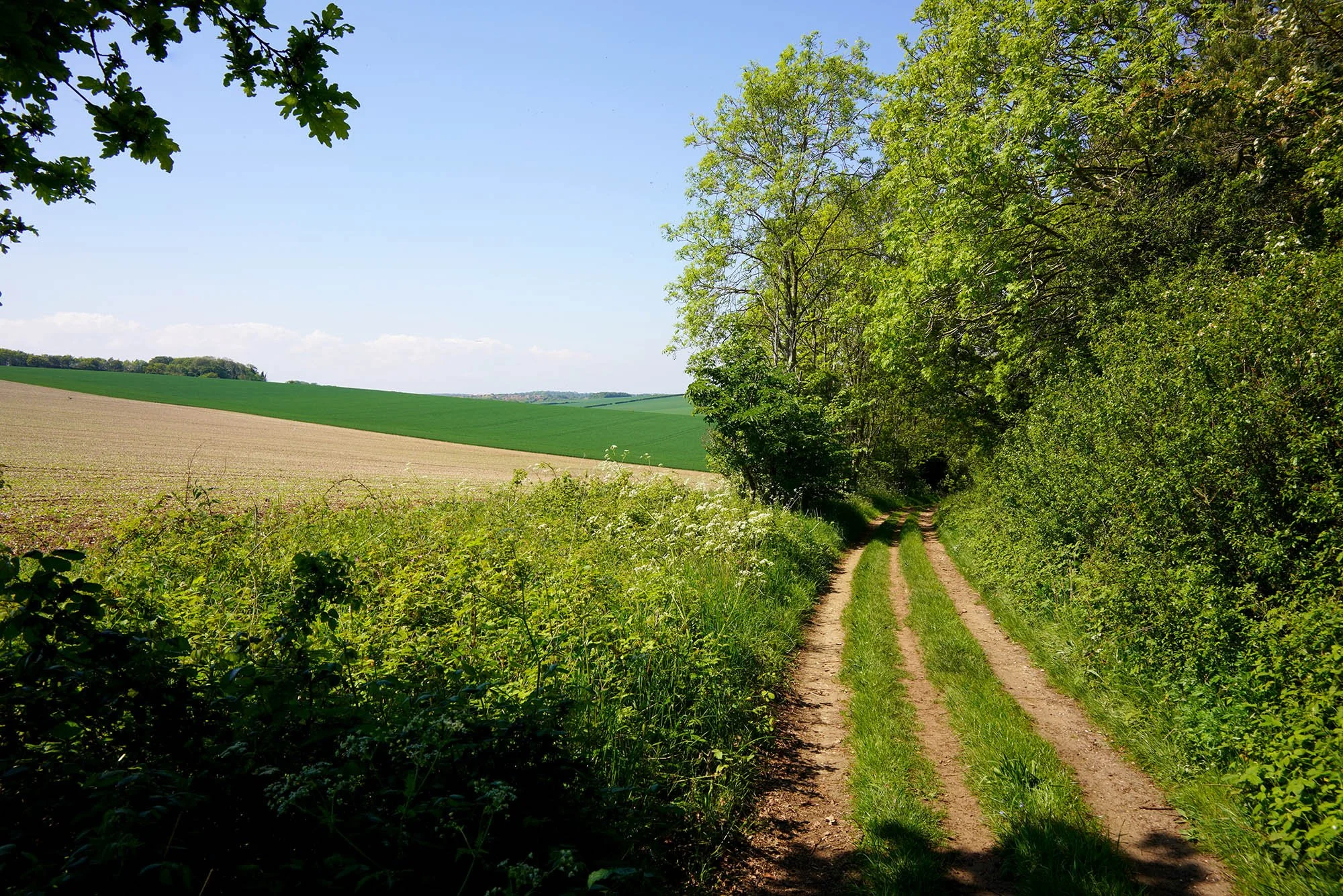
The entirety of todays walk sticks to the line of the Roman Road making progress quick but the path itself uninteresting as you just have to walk in a straight line! There was plenty to see along this stretch though!

92m above sea level might not sound much but the little height allows for some more distant views.


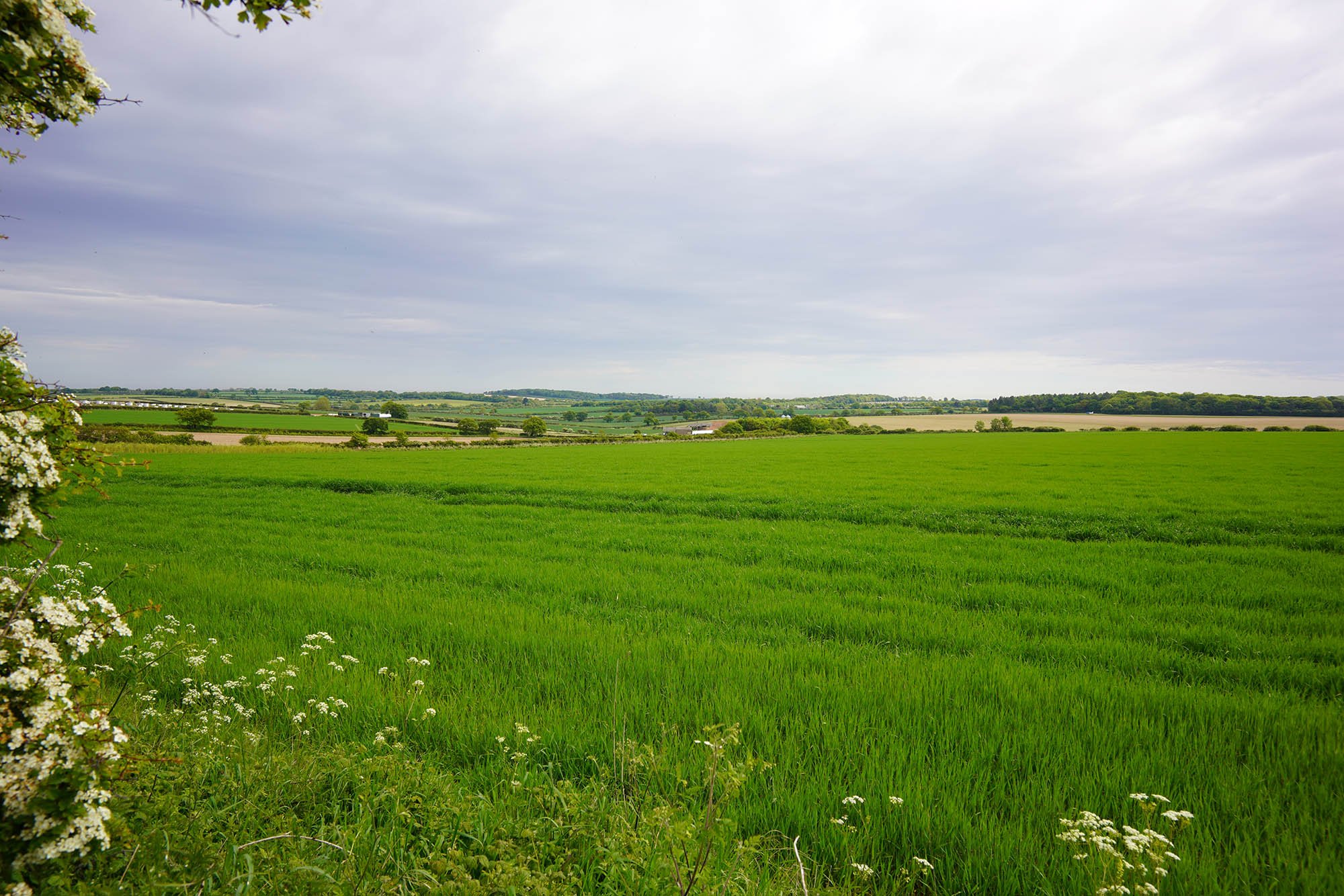
Traditional Norfolk view.
The Roman Road.
Plenty of wildflowers out today and the bees loving them.

As I got closer to Anmer there are several ancient burial mounds likely dating to the Bronze Age.

Straight as an arrow.

Countryside views.

On the horizon is Great Bircham Mill.


The tiny village of Fring.
Things are starting to get a tiny bit hilly again (for Norfolk!).


Last bit of uphill before turning left into Sedgeford.

Lovely Wisteria starting to flower in Sedgeford.

Overnight accommodation for tonight. Tomorrow, the last day of about 10 miles to Hunstanton.
Day 4: Sedgeford to Hunstanton (16.8km)

Magazine Cottage, once used to store ammunitions.

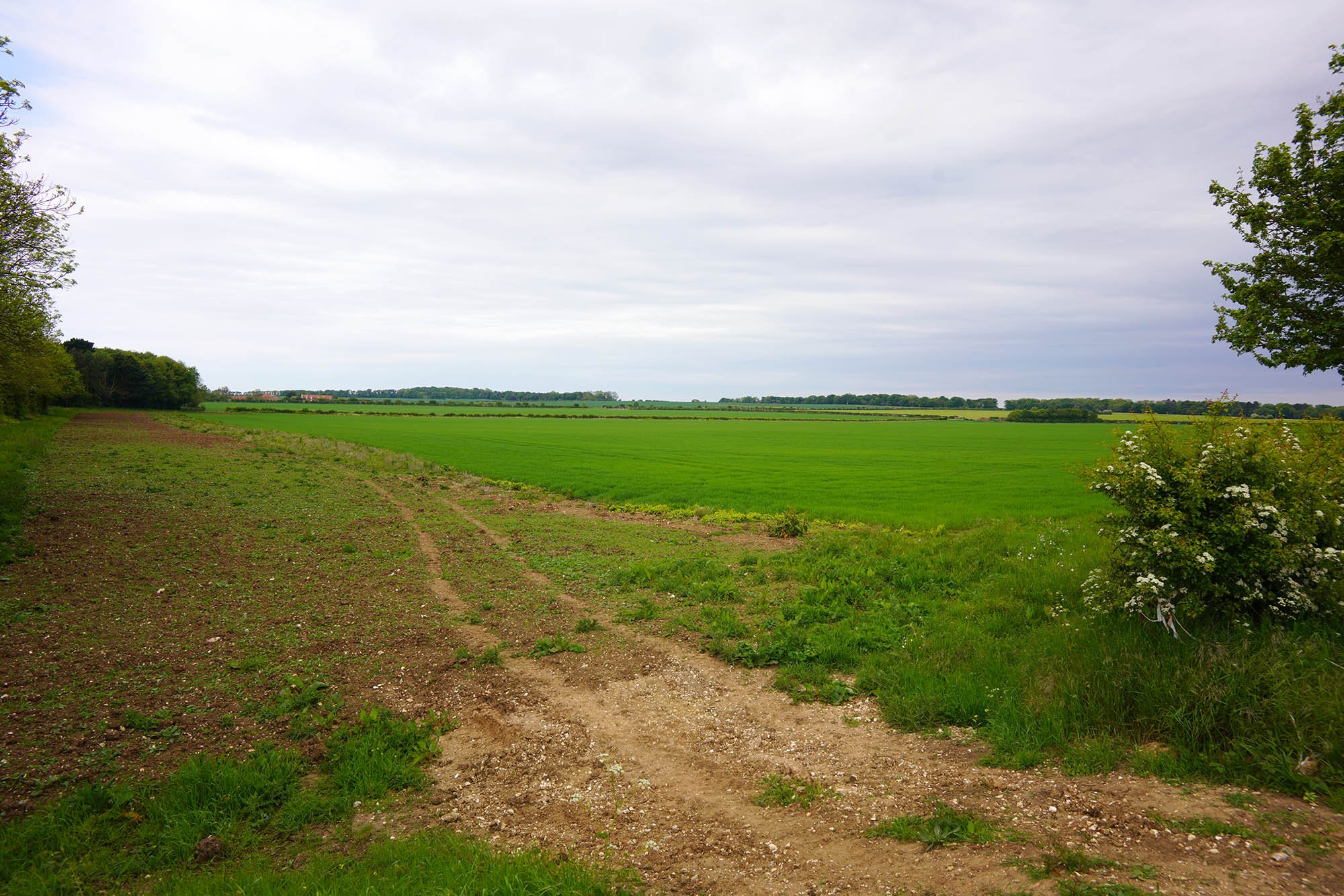
Not quite as bright today as I look over the flat fields south of Ringstead.
Better views over this way!

Pretty house in Ringstead.

The Gin Trap, Ringstead.

Now leaving Ringstead via a Mill.

Ringstead Mill.

My first view of the sea and its so close!

The North Sea and in the distance the Lincolnshire Coast.


The official end of the Peddars Way part of the National Trail. More often than not people turn left here and continue to 2 miles into Hunstanton before starting the Norfolk Coast Path.

Vast open sands and dunes around Holme-Next-The-Sea.


This section follows the beach.
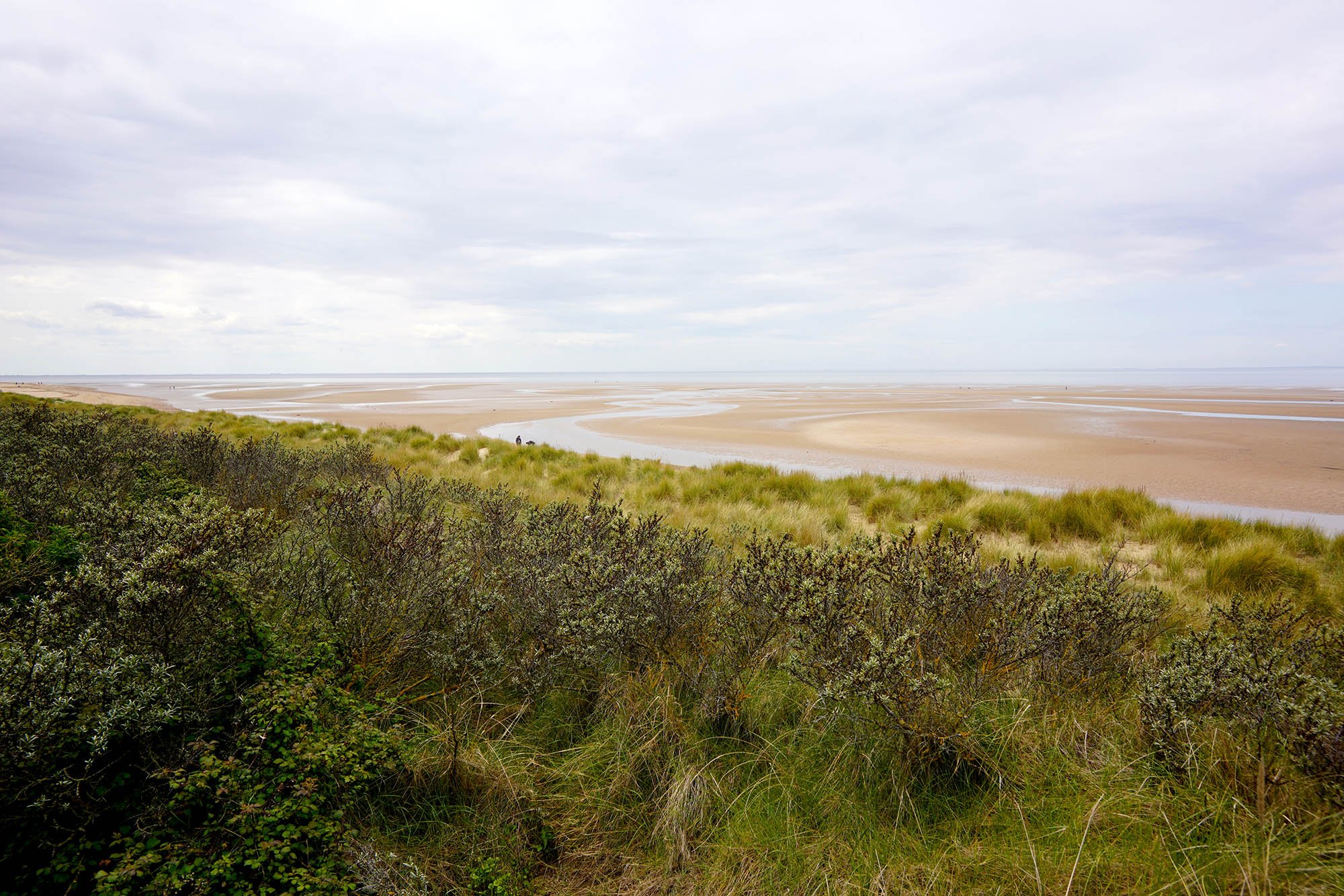
Miles of flat sands and water channels.
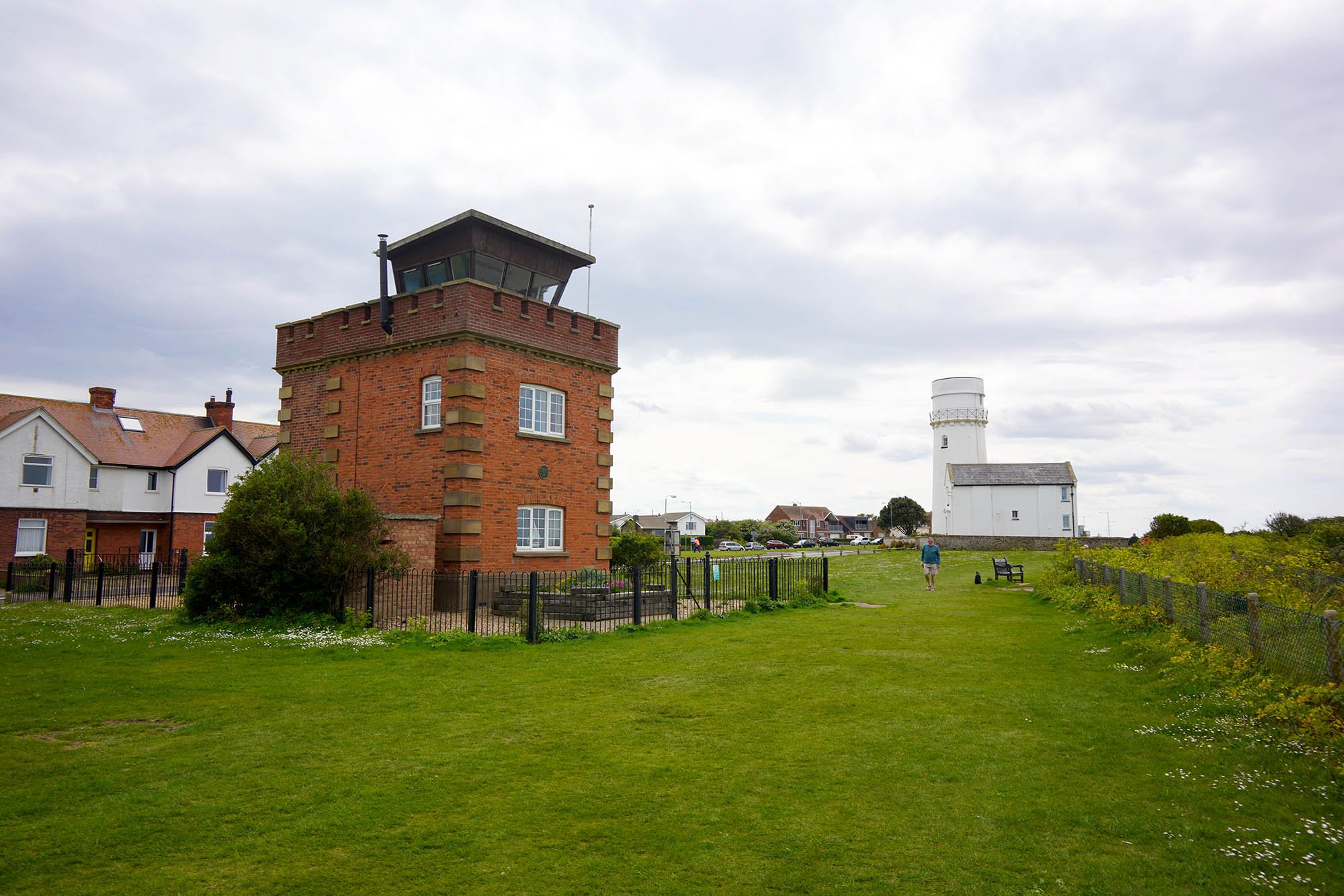
The coastguard lookout and lighthouse in Hunstanton.

Hunstanton Lighthouse.
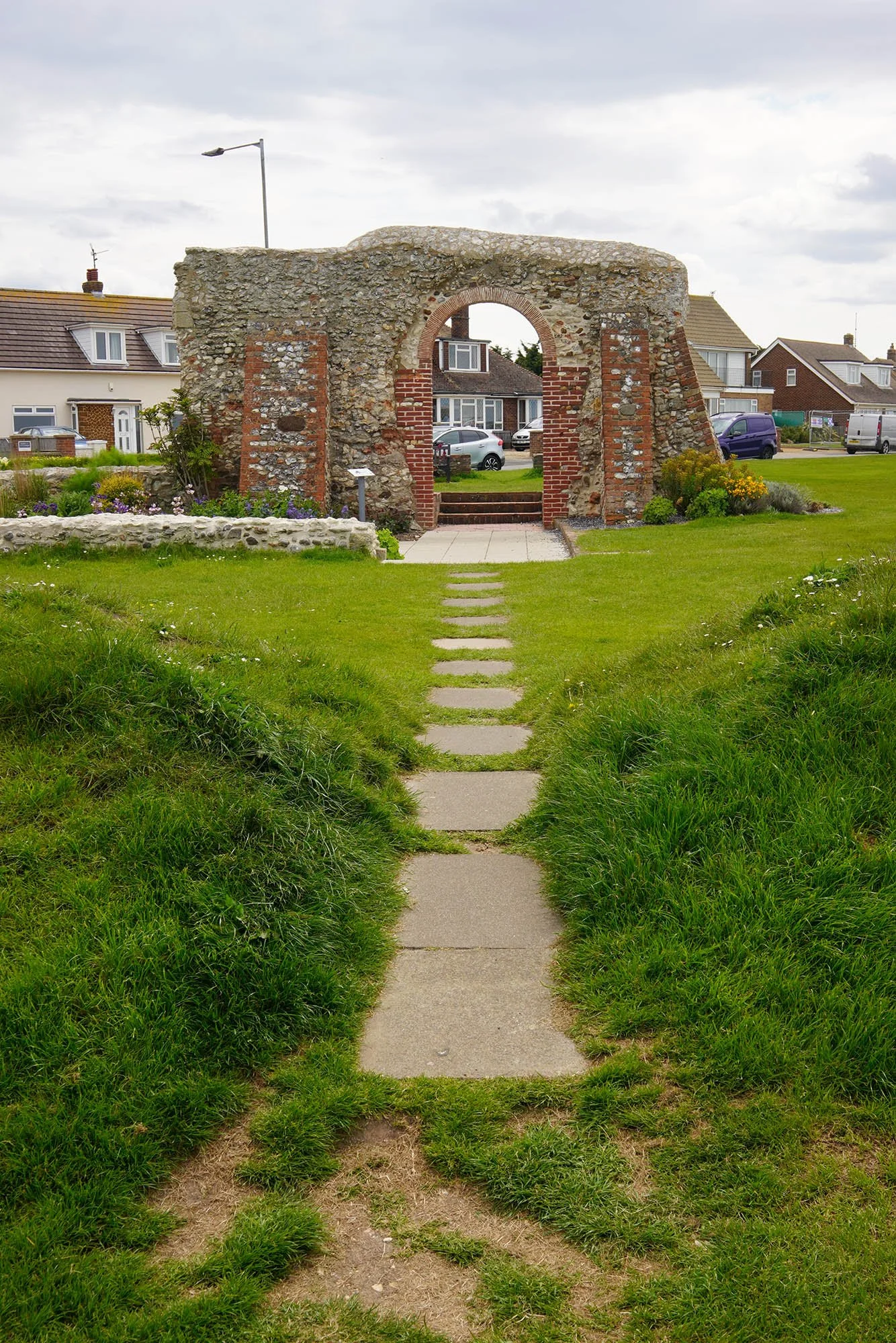
The remains of St Edmunds Chapel.


The iconic brown and white cliffs of Hunstanton. I decided to head down onto the beach and look for a wreck just by the cliffs.


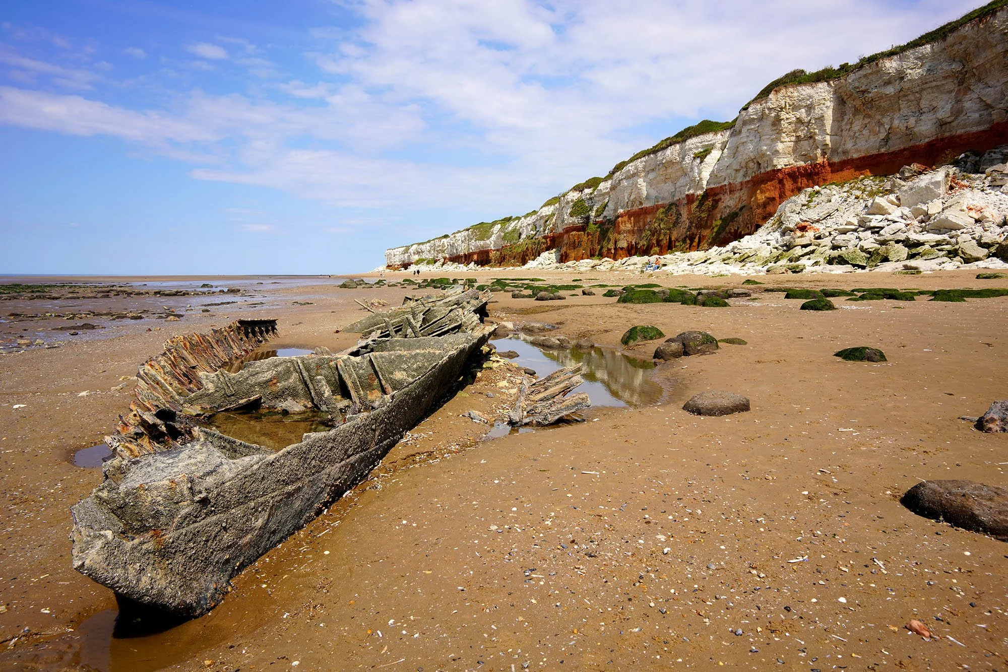
The wreck of the S T Sheraton. History on this wreck can be found here.

