Boudicca Way
Distance: 58km (36 Miles)
Start: Norwich Train Station
Finish: Diss Train Station
The Boudicca Way is a long distance trail through the rural, unspoilt countryside of South Norfolk. It is named after the legendary warrior Boudicca, the Queen of the Iceni tribe who ruled this part of East Anglia in the late Iron Age and early Roman Period. It heads south out of Norwich to the small town of Diss, running parallel to the Roman ‘Pye’ Road linking the Roman settlements at Scole and Caistor St Edmund. Queen Boudicca is famous for rebelling against the Roman invasion with an army of 120,000 strong, going as far as setting out from the Iceni Tribe headquarters at Norwich to successfully level the new Roman Town of Colchester in AD 60/61. From there she continued south to destroy Londinium and then believed to have moved north west to modern day St Albans, leveling the town of Verulamium. It was shortly beyond this point she encountered her last battle at an unknown site and was defeated, with it being unclear what actually happened to Queen Boudicca herself. This walk explores miles of unspoiled countryside, quaint English villages and history dating back thousands of years, perfectly split over a long weekend.

New 2025 Edition
The Boudicca Way is a long distance trail through the rural, unspoilt countryside of South Norfolk. It is named after the legendary warrior Boudicca, the Queen of the Iceni tribe who ruled this part of East Anglia in the late Iron Age and early Roman Period. It heads south out of Norwich to the small town of Diss, running parallel to the Roman ‘Pye’ Road linking the Roman settlements at Scole and Caistor St Edmund. Queen Boudicca is famous for rebelling against the Roman invasion with an army of 120,000 strong, going as far as setting out from the Iceni Tribe headquarters at Norwich to successfully level the new Roman Town of Colchester in AD 60/61. From there she continued south to destroy Londinium and then believed to have moved north west to modern day St Albans, leveling the town of Verulamium. It was shortly beyond this point she encountered her last battle at an unknown site and was defeated, with it being unclear what actually happened to Queen Boudicca herself. This walk explores miles of unspoilt countryside, quaint English villages and history dating back thousands of years, perfectly split over a long weekend.
Paperback | Page Count: 61
Part 1: Norwich to Upper Stoke (15.35km/9.53 Miles)

The first waymarker as we pass the Queen of the Iceni pub (named after Boudicca). The green arrow indicates we are also on the Wherryman’s Way.
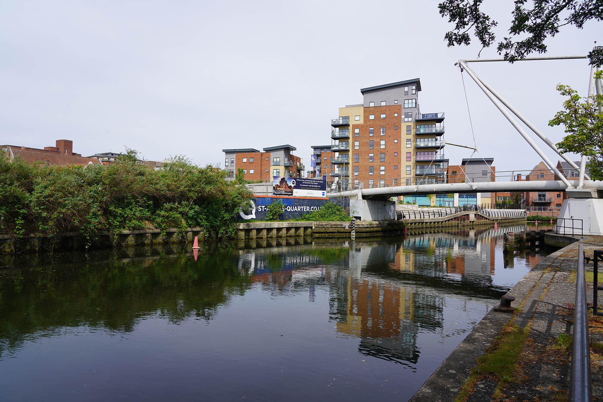
Tower blocks around the river.

Following the River Wensum.

Crossing Carrow Bridge with a view to the Boom Towers, ruins of the ancient city wall.


The waymarker that marks the split off from the Wherryman’s Way.

Thankfully we crossed the A47 via a road bridge.

Passing around a large quarry.

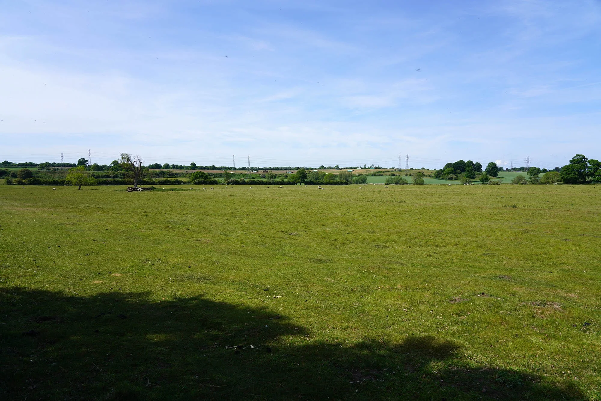
A grand view over the fields.

We passed an ancient woodland with some interesting Oaks.

Old Boudicca Way Waymarkers, now redundant and replaced with the bland purple ones. Sadly the website it has written on there doesn’t work anymore.

A bench with a view over the meadow.

Beautiful walking through these meadows. Landowners - you are doing an amazing job.


Definitely the best bit so far!


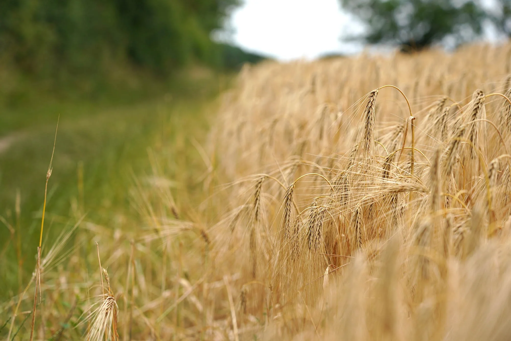
Views over the wheat fields.

We took a short ‘out-and-back’ walk to visit Venta Icenorum, the Roman Town south of Norwich and the supposed location of the Iceni Tribe before the Roman Invasion.

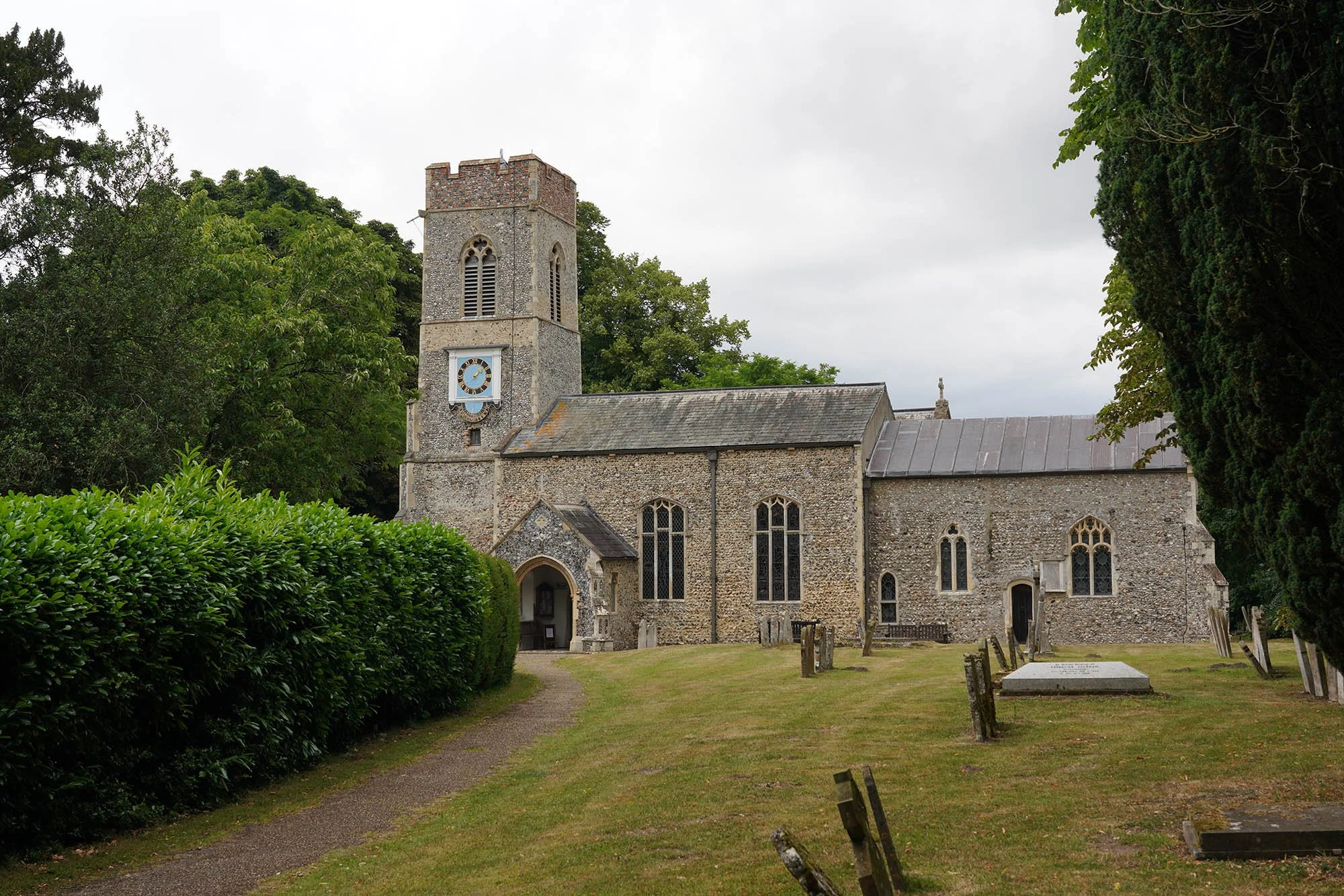
St Edmunds Church set within the Roman Town but Medieval.
The site of the Roman Town. There are actually many ruins left of the town walls (I just forgot to take photos of them!). During dry weather you can also make out the lines of Roman Roads through the town.
Day 2: Upper Stoke to Tasburgh (17.0km/10.56 Miles)

Heading out of Upper Stoke past open fields.

Open fields of wheat soon to be harvested.


The Globe in Shotesham.

The village pond.

The Dukes Head dating to 1712.

Shotesham Church.

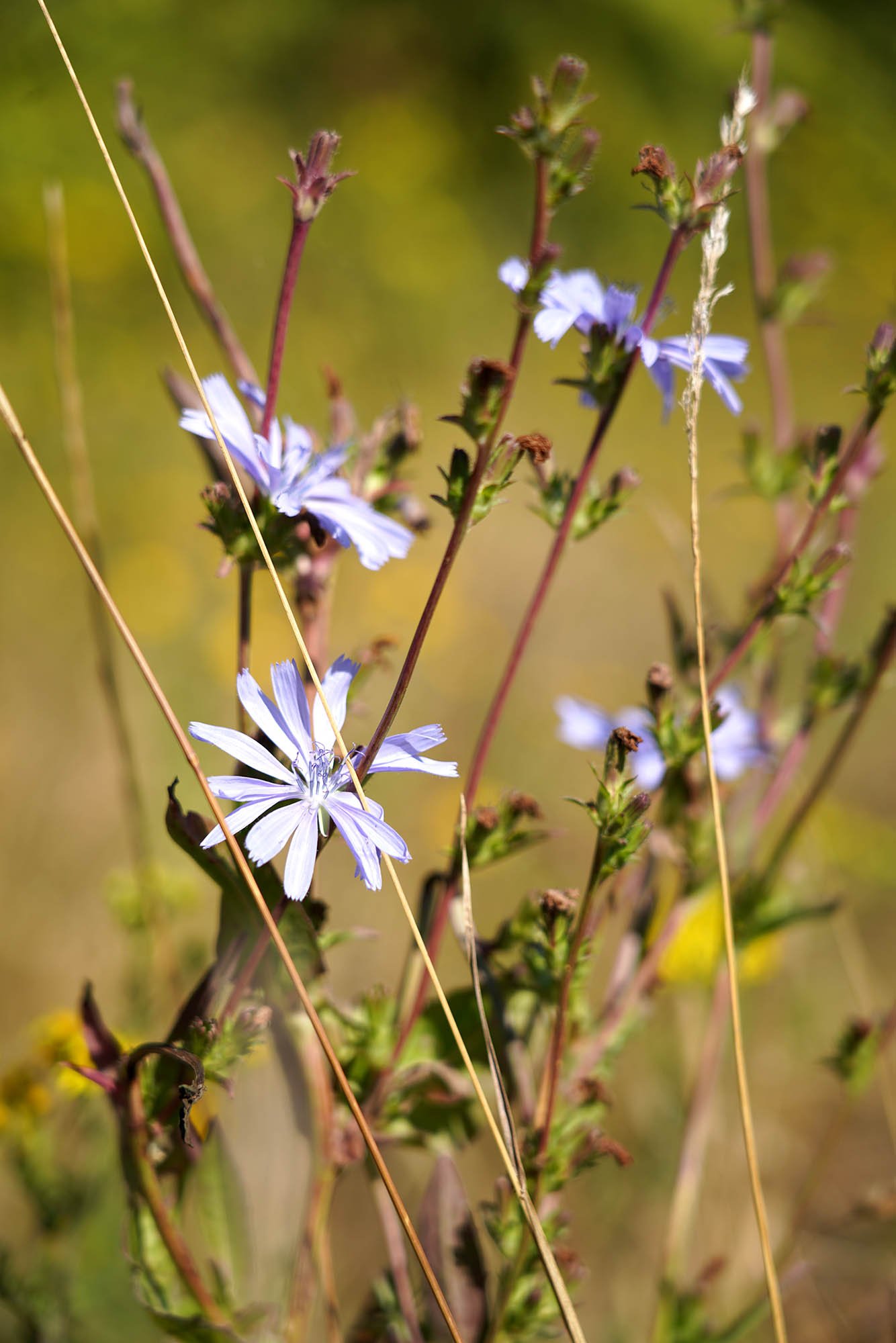
Lovely summer meadow flowers now coming out.

Another small pond along the trail and complete with a bench making it a perfect place for lunch!

Heading through the fields.


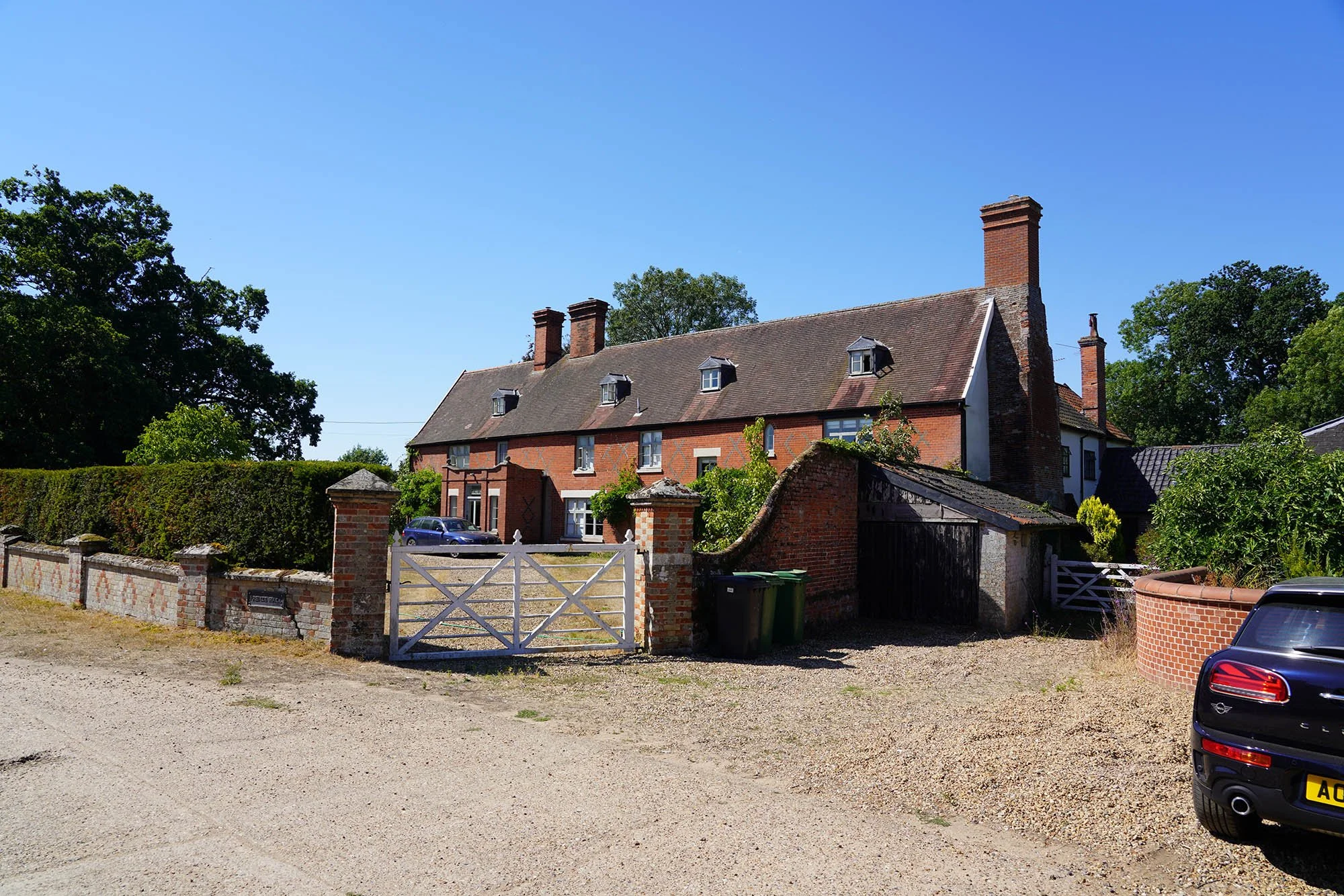
Lovely house in Saxlingham Green.

The Old Hall in Saxlingham Nethergate.
The lovely parish church.

A massive open field that is actually the origins of Tasburgh. This is believed to be Iron Age and reused in the Saxon times.
Day 3: Tasburgh to Pulham Market (16.0km/9.93 Miles)

The ancient church in Tasburgh, probably Saxon in origin.

The drought we have had this year is making everything die off so quickly.


Cooler amongst the trees. It was a hot day today!

Bright blue skies and crops ready to harvest about a month early!

Wood Green, a small area of open access consisting of ponds, meadow and woodland.


Interesting trees in Tyrrel’s Wood.


Boardwalk through Tyrrel’s Wood.


Field edge wild flowers looked lovely today.


Following field edges into Pulham Market.

Now entering Pulham Market.


The Falcon on the village green.

And The Crown on the opposite side.

Pulham Market church.
Day 4: Pulham Market to Diss (14.62km/9.08 Miles)

Today was set to be a mega hot day, reaching 30C so we started very early to have it completed by lunchtime. This building is the old train station in Pulham Market.

The Old Ram just by the A140.

Patten Lane.

Heading through Shimpling.

The village sign.

The remote parish church complete with a round tower and spire! It was lovely and cool inside!

More wildflowers along the trail.

More field crossing towards Thelveton.

Thelveton Church, one of the most remote on the walk. All 15th Century…

Except this Norman archway! I guess there was a church her in Norman Times.
Frenze Hall.

And a little chapel opposite.


Finally at Diss Station. Not the best place to end a long distance walk but convenient for public transport links. Overall it was an enjoyable trail.