Blake Fell
Distance: 12.1km
Ascent: 633m
Duration: 3 Hours 53 Minutes
I headed over to Loweswater today as the weather was going to be rather terrible and wanted to hike some of the slightly lower fells in the hope to get some views! I decided on Blake Fell via Burnbank Fell and also summited Gavel Fell whilst getting soaked to the bones!
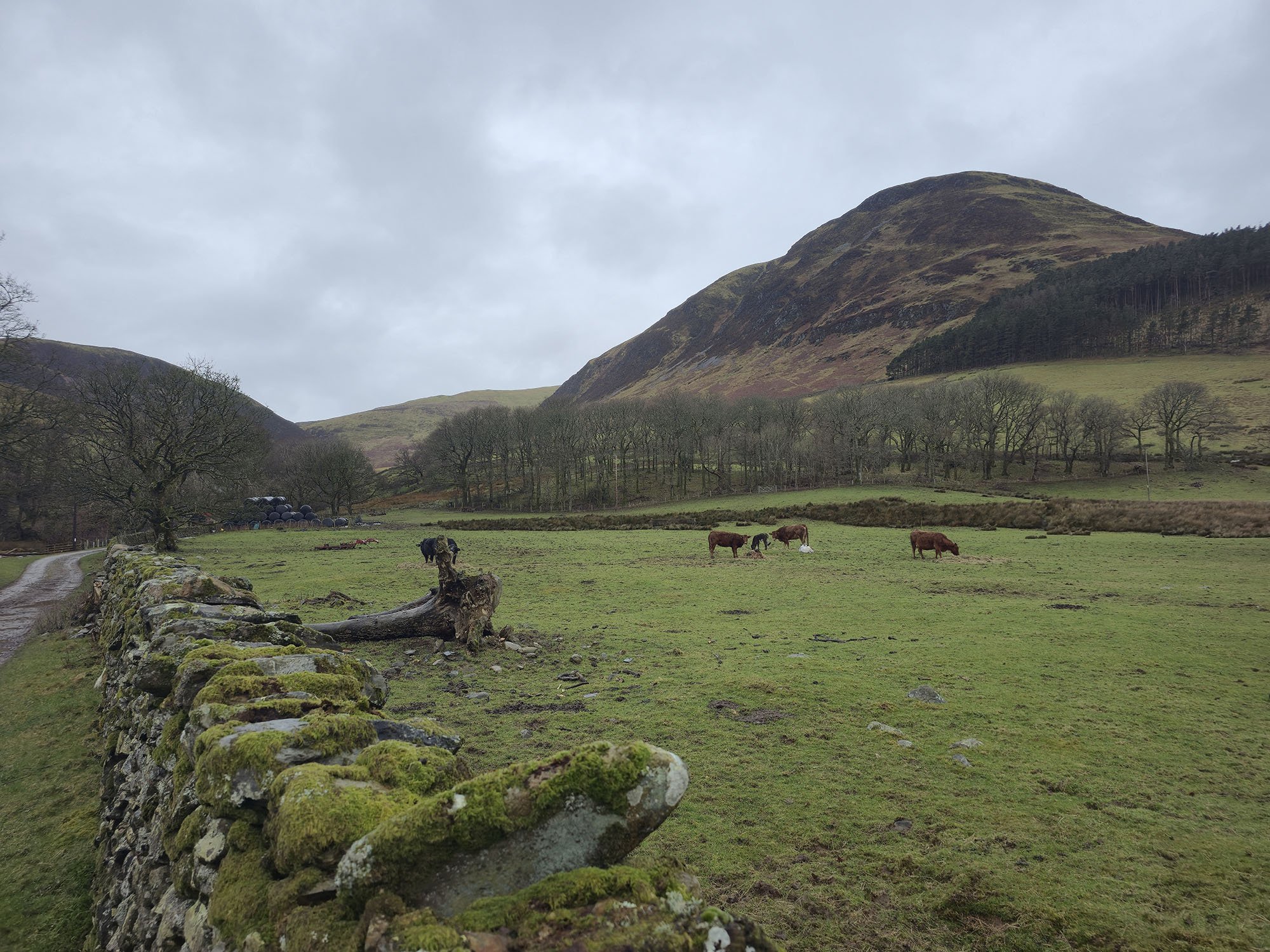
Heading past High Nook Farm and looking up to Carling Knott.
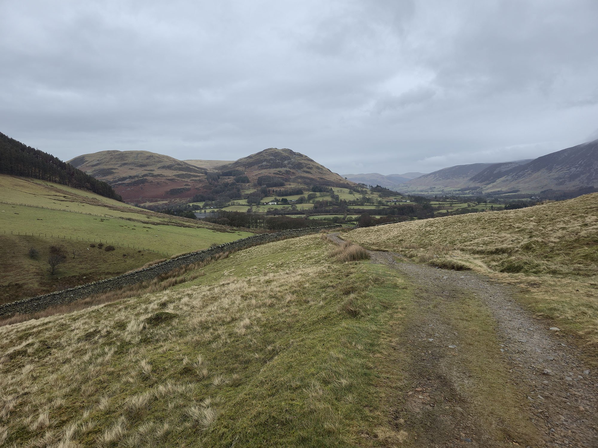
A view back to Darling Fell and Low Fell.
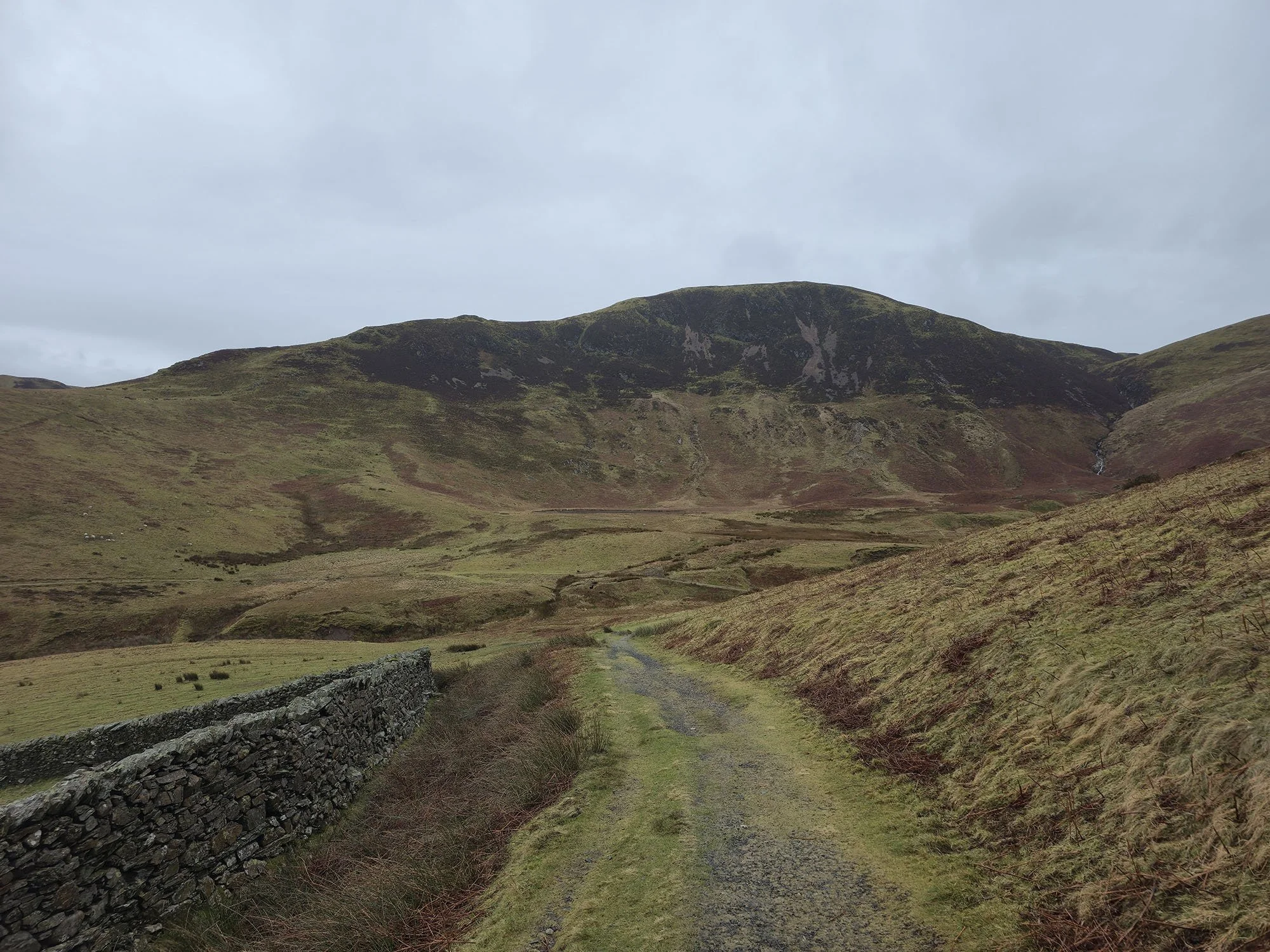
Black Crag behind High Nook Tarn.
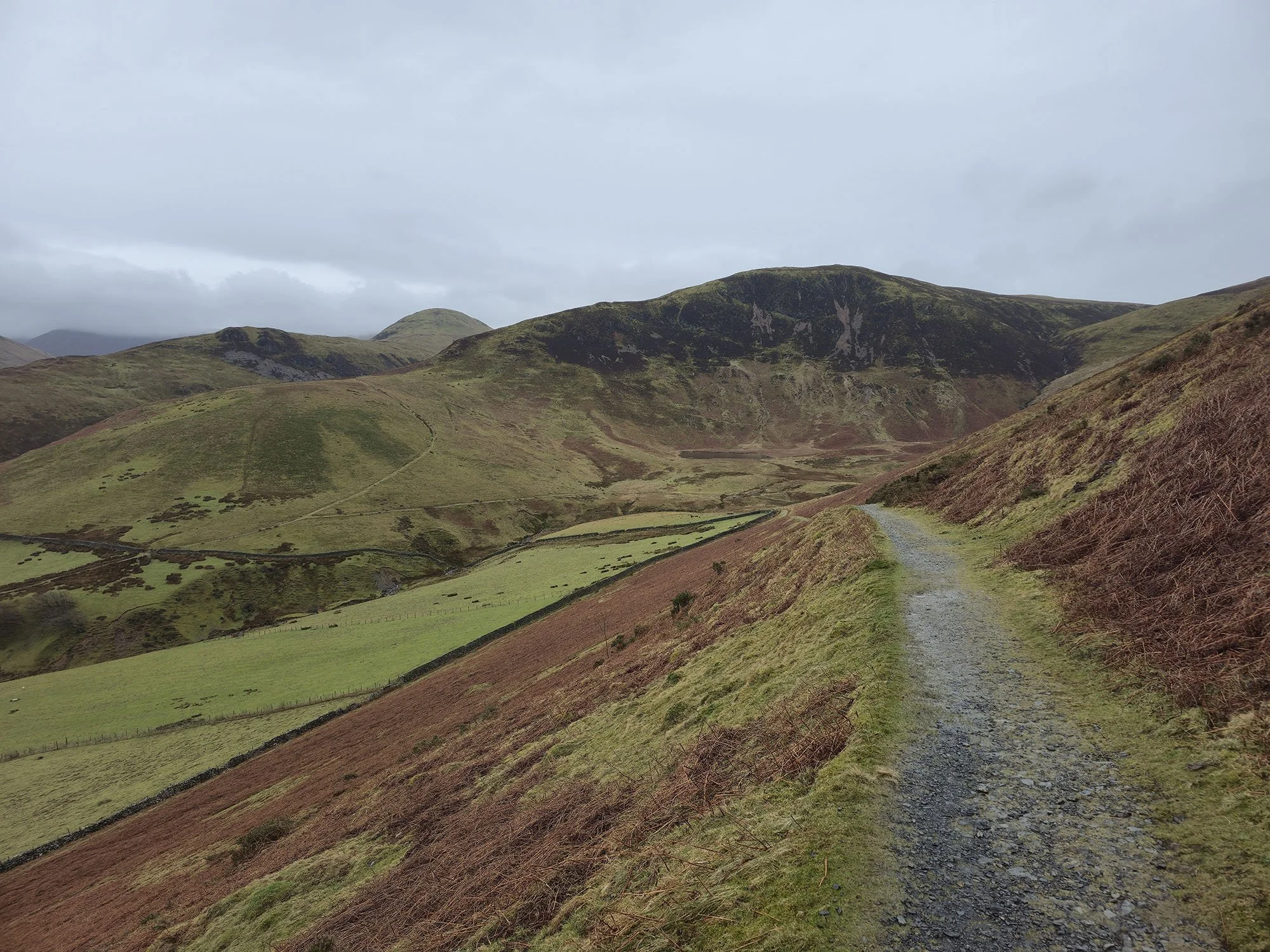
And from further along the terrace path, this time with Hen Comb in the background.
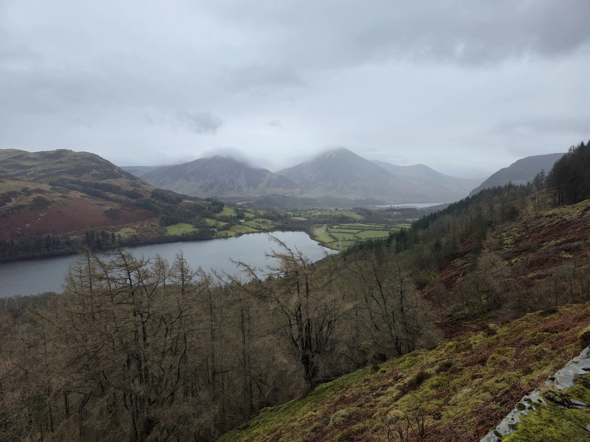
The stunning view over Loweswater to Grasmoor from the terrace path.
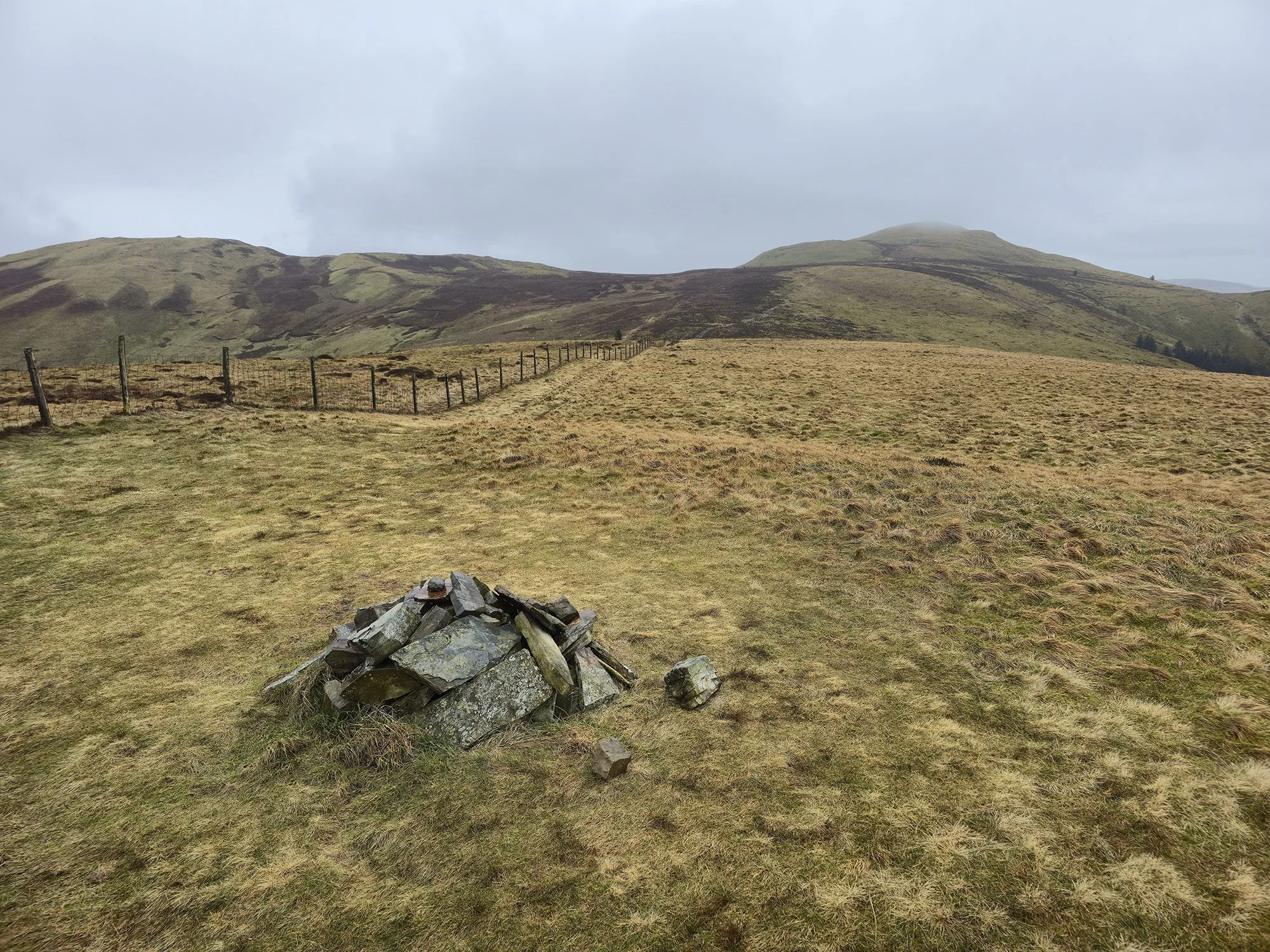
The summit of Burnbank Fell.
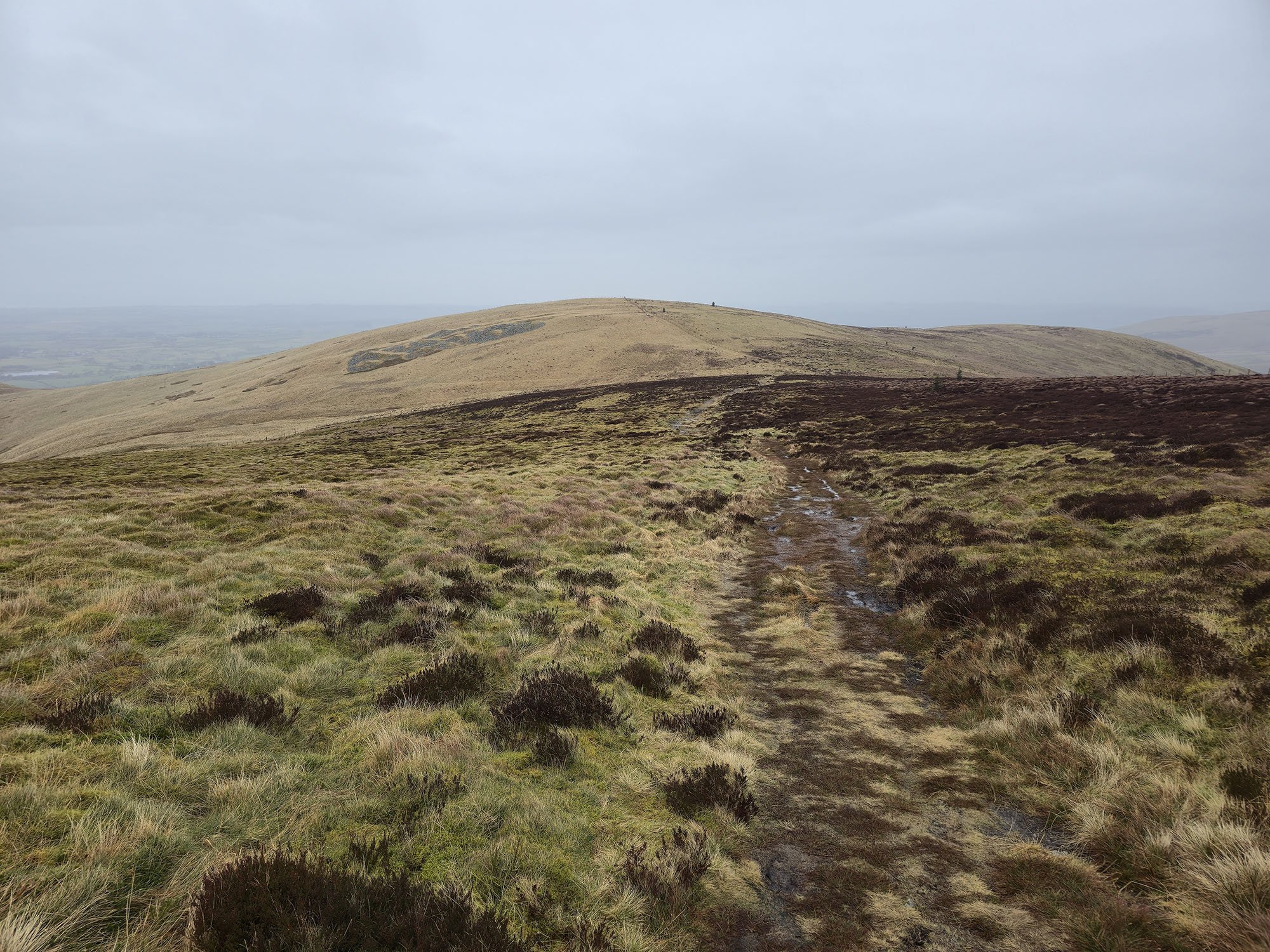
Looking back from the path to Blake Fell.
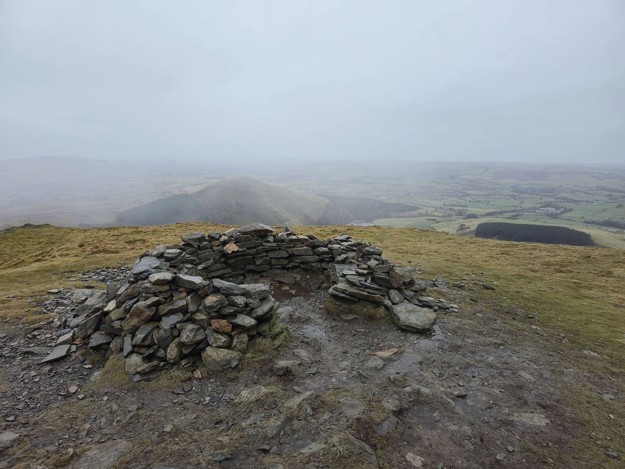
The shelter on Blake Fell and the highest point today at 573m.
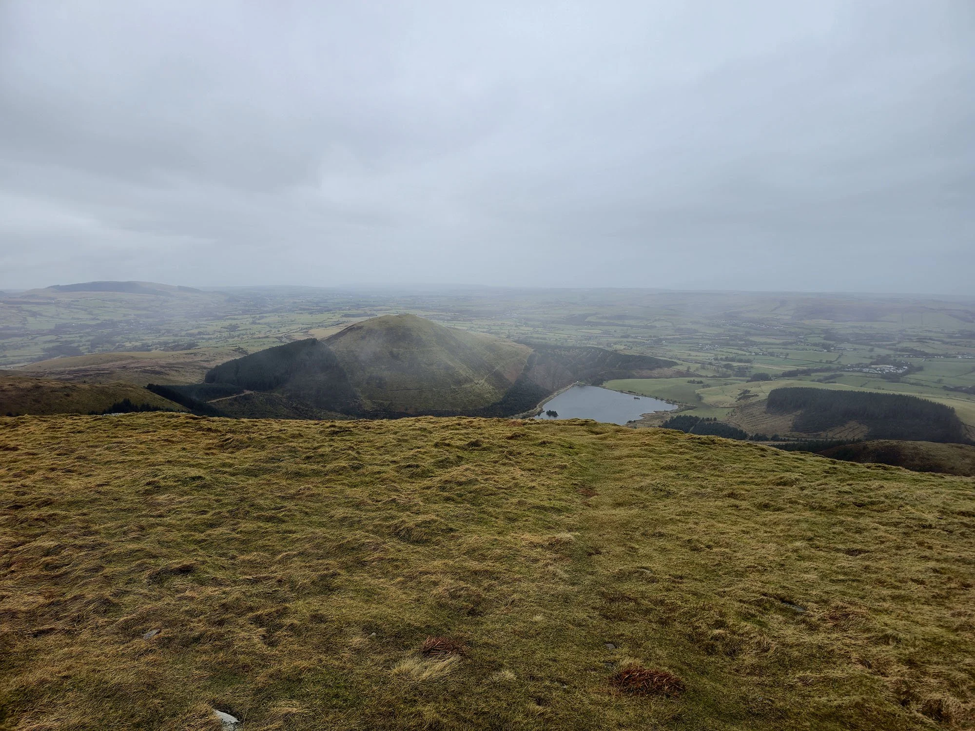
Looking across to Cogra Moss and Knock Murton.
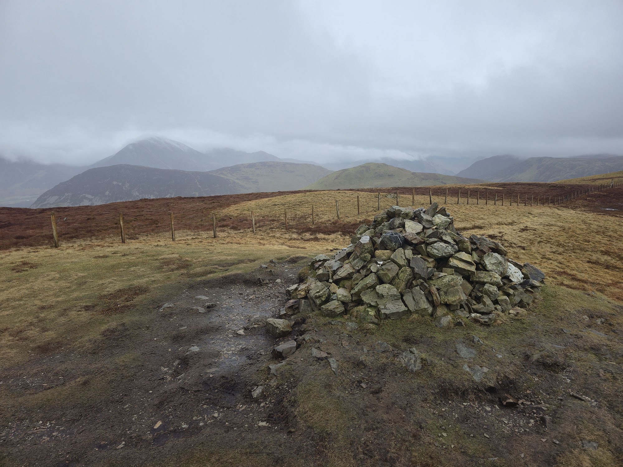
The summit of Gavel Fell.
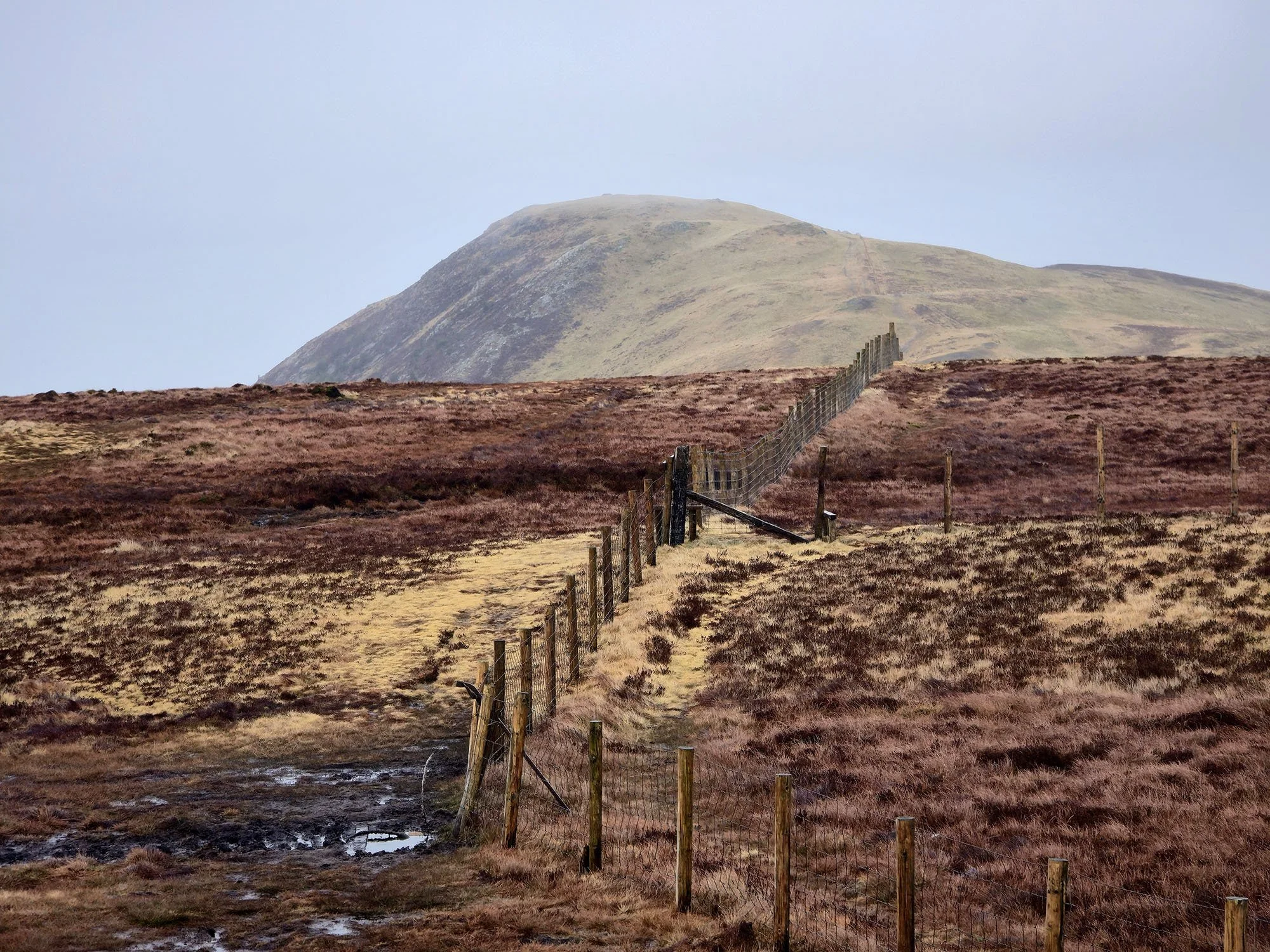
Looking back along the bog to Blake Fell.
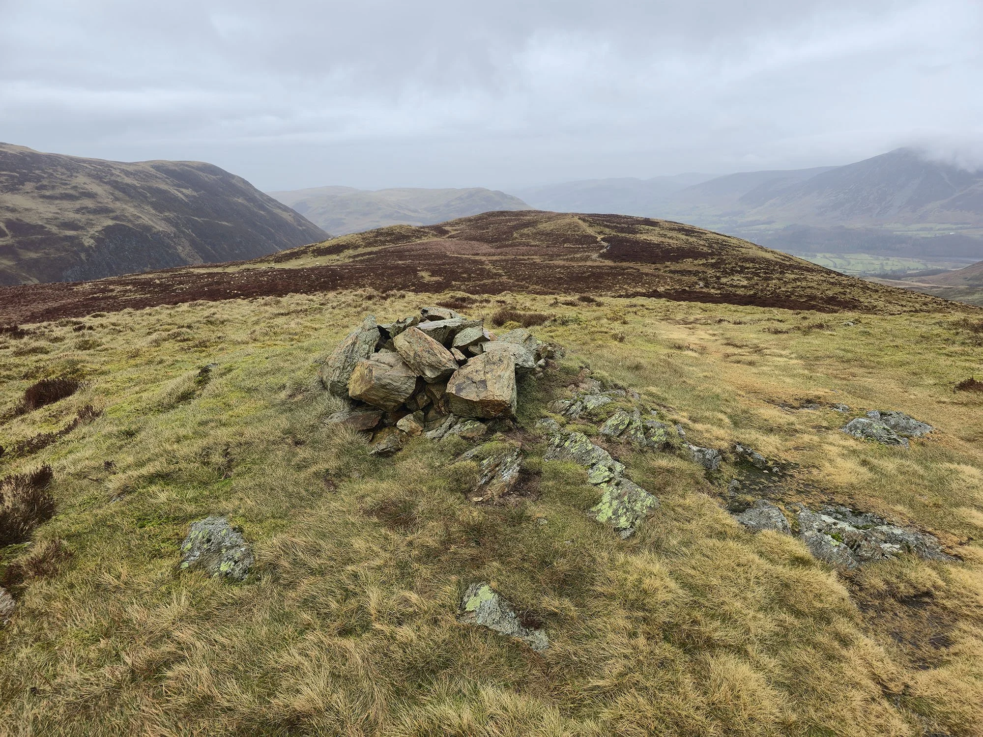
The 488m summit of High Nook after crossing the wettest bog ever.
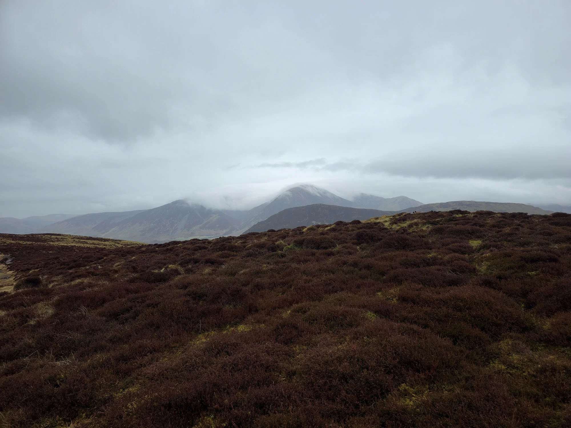
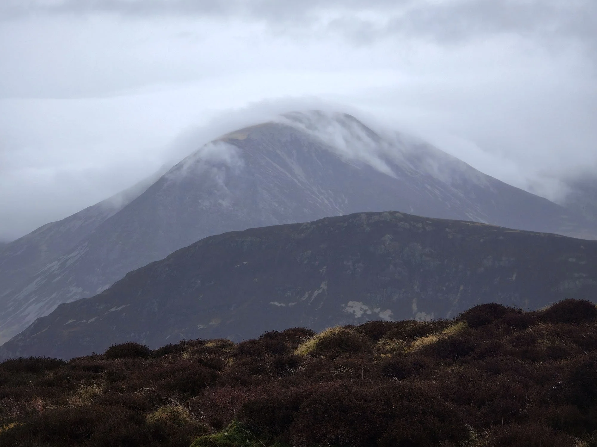
Stunning clouds on Grasmoor.
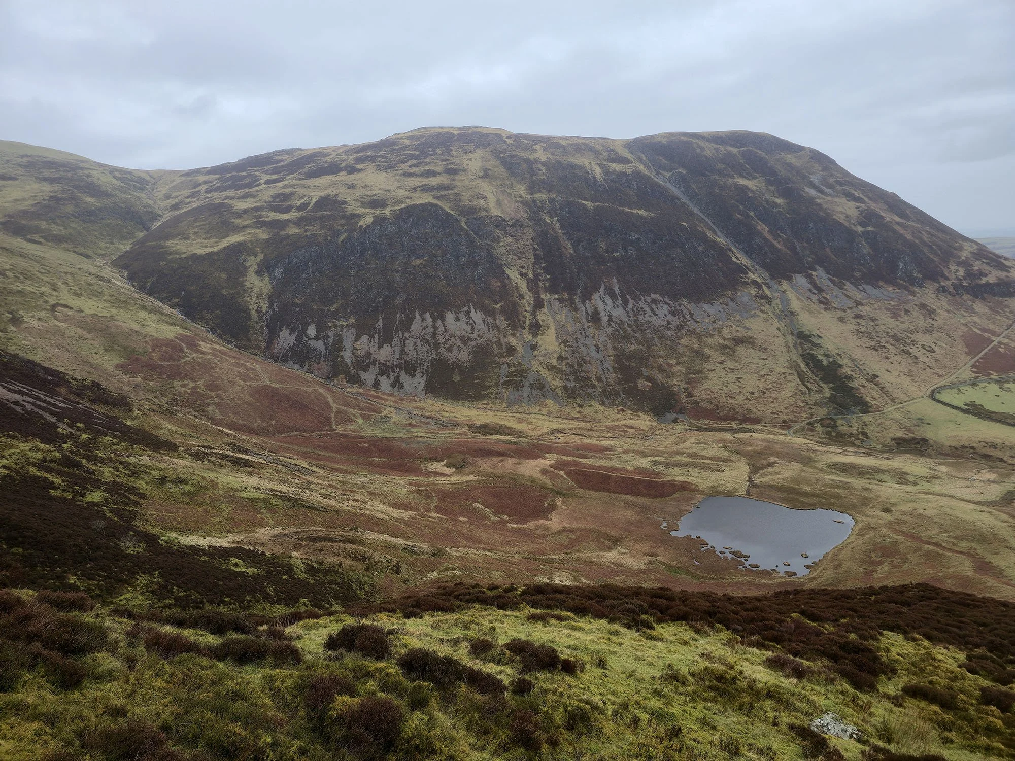
A final view down to High Nook Tarn and Carling Knott as I descend the fell.
