Edale Skyline
Distance: 33.3km (20.68 Miles)
Ascent: 894m (2933ft)
Duration: 10 Hours 16 Minutes
Today I was taking a small group of people along the Edale Skyline as I have walked in this area a lot and my sister who was in the group invited my along. This walk is a tough challenge and worth all the effort! Shame the weather was apalling!

Dry as we set out from Hope Station.

Its about 07:30 and its time to head uphill to Win Hill.

Heading into the clouds but a little view to Ladybower Reservoir. The forecast was for heavy rain until about 2pm today but so far dry!

Win Hill summit trig.

Following the track towards the Kinder Plateau.

The Vale of Edale looking beautiful today. Still dry too!

Hope Cross.

A view to Crook Hill.

Looking back to Win Hill from the Roman Road.

Looking down the valley towards Hope. Weather is still holding… for now… but not for much longer.

Cross the stream as we join the Kinder Plateau.

Stuck in the cloud now for the next 4 or 5 hours with torrential rain and strong winds. It was cold and wet all the way to Mam Tor which made the walk much less enjoyable than if it was dry and sunny!

Ancient burial mount on Lords Seat.

Mam Tor summit.

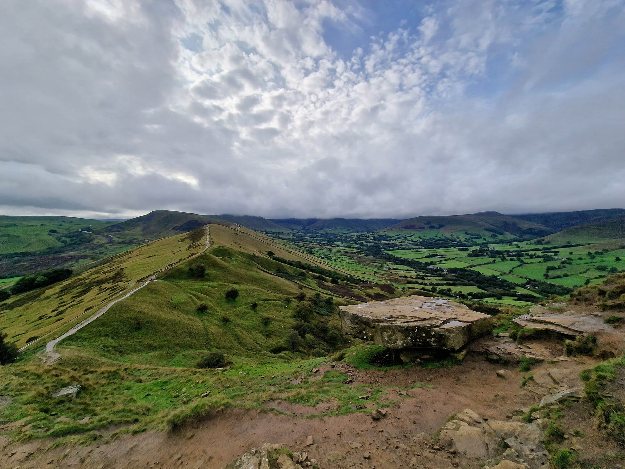
The Great Ridge.

The Hope Valley with Castleton down on the right.
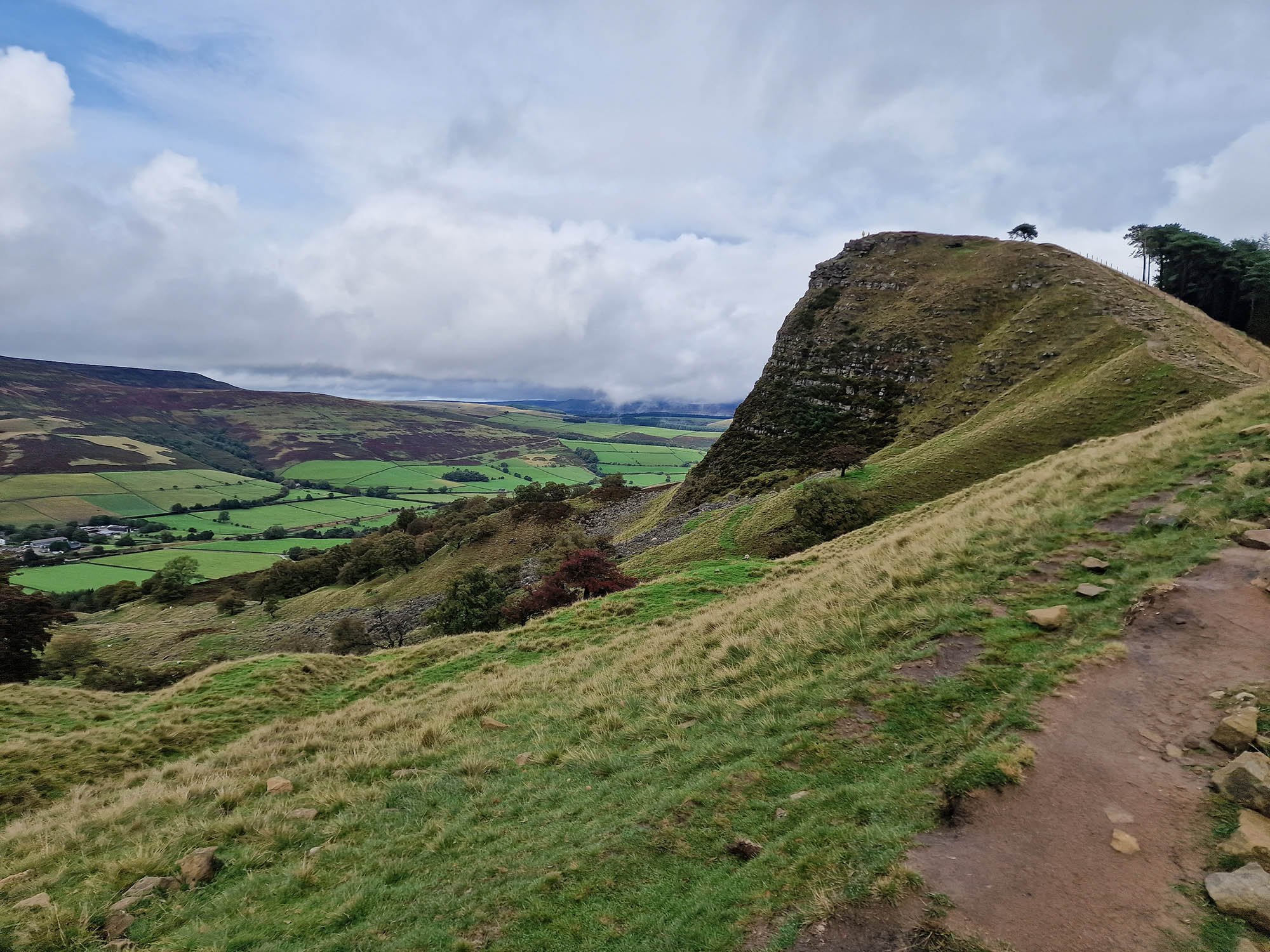
Back Tor.
Wish it was like this all day today!

A final photo from the summit of Lose Hill before descending down to Hope Station.