Wherryman’s Way
Guidebook available in the shop!
Distance: 37 Miles
Start: Norwich Train Station, Norfolk
Finish: Great Yarmouth Train Station, Norfolk
The Wherryman’s Way is a long distance path linking Norwich with Great Yarmouth and follows a 37 mile route along the River Yare. The route is as close as you can walk to the route that Wherry’s took from the coast into Norwich hundreds of years ago. Highlights on the walk include a view up to Burgh Castle Roman Fort, Berney Arms Mill, Reedham Ferry, Hardley Flood Nature Reserve, Ruins of Langley Abbey, Rockland Broad, Ruins of St Saviours Church in Surlingham and Whitlingham Country Park. The walk is generally completed over two or three days with a stop off around Loddon.

Full Linear Route Directions
Maps showing the route, direction of travel, features and points of interest
Photos throughout the walk
9 shorter circular walks taking in parts of the Wherryman’s Way
The Wherryman's Way is a superb 38 mile long riverside walk linking the city of Norwich to the coastal town of Great Yarmouth. Numerous historic ruins, pubs and wildlife hot-spots are passed along the route to the coast which should ideally be split down over 3 or 4 days to make the most out of this stunning and unique National Park. This book provides details, maps and directions of the entire trail and nine extra circular walks that take in the very best parts of this unique long distance walk.
Paperback | Page Count: 67
Day 1: Norwich to Rockland St Mary (20.1km)

Norwich Train Station - the official start of the Wherryman's Way. From here it’s only 100m to join the River Wensum.

New Riverside Appartments.

The Boom Towers forming part of the medieval city walls.

On two waymarked long distance trails at the moment...

The remains of Trowse Newton Hall. Grade II listed.

Whitlingham Lake.

Brief sunshine as I cross the open countryside towards Surlingham.


The Waters Edge Restaurant.

Details and a sculpture for the Wherryman’s Way.

Next stop, Surlingham.

Bramerton Staithe.

Surlingham Church.
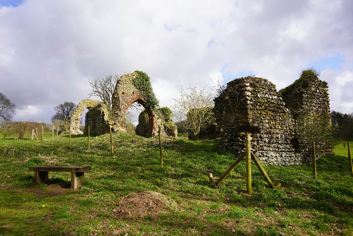
Just off the route is the ruins of St Saviours Church overlooking Church Fen.

The River Yare at Coldham Hall.

Nearing the end of the day at Rockland St Mary.
Day 2: Rockland St Mary to Loddon (21.8km)

Rockland Staithe.


Rockland Broad.

The end of Short Dyke (the dyke that connects Rockland Broad to the River Yare).

The River Yare at the Beauchamp Arms. It’s here the route turns away from the river due to no rights of way.
Following the road through Langley.

Way-markings in Langley.

Langley Abbey Estate.

Langley Dike.

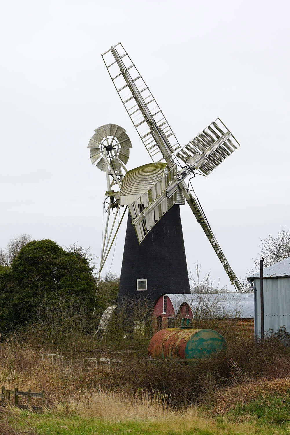
The impressive and recently restored Hardley Mill.

The junction of Hardley Dike and the River Yare.

Hardley Cross.

Hardley Hall.
Day 3: Loddon to Great Yarmouth (24.4km)

Loddon Water Mill.

Loddon Church.

Heckingham Church. Just beyond the church the road is joined for several miles to Reedham Ferry.

The River Chet near Reedham Ferry.

Norton Drainage Mill.

Reedham Ferry.
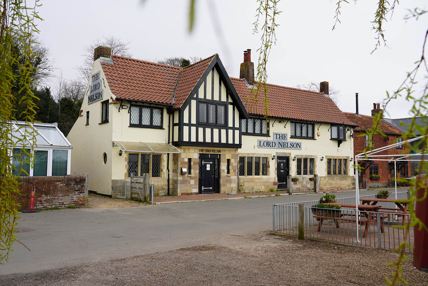
The Lord Nelson pub in Reedham.
Polkey’s Mill.

Cadges Mill.

Six Mile House Mill

Red Mill (sometimes known as Langley Marshes Mill)

Berney Arms Mill, possibly the tallest mill in Norfolk and a Scheduled Ancient Monument.

Lockgate Drainage Mill alongside Breydon Water.
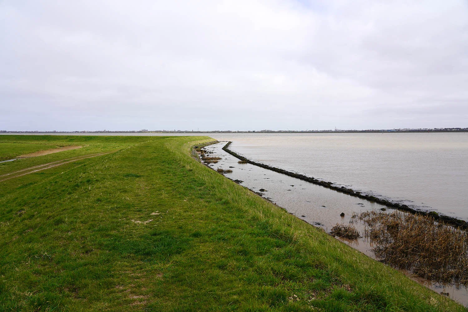
The path along Breydon Water - the tide is in at the moment!

The final section along Breydon Water to Great Yarmouth just a mile or so ahead.