Stour & Orwell Walk
Guidebook available in the shop!
Distance: 43 Miles
Start: Landguard Fort, Felixstowe
Finish: Cattawade Picnic Site, Cattawade
The Stour and Orwell Walk explores 43 miles of the stunning Orwell and Stour Estuaries which form part of the Suffolk Coast and Heaths Area of Outstanding Natural Beauty. Beginning at Landguard Fort on the edge of Felixstowe, the opening miles through the town are a stark contrast to the open estuary which is followed past numerous nature reserves and wildlife rich areas into the centre of Ipswich. From the county town of Suffolk, the western side of the Orwell Estuary is followed south, past several villages to Shotley Gate, with this section offering some of the best opportunities to spot some of the local rare wildlife. Here the Stour and Orwell Walk turns west, along the edge of the Stour Estuary with a mixture of countryside and riverside footpaths to end at Cattawade where it can be connected to the Stour Valley Path, St Edmund Way or Essex Way.

Exploring over 40 miles of the Suffolk Coast and Heath's Area of Outstanding Natural Beauty, the Stour and Orwell Walk is the perfect multi-day hike to see this stunning area. Beginning by the sea at Felixstowe the route follows the edge of the Orwell Estuary to Shotley via the large town of Ipswich. There are dozens of areas rich in wildlife including the woodlands around Pin Mill, Trimley Marshes Nature reserve and Orwell Country Park. Once at Shotley the Stour Estuary is joined and followed west for 15 miles. With a mixture of countryside and estuary walking, this is a thoroughly enjoyable section which ends the trail at Cattawade.
Paperback | Page Count: 63
Day 1: Felixstowe to Nacton - 17.9km

Large Container Ships at Felixstowe Port.

Landguard Beach.


Landguard Fort Museum.

Felixstowe Martello Tower, one of many along the Suffolk and Essex Coast.
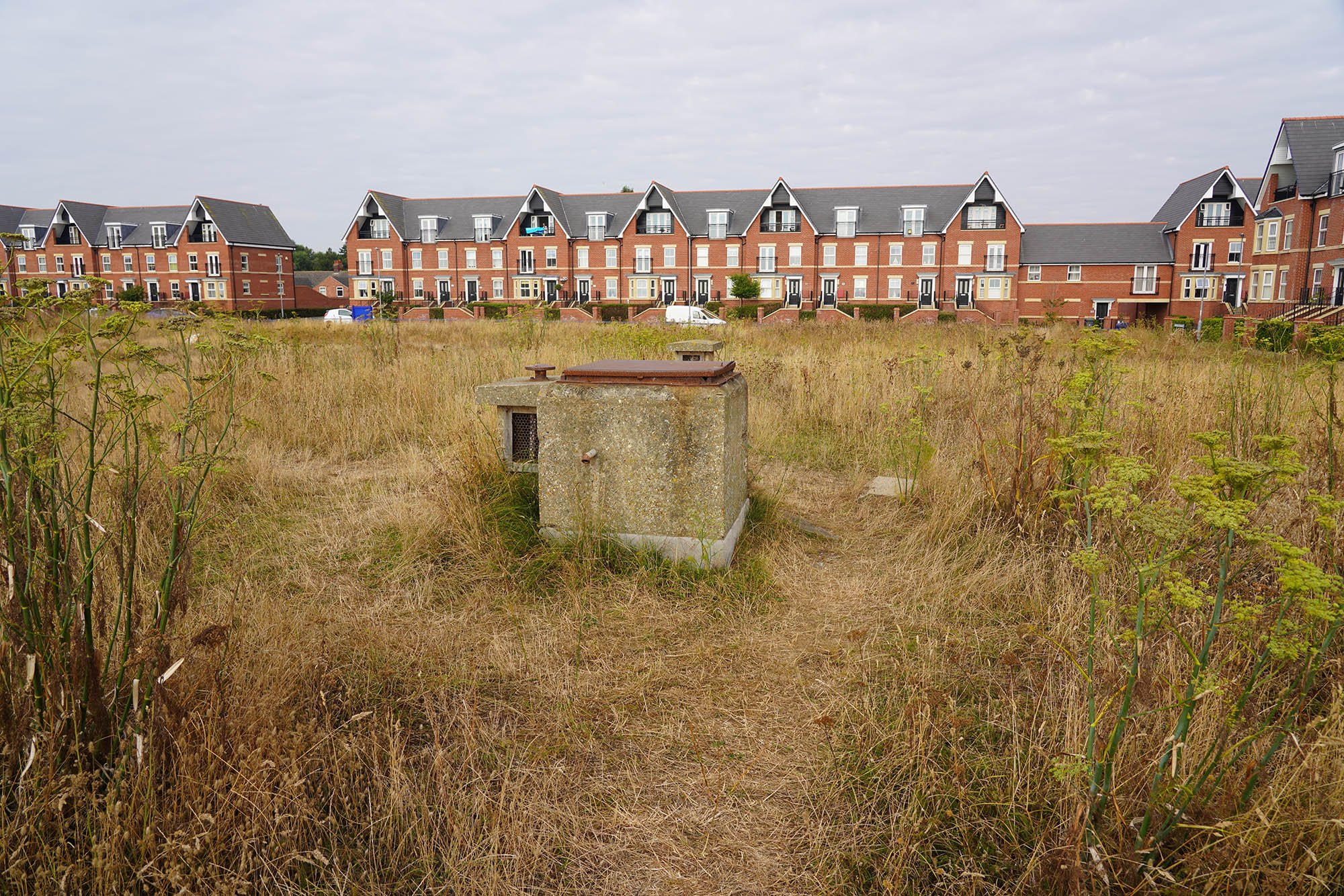
The site of an underground bunker called an ROC Post.

The short section from Felixstowe to Trimley is sometimes called the Stour and Orwell Link Path.

Heading towards Trimley Marshes.

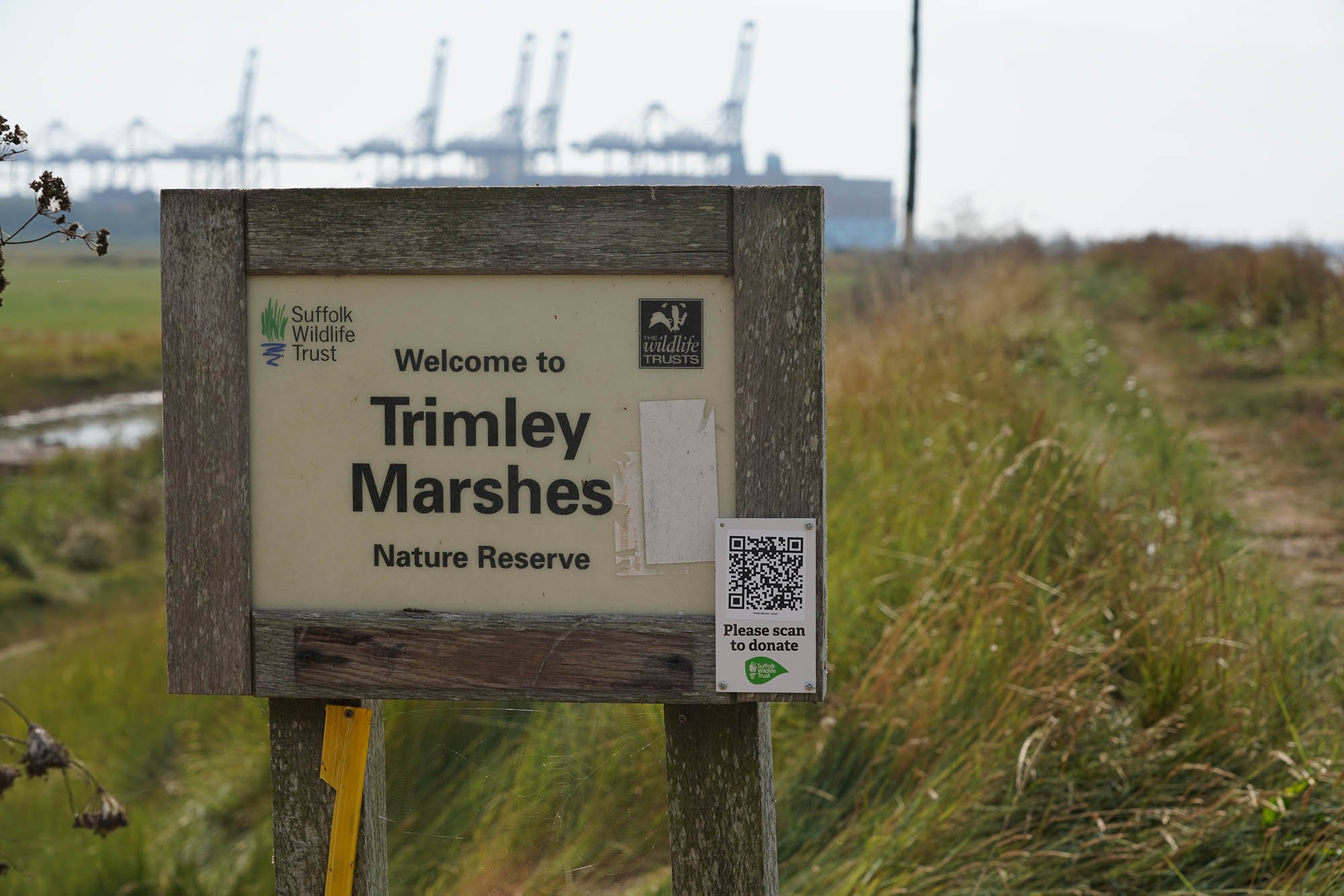
Now in Trimley Marshes Nature Reserve.

The Orwell Estuary keeping me company for the next 30 miles or so.


Shotley Point on the other side of the Estuary.
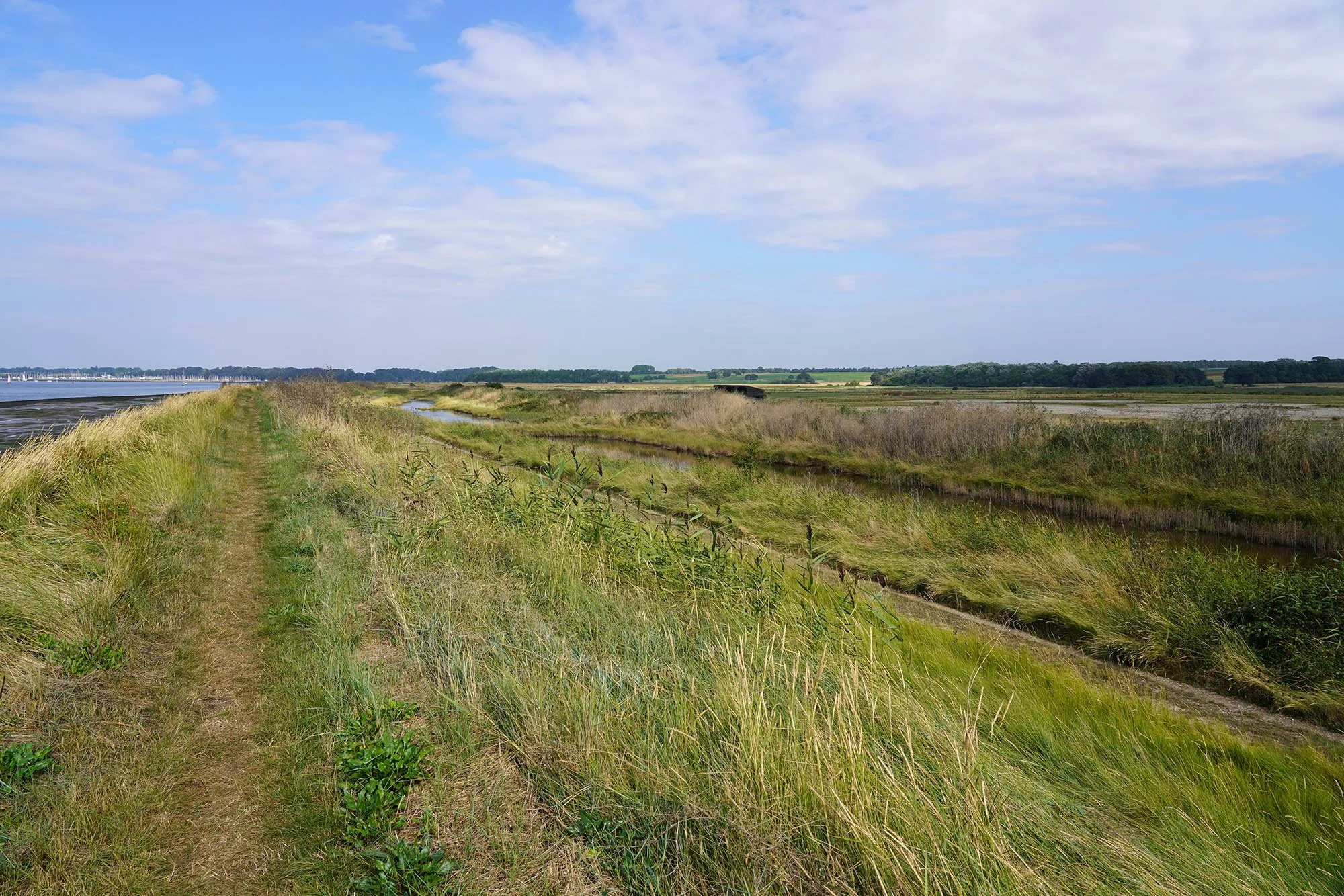
Trimley Marshes with hides along the trail.

Lots of tidal marsh around here.
Now leading the Nature Reserve.


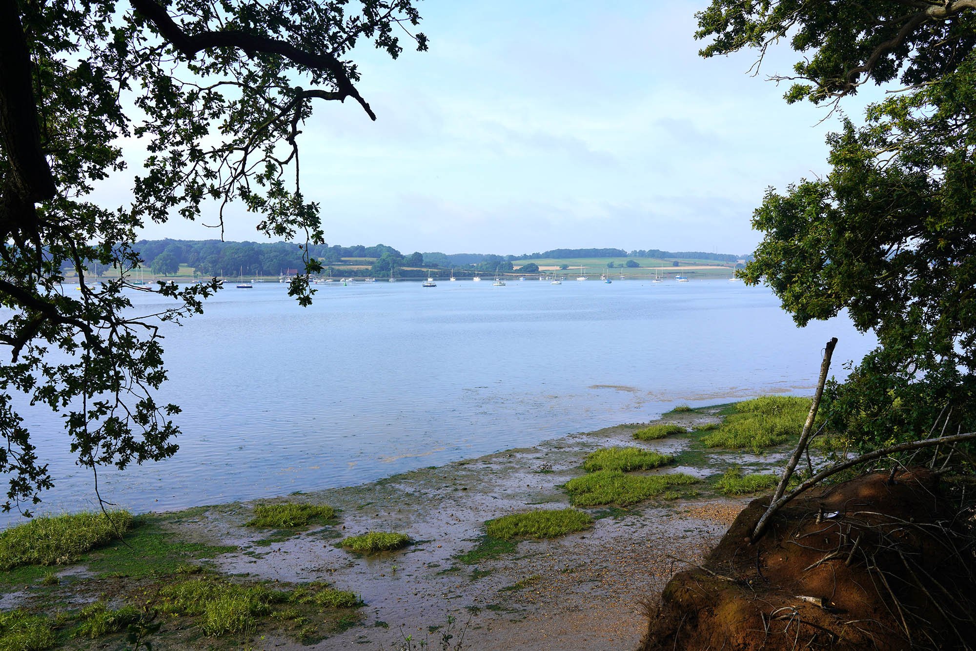
Approaching Loompit Lake and Stratton Marina.

Loompit Lake.


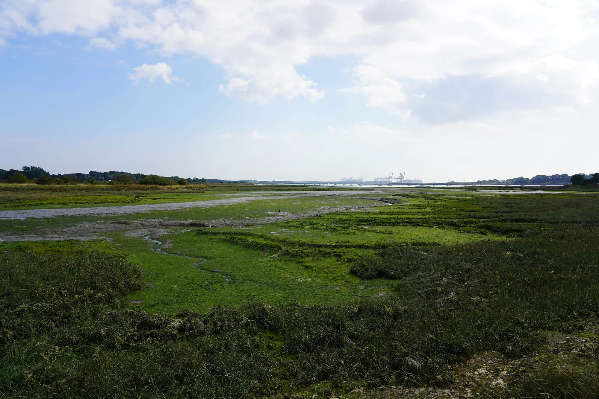
Mudflats along the estuary.

Small pools by Levington Creek.
Levington Creek.

Nacton Shore. Once in the village there is a chance to get a bus back to Felixstowe or into Ipswich from the main road.
Day 2: Nacton to Ipswich - 14.25km

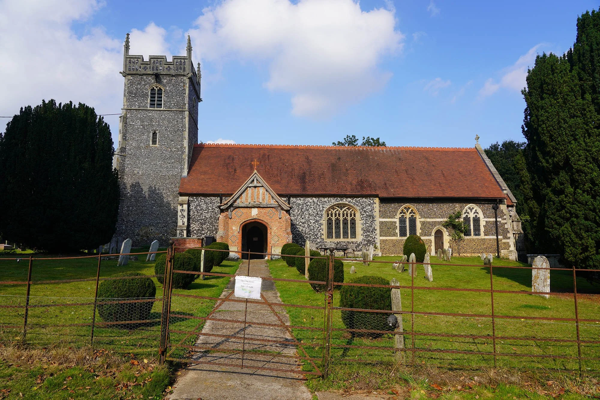
Nacton Church.

Following the road into Orwell Country Park.

Woodland on the edge of the Orwell Estuary.
Back down on the edge of the Orwell.

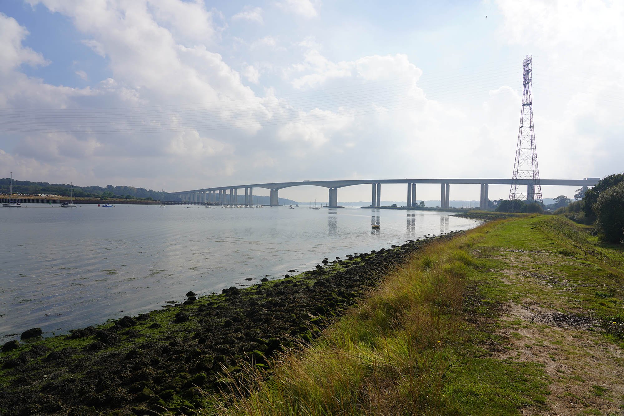
The impressive Orwell Bridge is a main feature along this stretch.

Freston Tower on the other side of the estuary.

The Orwell Bridge.

The path joins the clifftop path just before the bridge.

About to pass under the bridge.


After a bit of urban walking the trail enters Landseer Park.

The trail manages to follow a green corridor into the town centre and ends just by the bridge over the River Orwell in the town centre.
Day 3: Ipswich to Shotley Gate - 24km
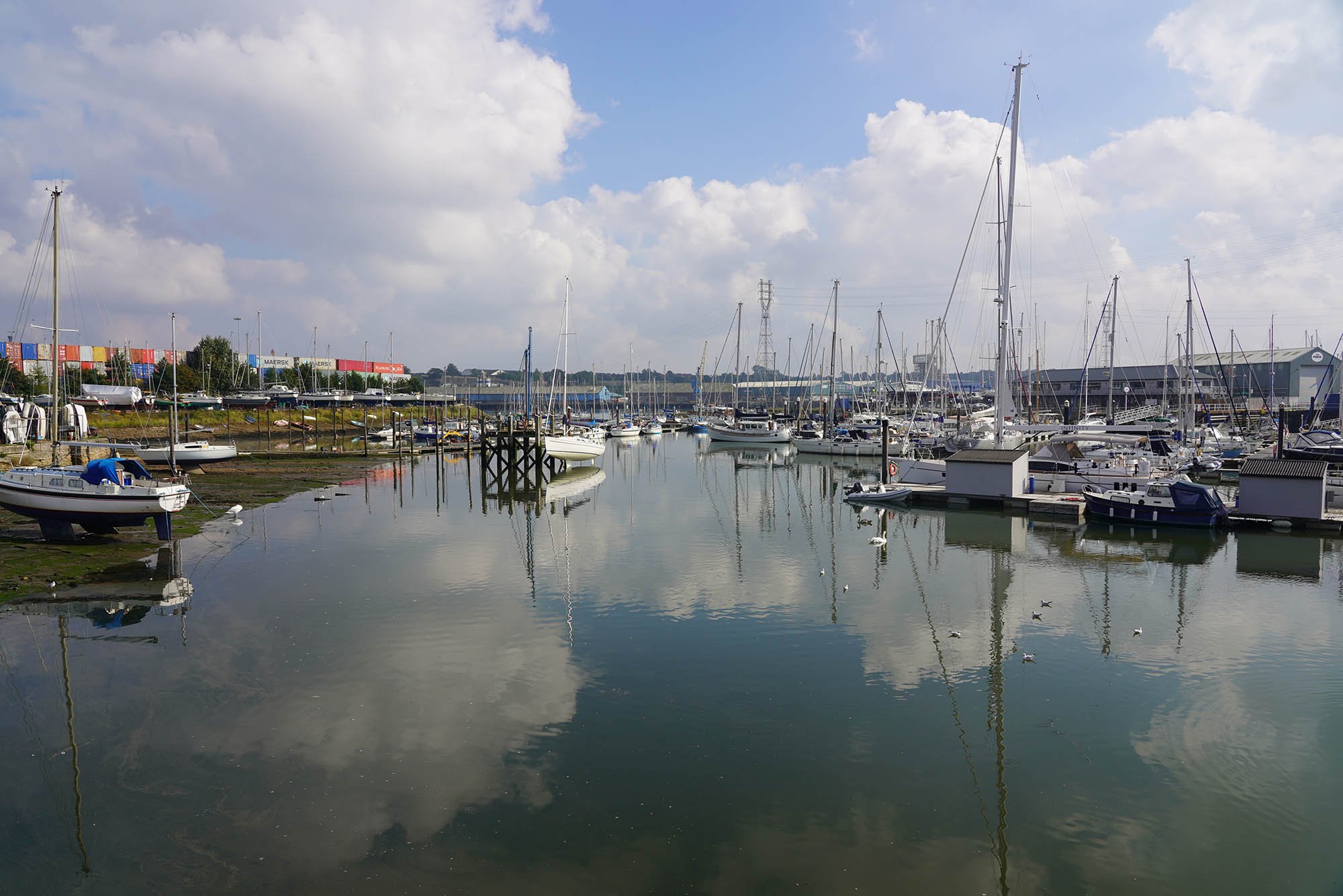
Ipswich Docks.

Back on the edge of the Orwell Estuary. Lots of wildlife about along the estuary.
Heading to the Orwell Bridge once again. There is a shortcut along the bridge but I would recommend the Ipswich Loop.

The lovely Orwell Estuary. No more town walking from here on, just little waterside villages.

Freston Church.

Taking a detour to Freston Tower and there is a lovely view to Orwell Bridge.

Freston Tower.
Woolverstone Church.

Down by the docks at Woolverstone.


Down at Pin Mill.
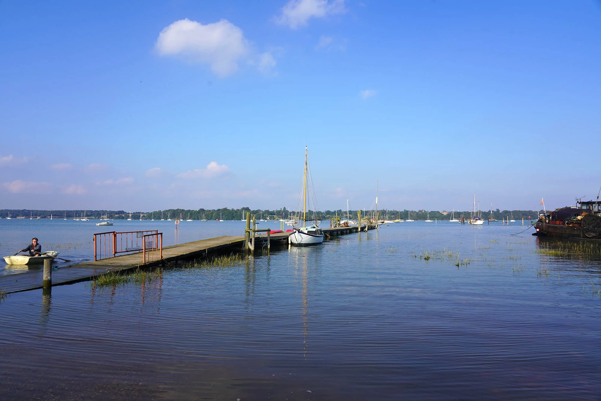
Pin Mill was so serene and lovely to stop here for a bit. There is also a pub for some lunch!


The Butt and Oyster at Pinmill.


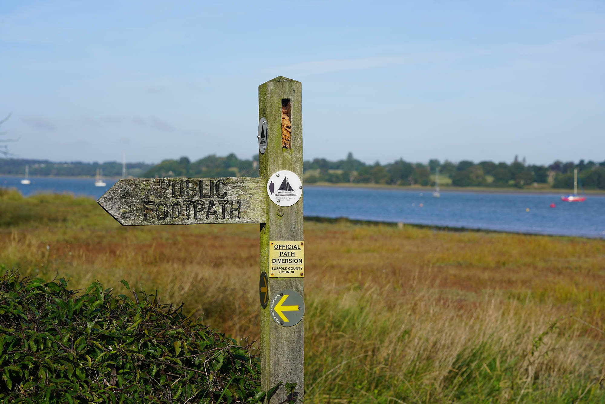
As you can probably see from previous photos, the route is well waymarked.

Some lovely countryside south of Pin Mill.

A long distant view back to the Orwell Bridge.

Near Colton Creek, opposite Stratton Marina.

The view back to Stratton Marina.

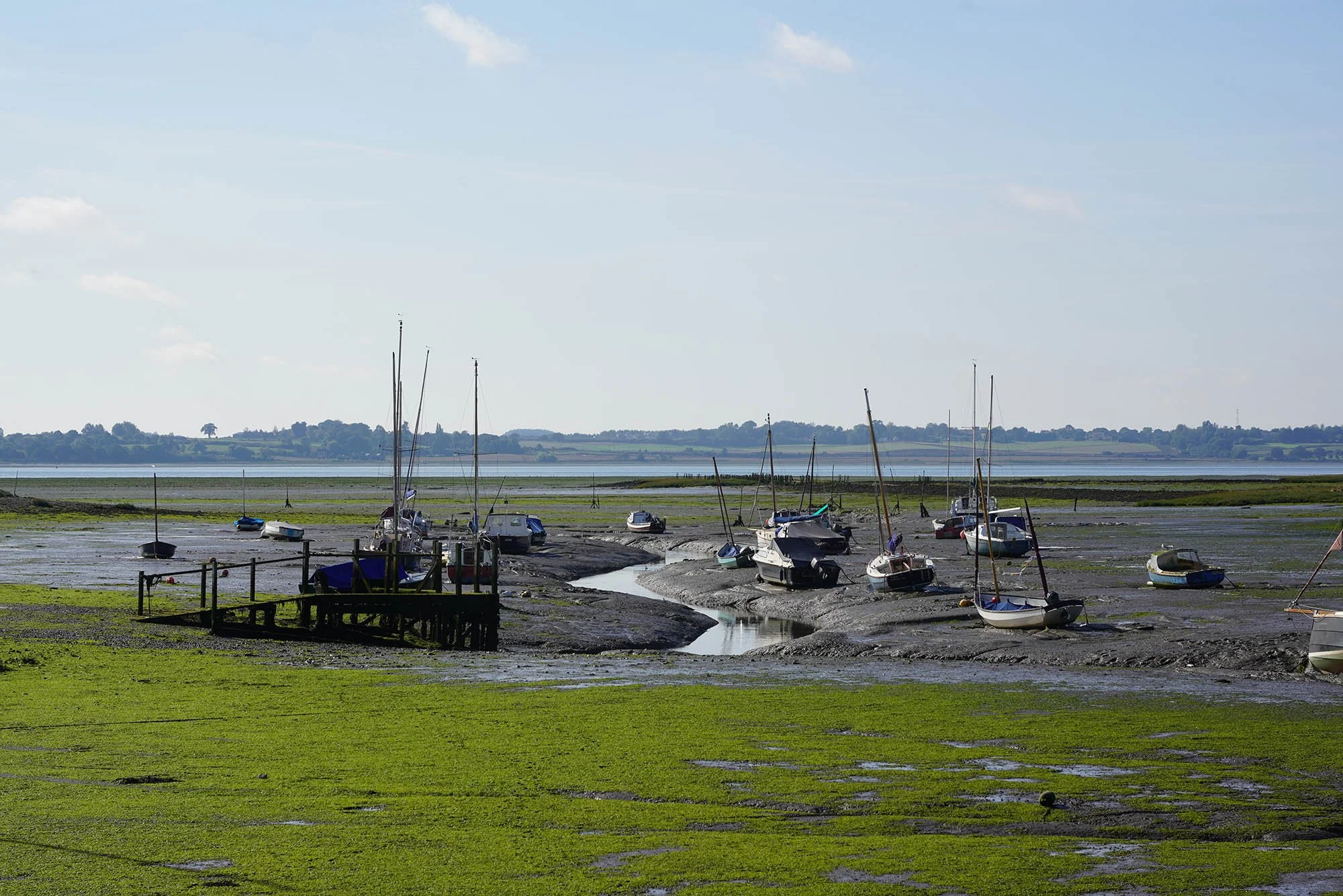
Narrow channels near Shotley Marshes.

Shotley Gate Martello Tower with a Water Tower on top!

The view across to the start of the trail at Felixstowe and Landguard.

The Stour Estuary at Shotley Gate and the end of this day of the trail.
Day 4: Shotley Gate to Cattawade - 23.2km

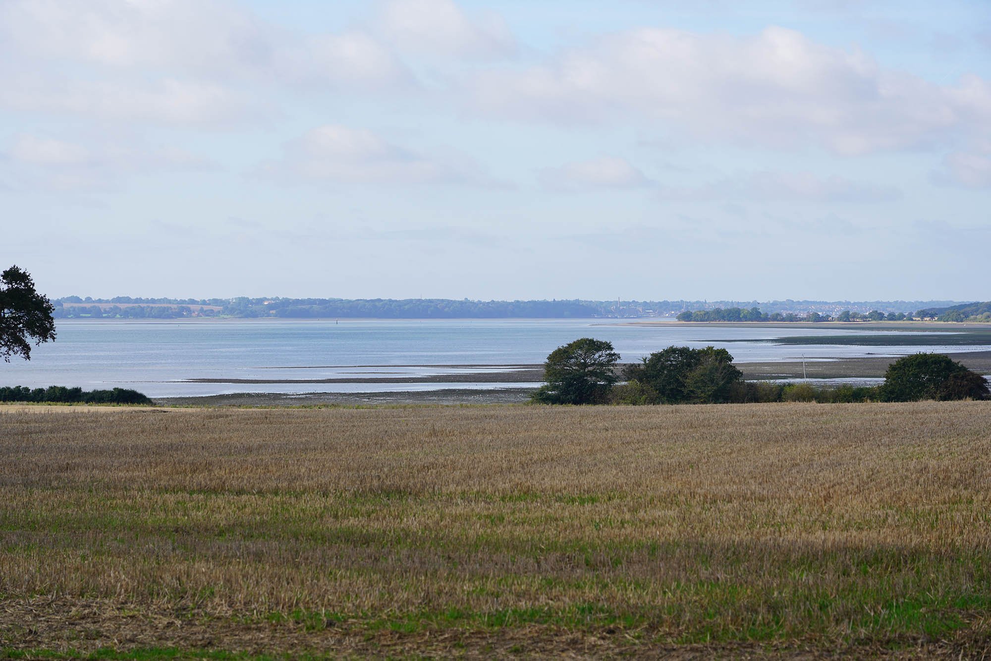
Originally the trail hugged the shore of the Stour Estuary but due to recent erosion the trail has been diverted inland for the first half of this day. Here is the first view of the Stour Estuary from a hilltop.

Long distance views up the Estuary.
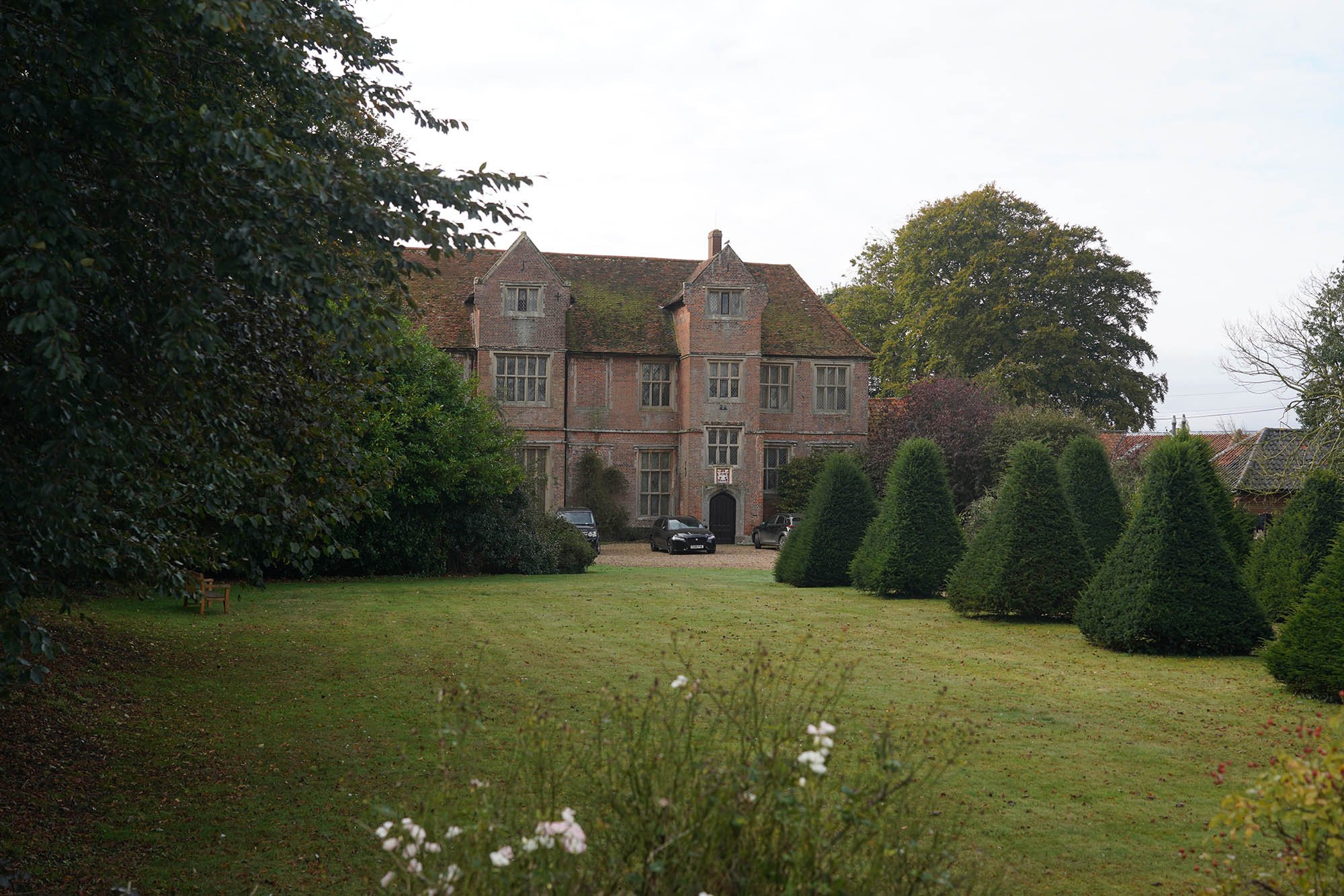
Erwarton Hall.

Erwarton Hall Gatehouse.

A distant view to Mistley.

Descending down to Holbrook.

Wall Farm Wharf.

The Royal Hospital School.


Stutton Church.

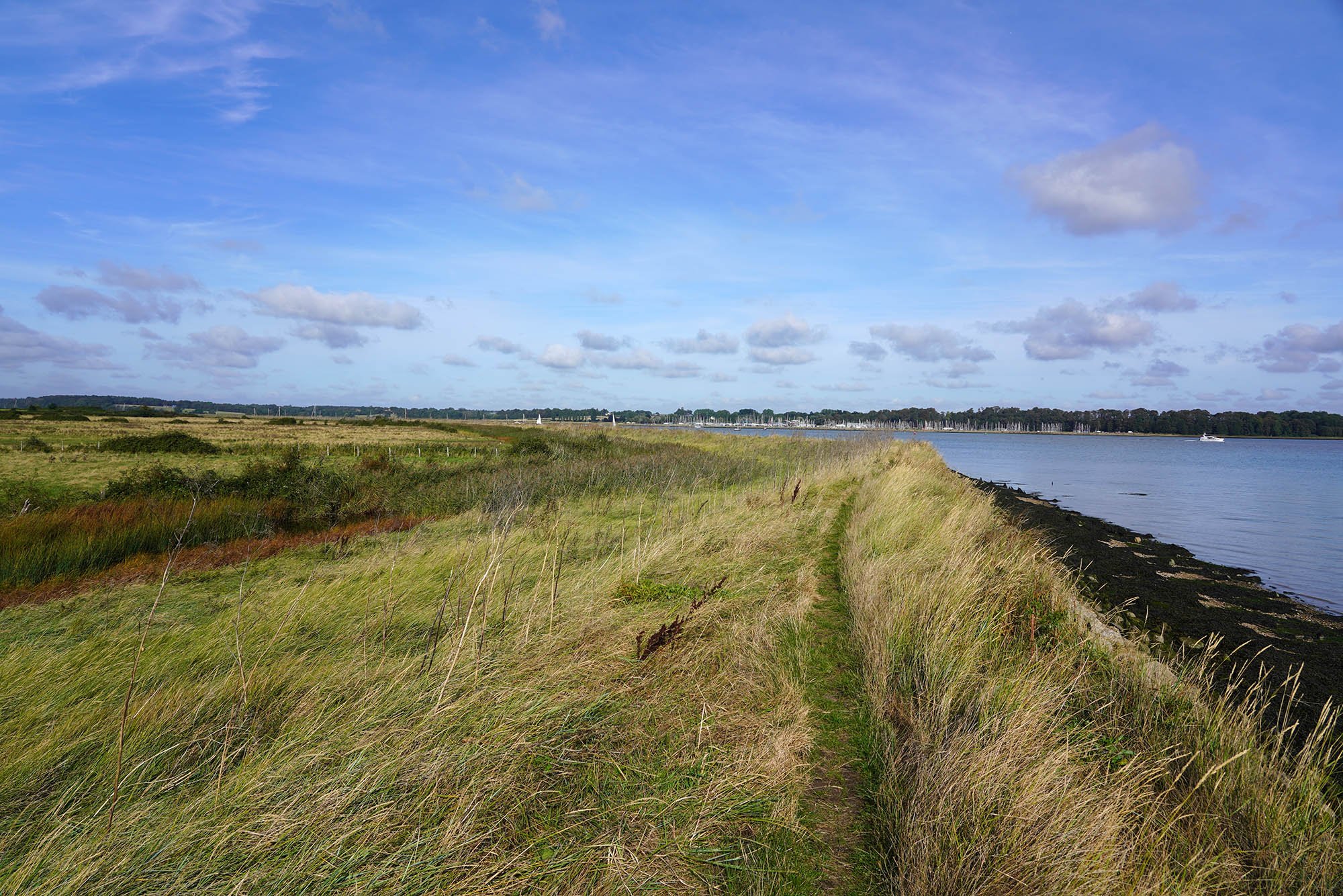
Back on the edge of the Stour Estuary.


Crossing the Railway towards Cattawade.

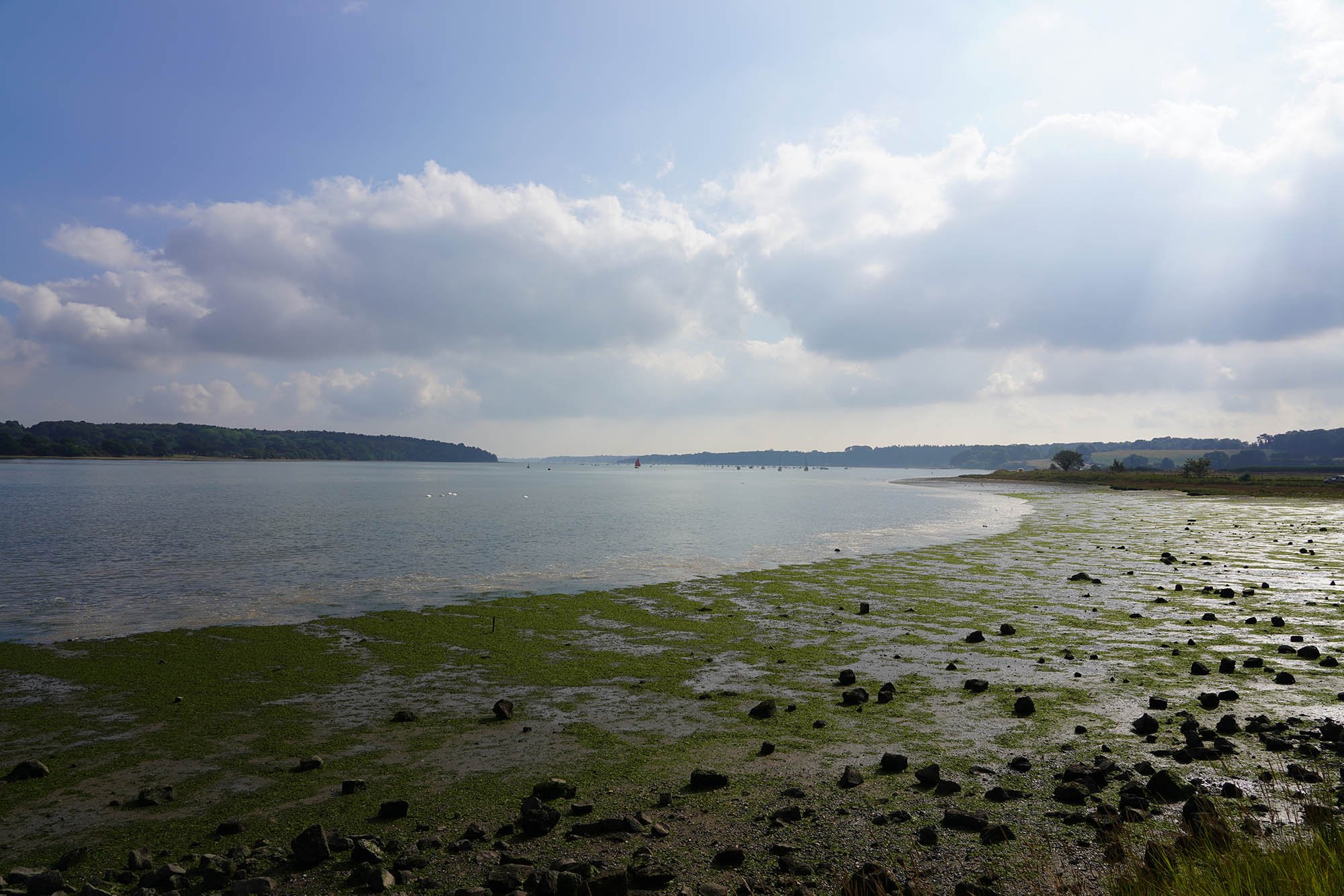
The Stour Estuary.

Early evening at Cattawade Picnic Site.