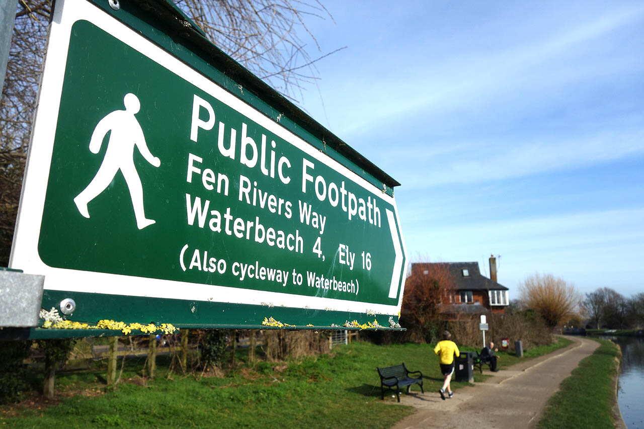
Fen Rivers Way
Guidebook available in the shop!
Distance: 50 Miles
Start: Cambridge, Cambridgeshire
Finish: Kings Lynn, Norfolk
The Fen Rivers Way is a low level 50 mile long waymarked trail that begins in the city centre of Cambridge and follows the meandering River Cam and Great Ouse to Kings Lynn. The route is well served with a regular train link between Cambridge and Kings Lynn making the route very easy to break down over numerous days. I decided to break it down into 5 easy stages.

The Fen Rivers Way is a 50 mile long trail that follows the watercourse of the River Cam and Great Ouse River from Cambridge to King's Lynn. The route has many contrasting sections, with bustling busy city streets and vast expanses of flat open fenland. Numerous villages and towns are encountered along the route including Waterbeach, the historic city of Ely, Littleport and Downham Market before reaching the coastal estuary. The flat fenlands are particularly important to wetland wildlife including a range of insects and birds that can be seen along the path. Numerous pools are passed giving the opportunity to see birds such as Redshank, Snipe and countless geese and ducks. The entire route is well served by the King's Lynn to Cambridge train line making it very easy to complete single day walks over a longer period or have a single base for several nights and complete the route in sections. Included in the book are dozens of photos showing highlights of the route., directions including alternative routes, maps of the walk and of all nearby towns and villages, locations of shops and overnight accommodation.
Customer Rating: 4.6/5
Paperback | Page Count: 78
Day 1: Cambridge to Waterbeach (11.1km)
Day 1 along the Fen Rivers Way is a short day of less than 7 miles and starts at the city centre of Cambridge and follows a lovely section of the River Cam to the nearby village of Waterbeach.The route is well served by an excellent rail link at the end of each day. I actually parked at the car park at Waterbeach and got the train into cambridge city centre and walked back to the car along the route.

A spectacular roman catholic church near the start of the walk.

Crossing a large open park near the city centre and making my way to the River Cam.

Amazing buildings surrounding the park.

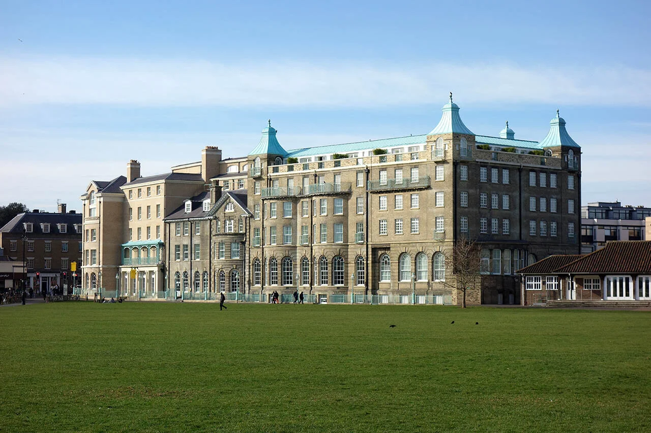

Midsummer Common.

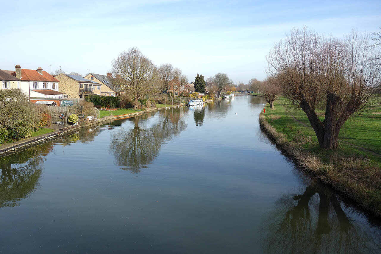
After about a mile and a half or so I finally reach the River Cam.

The direction of travel along the Cam.
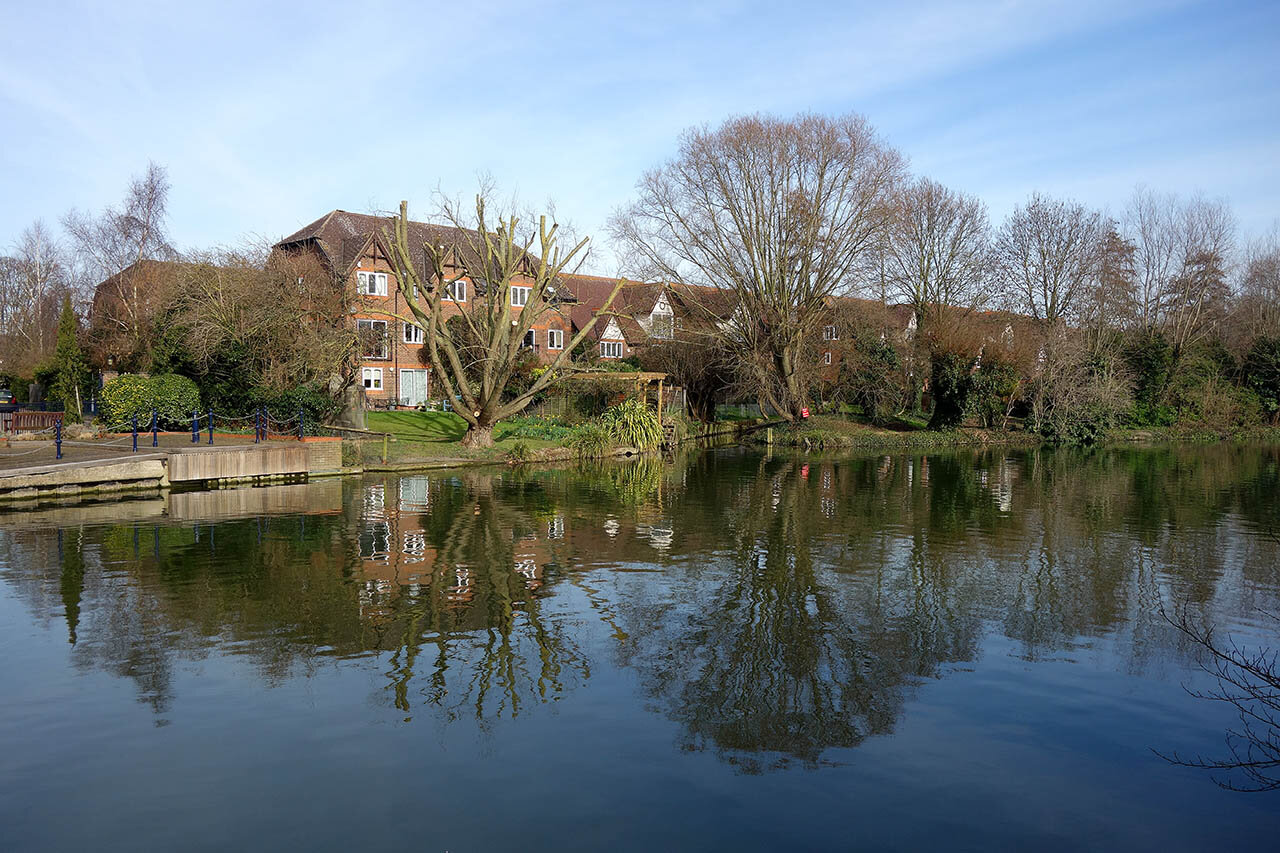
Houses along the River Cam.

Old Cheddar's Lane Pumping Station.
Just past the pumping station I cross the Cam to join the Western Side.
Only 4 miles to the end of the day.

The cycle path and walkway along the River Cam - lots of people about today.

Riverside Cottage, dating back to the early 14th Century.

Continuing along the Cam.
Biggin Abbey.

Baits Bite Lock.


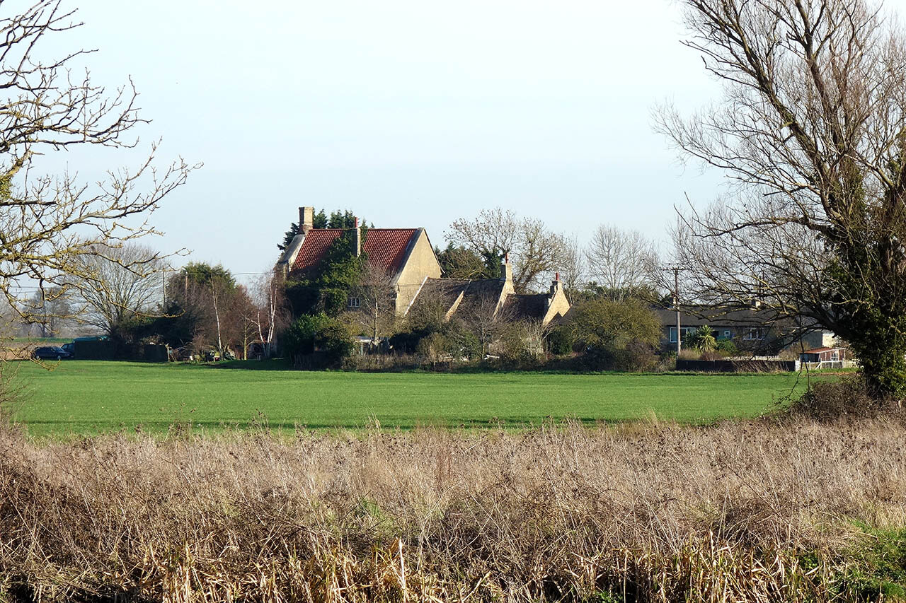
A pillbox along the Cam. This was just before Waterbeach and the end of day 1.
Day 2: Waterbeach to Ely (18.4km)
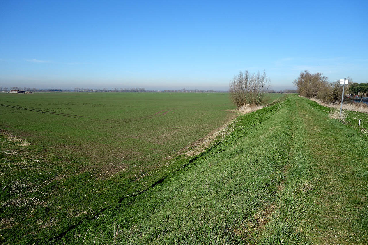
The second day along the Fen Rivers Way is an 11 mile stretch from Waterbeach to the historic city of Ely and takes you along some of the most remote area of the Fens. The River Cam remains in company for several miles where it merges with the Great Ouse River which is then followed until the end of the walk at Kings Lynn.

Following the flood bank towards the River Cam.

Some of the rare signs indicating the route.

The River Cam.

A view back to Waterbeach.


Signs pointing the way - 10.5 miles tog go...

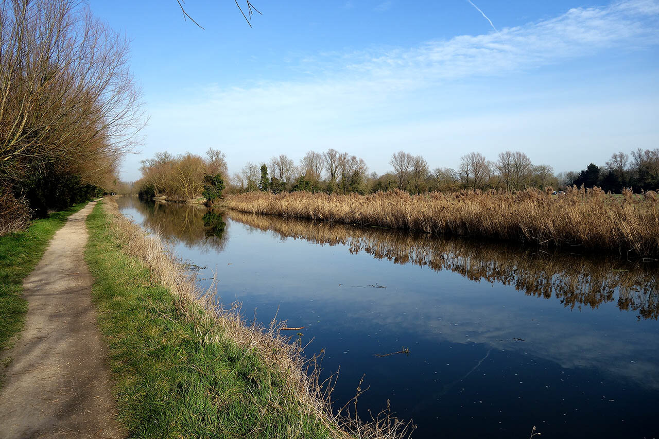
Nearly all of the walking today was along the flood bank, and thankfully as its still early in the year there are no cows!
Peaceful walking along the river.


Lovely areas reclaimed by nature.

The River Cam.
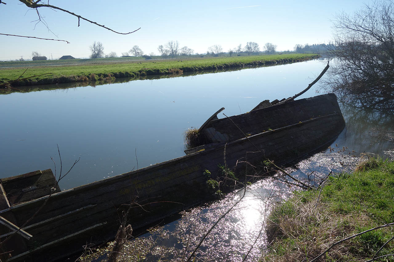
A sunken boat near Upware.

An information board informed me the light colour in the field is the course of the River Cam many years ago.
A low level view but still remote and peaceful.

Pillbox along the river just before the A1123.

A1123 bridge over the River Cam.
Just a mile or so from the merging of the Rivers Cam and Great Ouse.

Another area for wildlife. I saw Little Egrets and Wigeon in the pool.

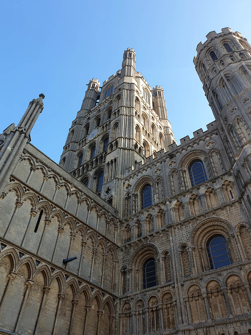
The first view of Ely Cathedral towering over the low lying fens.
A footbridge over the Great Ouse.

Getting close but still a few miles to go yet!
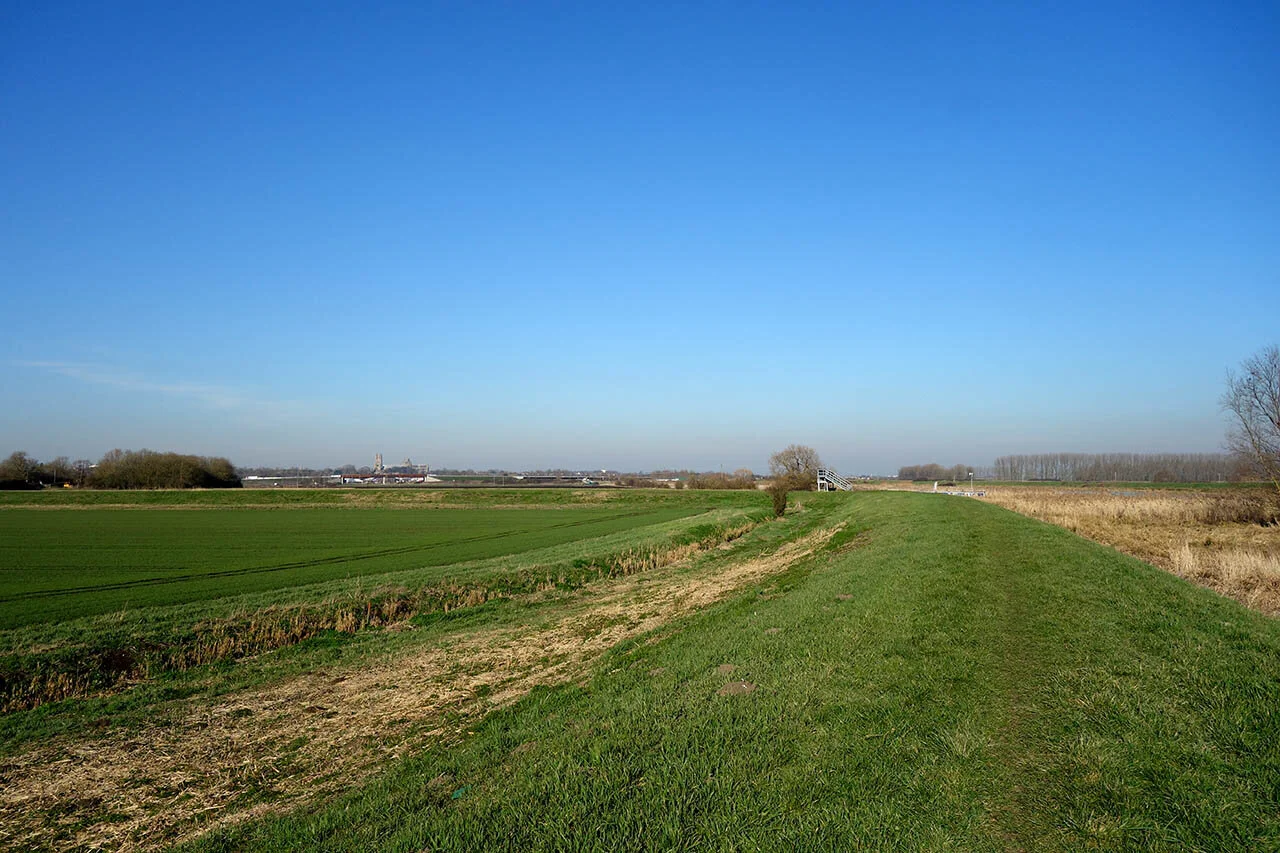
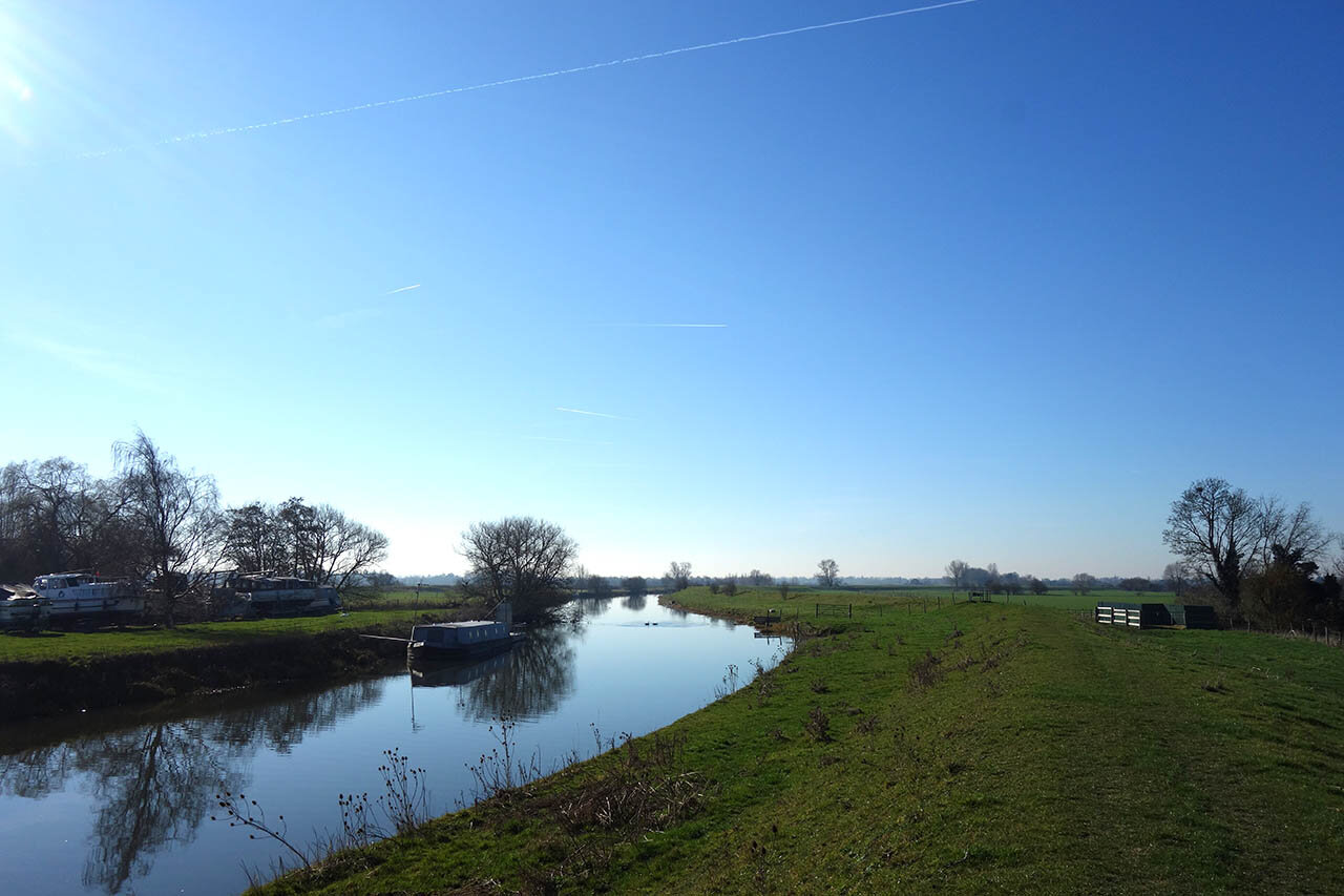
The Great Ouse riverbank.

The new bypass around Ely.

Finally in the city of Ely, well known for its rich history which I will explore on my next day along the Fen Rivers Way.
Day 3: Ely to Littleport (12.5km)
The third day along the Fen Rivers Way is only a short one, following the Great Ouse River for about 7 miles to the village of Littleport. I chose to extend the walk slightly to take in the Motte and Bailey Castle and the spectacular Ely Cathedral too before heading out along the Great Ouse.
One option for today is to book two nights stay at Ely and use public transport back at the end of the day and return in the morning.

Heading through Jubilee Gardens towards the castle.

Some of the earthworks from the Norman Motte and Bailey Castle.

Located just next to the cathedral.

A city with an extremely rich history, to find out take a look at the video!

Ely Cathedral.

The bishops palace.

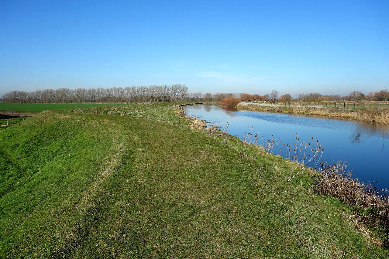
Back on the trail now and heading along the Great Ouse.


Joining the riverbank path with the road alongside. This stretch was a little noisy!

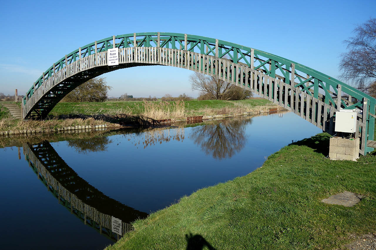
The road bridge at Queen Adelaide.

Finally away from the road and its absolutely lovely!

The merging of the River Lark.

Not far left to go now to Littleport Train Station. I Parked here and got the train to Ely which cost only a few pounds but the other way, parking at Ely and getting the train back would have cost nearly 3 times as much!
Day 4: Littleport to Downham Market (20.6km)
The fourth day along the Fen Rivers Way begins at Littleport and follows the Great Ouse River to Downham Market. Both places have train stations and ample parking so a linear walk can be completed with ease.

Just a few minutes out of Littleport and the Fen Rivers Way follows the riverbank of the Great Ouse with the busy A10 right alongside. Its several miles of this and to be honest, its the worst part of the whole walk... made worse by reports of Hogweed growing here. If walking in summer find an alternative route!

A long line of Pylons.

A small country park at Brandon Creek.

Approaching Brandon Creek.

The Little Ouse River joins the Great Ouse at Brandon Creek.

The Ship Inn at Brandon Creek (now closed).

A little crossing of the river and I’m now in Norfolk!

Once in Norfolk the signposting becomes far better.

Finally away from the A10.

The bridge at 10 mile bank.

Crossing the bridge at 10 Mile Bank and joining the opposite side.
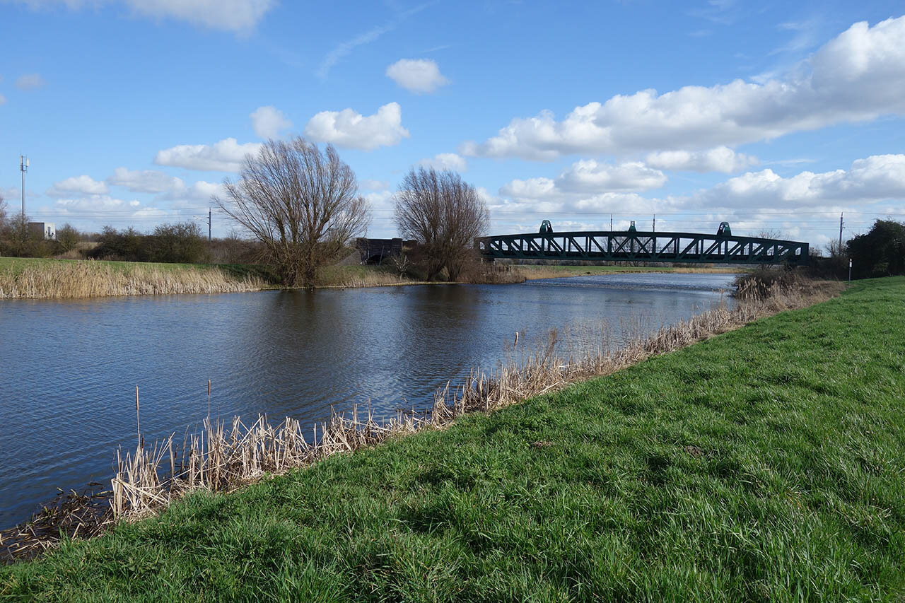
The railway bridge near Denver Sluice.

The river changes around here, with the riverbank becoming far more salt-marsh-like.

New signs for the route.

Last section of riverbank as I approach Downham Market.
Day 5: Downham Market to Kings Lynn (21km)
The fifth and final day along the Fen Rivers Way starts at Downham Market and ends at Kings Lynn. An optional stop is available at Watlington half way.

Re-joining the way at Downham Market.

Walking between rivers, rather unique walking I'd have to say!

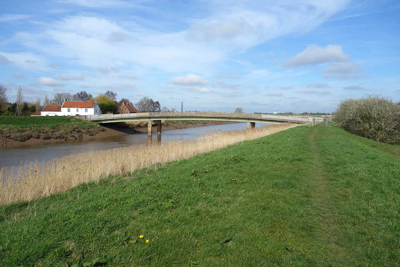
Stow Bridge.

Continuing along the riverbank. Definitely signs of salt water around here!

The church at Wiggenhall St Mary Magdalen.
Wiggenhall Bridge.
Church Ruins ahead.

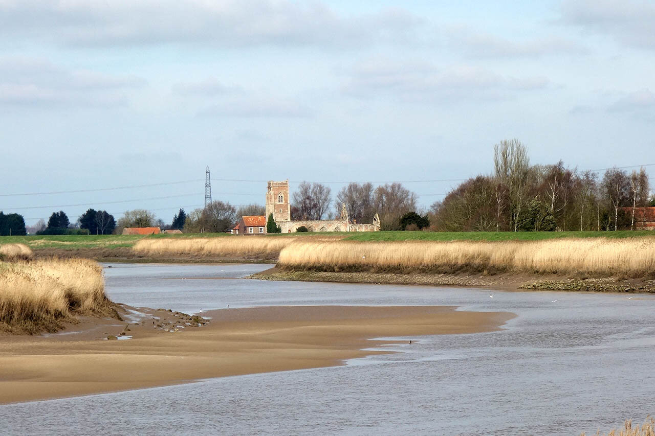
The ruined church at Wiggenhall St Peter.


Amazing setting right along the river.

The church at Wiggenhall St Germans.
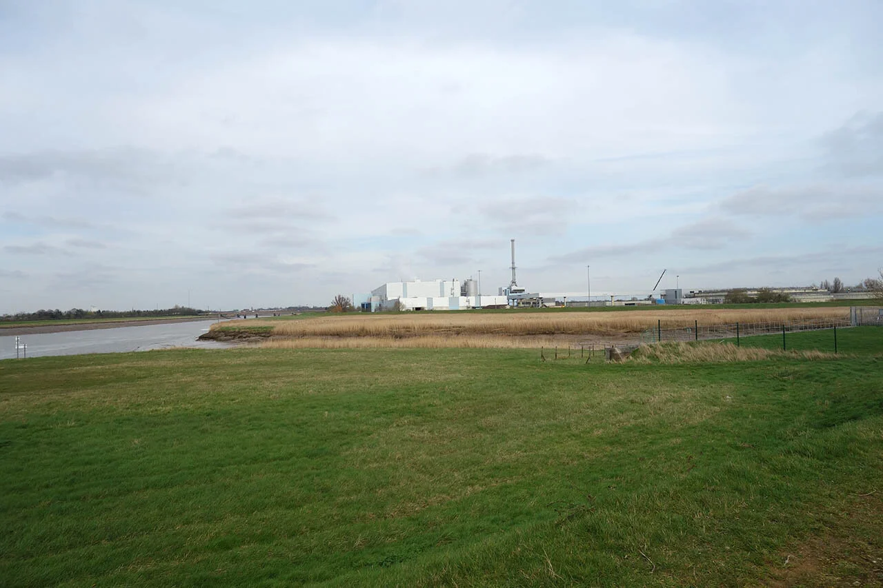
After Wiggenhall there is a long stretch of riverbank leading round to this large power station.

Almost at Kings Lynn Quay.

The Quay marks the official end to the Fen Rivers Way.

Kings Lynn is full of historical buildings so its time to explore what I can before catching the train back.
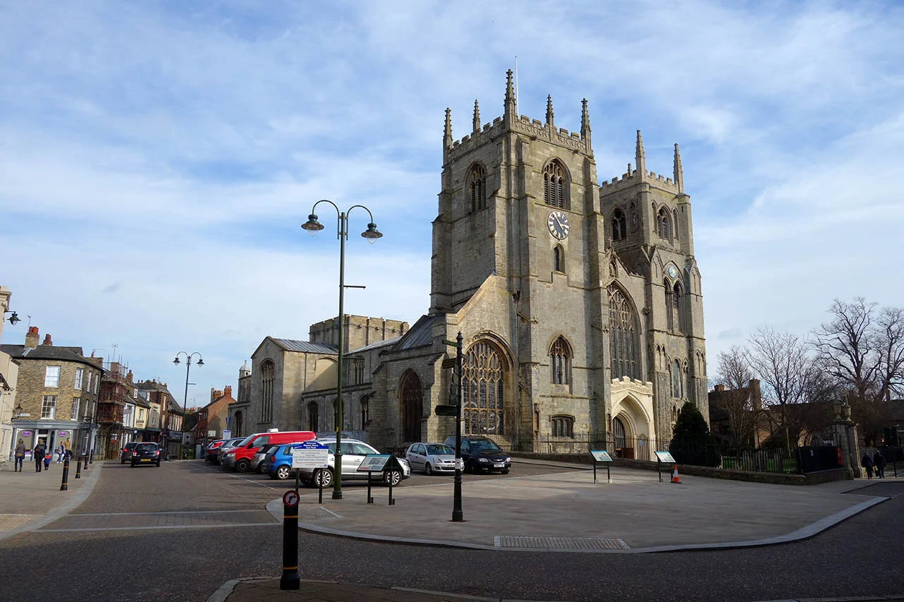
Kings Lynn Minster.
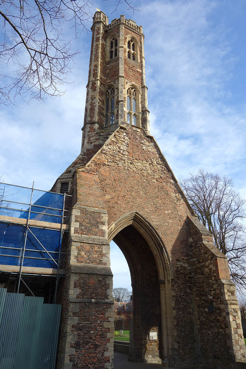
Greyfriars ruins.
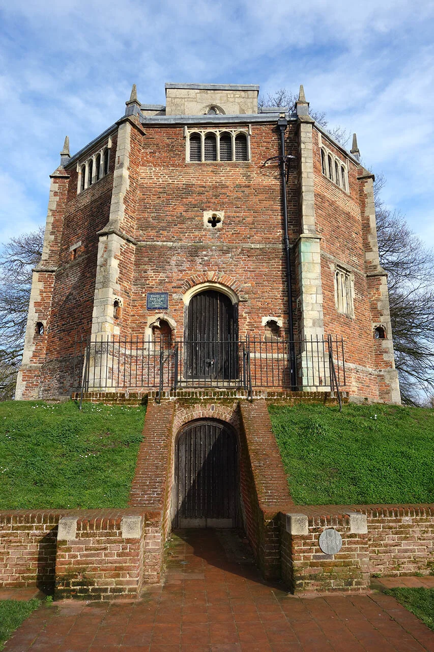
Chapel of Our Lady of the Mount.